 |
| View from parking area |
The hill within an interesting community purchase with a view to recreating the land to its original habitat, it is worth an internet search and reading.
 |
| Walking map |
I jumped in the car and drove the short distance to park at the caravan park at Glengoulandie.
I crossed the burn at the wooden bridge immediately before the deer centre entrance. No obvious access the hill. Spoke to a local who pointed out an overgrown track on the right immediately after crossing the bridge.
 |
| Infrequently used path |
I could see another fence some way ahead across extremely marshy ground. Tried sticking to higher areas but feet were in water/bog well above ankles at times. Sprung about a dozen partridge. Next there was a sizeable fence to climb to bring me to open moorland.
 |
| Got to climb this |
 |
| Found the track |
The going is pretty good a wet grass track and my only decision is whether to cut off and head upwards through the heather or hope for the spur. I continue on the still wet but ok trail and reach a post that appears to be set slightly back. I can see the main trail but decide to follow this faint trail into the heather and ferns. The OS map confirmed this would be ok.
 |
| Spur track |
Eventually I spotted another post so on the right line. The climb basically follows semi hidden burns which you can hear babbling away but often don’t see. Walking was a cautious affair, constantly prodding the sticks but still there were a few times the foot went down hidden holes. It was glorious isolation but not the place to sprain an ankle or worse.
As I climbed movement to my right a beautiful stag stood looking at me. His colouring was so dark he blended perfectly with the heather. A couple of bounds and he disappeared over a ridge never to be seen again.
 |
| Summit in sight |
 |
| Summit cairn looking towards Loch Tummel |
All the higher hilltops are covered in cloud but the local views are still fine, particularly Gleann Mor, the path of Schiehallion clearly seen, Loch Kinardochy.
 |
| Schiehallion path clearly seen |
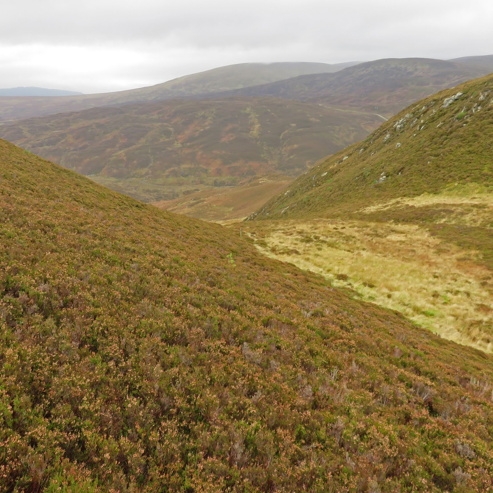 |
| View on descent |
On the way down red grouse, pheasant and stonechat sighted, not bad.
Followed the trail and back over the marshy ground to the car.
A good walk that fully met the objective.
Distance; 2.75m (4.43km)
Ascent: 945ft (288m)
Time: 1.53
No comments:
Post a Comment