 |
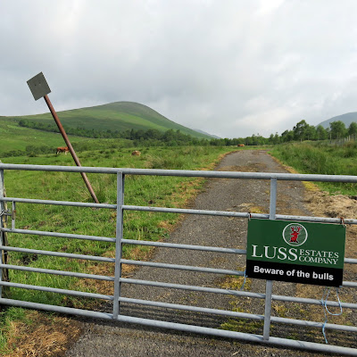
| Two of them on the left the 3rd follow the road just can be seen |
 |
| Proper start |
 |
| Looking back to start |
We almost went to the high point of Auchengaich hill (546m) before heading left via a very faint ATV track, across the now level ground, to the cairn at Beinn Tarsuinn (656m) for elevenses.
 |
| Chaorach and A' Mhanaich |
 |
| Stay left of fence |
 |
| Poser |
The clouds had lifted so we had good viewing ahead.
 |
| New fencing on descent just about to drop off |
On the way down the route up A’ Mhanaich could be clearly seen, around 350m of ascent, and it looked like this new fence is going to be extended up this also. We could also see a faint track curving round to Glen Luss, the path?
We reached the bealach between Glen Fruin and Glen Luss at the stile but we were heading back to the car. Of the signposted path nothing could be found.
 |
| Burn and reservoir where's the path? |
 |
| A' Mhanaich ridge |
 |
| Thankfully still eating |
Despite the change of plans and enjoyable walk.
Time: 4.10
Distance: 9.7k
Ascent: 650m
No comments:
Post a Comment