Category: Sub2k/Marilyn
Height: 511
An interesting and educational short walk today with the KOIR.
 |
| Choose your walk |
 |
| Near the start Kirkland Hill in sight |
 |
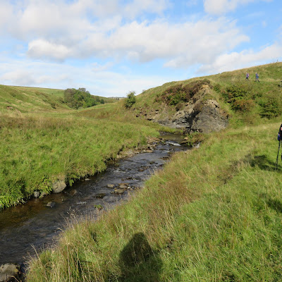
| This size of burn capable of driving a mill wheel |
Once away from the burn the route goes cross country to the remains of St Connel’s church, one of the oldest church sites in Scotland dating back to the 9th century.
 |
| St Connel's kirk, the miners cairn and Kirkland Hill |
The current ruined site is circa 12th century (albeit rebuilt by the local miners in the 1920’s) and a pleasant place to shelter from the wind for a tea break. The notice board gives more detail of the various graves and tombs discovered at the site.
 |
| Keep to the right of the gorge |
The mast at Todholes Hill is prominent and as we climb the radar masts on the Lowthers appear. The Churn burn below meanders constantly changing direction in such a short space.
The wind is now strong and cold, yip it is still September, another layer on, as we turn and climb to the top.
 |
| Tinto behind trig |
However, too cold so back down the western slopes, heading to Glenwharrie, finding a wall to shelter behind for lunch.
 |
| Surfaceman and poet |
Another good day out.
Wildlife: Raven, Goldfinch,
Time: 3.56
Ascent: 1220ft (532m)
Distance: 7.4m (12.1k)
No comments:
Post a Comment