Hill: Am Bathach (The Byre) (798m) & Ciste Dubh (Black Chest) (979m)
Type: Corbett & Munro

Last year when we were staying at Cluanie Inn I watched a walker descend the ridge heading back from the Corbett of Am Bathach. I turned and said to the good lady that it looked spectacular and I was adding it to my To Do list.

Well today was the day for it and I was really looking forward to it. It stands out from the A87 as it is a narrow peak/pyramid like hill with steep slopes it looked interesting.
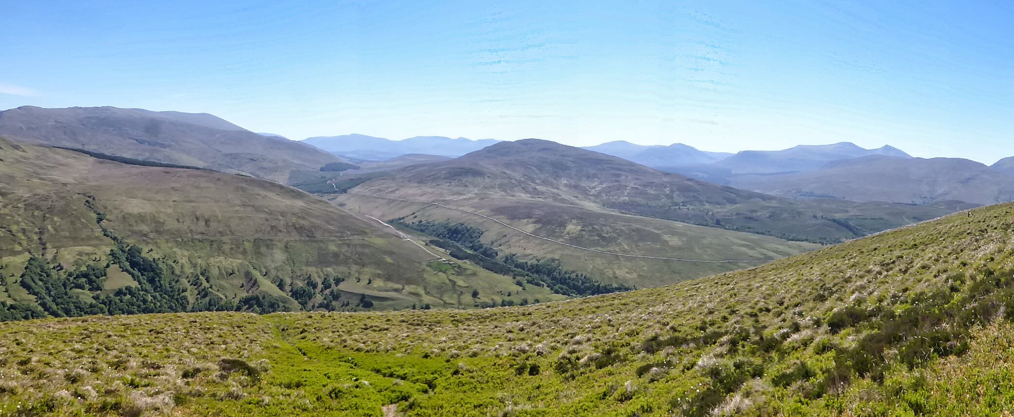
 |
| Time for a breather and a look back to the start and Loch Cluanie |
I began from the plantation on the A87 and I knew that the initial series of ramps were just going to be a slow slog, head down, step by step just keep gaining height. There was a decent path to follow, pretty firm after this dry weather but sections showed where it can get very boggy under different conditions. By the time I climbed to the ridge proper I did have a bit of a sweat going, it was warm.
 |
| A proper undulating ridge |
 |
| View down to the Cluanie Inn |

From that high point the ridge undulates well aware of its narrowness and the steepness of its flanks, a long way down to either glen. Still no difficulty, just the wow factor of this superb hill surrounded by its bigger Munros but in no way is this hill walk inferior.
 |
| Am Bathach is the middle peak |
 |
| Up top Aonach Meadhoin on left |
 |
| Ciste Dubh ahead but a big descent first |
Reached the summit. 1 hour 40m pleased with that. Time for some refreshments and enjoy the views.
This was the 1st of a double ascent today as I was also taking the Munro of Ciste Dubh which was directly ahead. I was aware that the SMC book says that it is not as near as you might think, ok.
 |
| Common frogs love bogs |
I knew I had a long descent to the Bealach a’ Choinich but in fairness it gave me a good perspective of the route ahead. The bealach is a peat hag strewn area but was fairly dry, lots of deer prints in the mud but none spotted.
 |
| It looks benign but ahead is the worst section |
 |
| An Cnapach peaks out |
Starting to climb again with the track going to the right of the crags. This was the worst section, even in dry conditions it was a black gloopy quagmire, the very eroded track frequently lost and it was with great relief to get back on a decent path heading for the prominent peak of An Cnapach.
 |
| Contouring An Cnapach |
 |
| The magnificent summit of Ciste Dubh, track can be seen on the left |
The track continued to its left but there is a short drop before climbing the narrow exposed final section. It had been a beautiful day but as I reached the narrow section the winds got up and buffeted me all the way to the summit. Being very aware of those massive drops on my right at times it was a wow moment as the gusts tugged and pulled.
 |
| Summit view back to Am Bathach centre & An Cnapach right |
 |
| Five Sisters peaks left Glen Affric on right |
 |
| The Brothers centre & 5 Sisters on right |
 |
| On descent An Cnapach's jaggy peak |
It really is a top viewpoint, a stand alone hill but the many other Munros are not far away along with a great view through to Glen Affric.
 |
| On descent The Brothers ahead |
 |
| Nice view of the descent side of Am Bathach |
The wind gusts had ceased as I descended back to the bealach, thankfully the higher perspective allowed me to pick a better line through the gloop.
 |
| Higher view of the walk out on left side of the burn |
 |
| View from the bealach |
At the bealach I had a bit of phaffing around before finding the stalkers path that would lead me back to the car. It was a long walk through the glen and the heat had brought out the beasties so glad to get to the end of the track.
Without doubt my favourite ramble of the year so far.
Ascent: 1099m
Distance: 13.6km
Time: 5.41
Wildlife: Ringed Ouzel; Meadow Pipit; Cuckoo (heard); Common Frog; Raven;


