Hill: Meallach Mhor (Big lump of a hill)
Type: Corbett
Height: 768m

Most of the reports I had read about this hill were less than complimentary, mainly a pathless heather bashing slog, not a lot of fun at all.
Because of the long walk in, actually more the long walk out, I chose to Bike/Hike this trip.
I started early as the forecast was for this to be the warmest day of the year, have I heard that before? Yes I have and of course it wasn’t.
Parked on a scrape west of the Tromie Bridge. A crisp blue morning sky for my 6 mile cycle. It was a stunning cycle in through the Glen Tromie natural woodland but it was also very cold, 3 layers and I had forgot my gloves so a fast bike in.
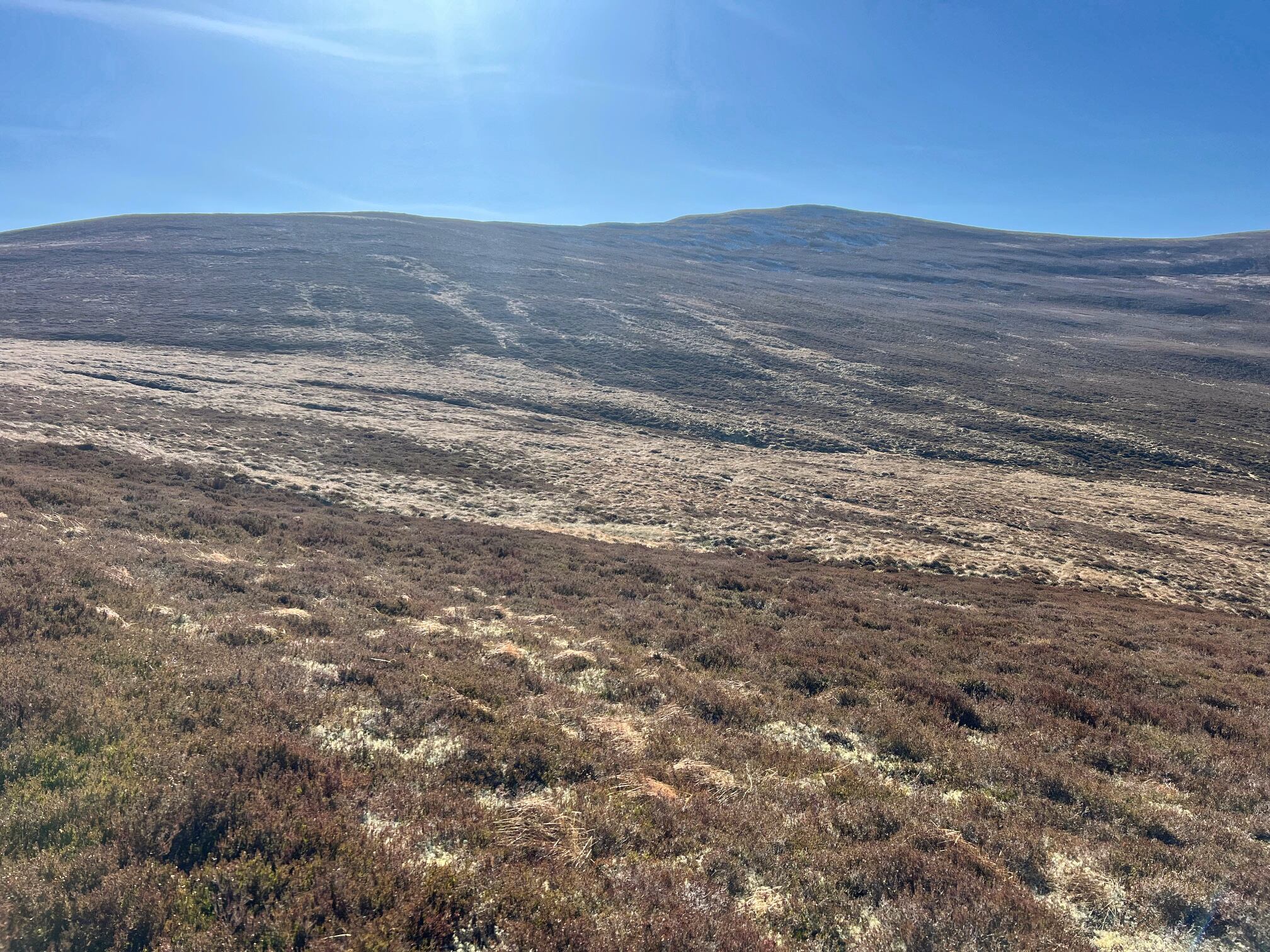
I was surprised at how high the heather was on the surrounding hills but a local I talked to said the deer culling meant next to no deer which has resulted in lots of tree and shrubbery growth.
 |
| Looking back to the lochan |
I had noticed a track on the OS map which started just after the abandoned Bhran cottage. This appeared to lead up to the bealach between Mhor & Bheag. I talked to the occupier of a cottage who said she was aware of the track but the start was not obvious and she thought the track disappeared. Most people she said just went the awful route starting around the lochan marked on OS25 maps.
Undaunted I intended to try the track and if no good I could go cross country or retreat. I found the start of the track, not too obvious but not hidden either. From here looking upwards I could see some tracks going through the heather, worth the risk I thought. (PS: Afterwards I read the Walkhighlands route description which says this track does not exist at the lower end, it does as you will see BUT it starts about 100m further on from the cottage NN 75623 91203 , easy to spot when looking for it.).
 |
| Track on right Bheag behind |
Bike tethered to a tree and up the track I went. Initially it was pretty boggy for a couple of very short sections but okay going and I was making good time until I realised my water bottle had fallen off the rucksack. No way was I going up a Corbett on the hottest day without water. I backtracked and spotted a flash of blue almost fully submerged in a boggy pool, a lucky break.
 |
| Track going well up to the right of Bheag |
 |
| The summit and the area I planned to cross but kept going |
After that the track was pretty good, slightly overgrown in places but never lost. I got to the high point where I had originally planned to cut off and go cross country but the track was good so I decided to keep going. From here it looked as if the better option was to continue and go up the not so steep looking north ridge instead of going cross country.
 |
| Glad I did keep going now found the track to the top |
At the bealach between Bheag & Mhor I thought I could see an animal track going up the ridge. As it turned out it was not an animal track, it was a narrow but well trodden human track which took me all the way to the summit. 1Hour 12min from leaving the bike. Why is this route not more prompted, no crap terrain, no heather bashing, a good gradient all the way up?
 |
| View to Loch an-t Seilich |
 |
| Now to the Feshie Munros and beyond |
 |
| View down to the start this side of the trees |
Another advantage of bagging this hill is it is a stand alone hill so the 360deg views were spectacular. I could even see the place I was staying in Newtonmore.
Although I enjoyed the views my time on the summit was limited due to the very cold wind and my light clothing, where was the heat of recent days?
 |
| Kingussie in between the hills, Newtonmore on the left |
 |
| The track coming up the flank of Bheag from Glen Tromie clearly seen |
So instead of having my food break up on the summit I headed back down the same way to have lunch in the relative heat beside the river. As beautiful and tranquil spot that you could have for lunch.
 |
| Descent with the a track ahead all the way to the Munro of Meall Chuaich normally climbed from Dalwhinnie |
As I descended I spotted a couple of walkers away to my left gaining the ridge from the boggy/heather slog circuit. I think they had spotted me as they stopped and looked my way. Maybe they had noticed my bike chained to a tree wondering where I had gone and now realised this was the way to go.
Overall an excellent ramble. But don't even think of the steep heather bashing unless that is your thing, this easy route is the future.
As I cycled out I flushed a huge black bird from a small heather patch, it flew into the trees crashing the lower branches.
Just after that i cycled round a bend where an estate worker was standing. I said can I ask you a daft question 'is it possible that I flushed a Capercaillie? He said where did you see it. I replied about 200 metres back there round the bend. He just smiled and said 'maybe'. I left it at that.
Ascent: 588m
Distance: 26.5km (19.97 bike)
Time: 3.48 (hill 2.12)
Wildlife: Wheatear; Meadow Pipit; Pied Wagtail; Chaffinch; Tortoiseshell Butterfly, Capercaillie?
No comments:
Post a Comment