Showing posts with label New Donalds. Show all posts

Sunday, 23 March 2025

A recce that became the real ramble.....Deer Law Circuit

Hill: Deer Law & Conscleugh Head

Type: New Donald & Donald Top

Height: 629m & 624m


I had missed out on these two when I did Blackhouse Heights. However, I did not fancy another trip to Black Law first. When I was returning from Blackhouse I could see a new estate track running along the bottom of these hills but where did it come from? I drove down to the Megget Reservoir and beside a cottage there appeared to be the start of a track over the other side of a field. Time to explore.

The weather was grey and damp and there was fresh snow on the hills so I decided to do a recce to see where this track went to.

A very cold wind was blowing down from the Megget water so it was a quick change well clad.

It's a track is it the one I wanted?

I was going to knock at the cottage to check the route was okay but it appeared that nobody was at home. The gate to the field was a simple hook so no climbing required before I crossed the mole hill studded grass to the track.


The track seemed more substantially built than that required for sheep. Not wide enough for a windfarm, maybe some tree planting going to take place.

Deer Law now in sight

The track winds around Broomy Law following the Glengaber Burn and after about 15 minutes Deer Law is directly in view. Rough hill ground and plenty of sheep.

Start of ATV track

Straight on I could see the track ahead going between Deer Law and Black Rig. But on the right my eye was caught by the quad bike trail going up the easier gradients of Deer Law before continuing into the snowline then into the clouds. That looked a lot better than the unknown terrain, so recce abandoned, Decision made to do at least Deer Law so off I went and followed the hill track upwards.

Looking across to Greenside Law another Donald

Nice and steady, gently plodding on, I was surprised how well I was going. Good gradients maybe but it was still a steep climb. The quad bike track was obviously well used and had compacted the ground. Certainly easier than heather and tussocks. A bit tougher underfoot when I hit the snow line which deepened as I got higher. I was also into the clouds along brought poor visibility. The wind was gusting, short sharp snow showers. Really glad I had full winter gear on along with Ski Goggles, vital.

Lower stone pillar

Summit stone

Out of the gloom a tall pointed stone appeared which I knew this was what I was looking for. Problem was that although the ground had flattened out there was still a higher point behind it. So on I went until another pointed stone appeared, this time surely.

Conscleugh Head this way, track soon to disappear

I was relieved to discover this was also a quad track junction which would helped make my decision to bag the other hill. As I headed off towards Conscleugh I reflected. I am not sure that I would have continued across peat hagged boggy moorland in these conditions on my own, but with the track off I went.


This was all moorland up here and of course the track disappeared into the heather, what! The ground had started to rise so I continued and was happy to see through the gloom a fence on my right. That would do nicely.


The solitary Iron rod

I kept as close to the fence as I could until the ground flattened. I had no idea how the top was marked if at all. According to my GPS and OS Maps this was the high point at 624m. A bit further on I spotted a thin solitary iron rod on the other side of the fence. I was comfortable that I was on the high point flat area Of Conscleugh Law so that would do it for me.

Back that way

I had no intention of going across the moor in these conditions to make a circular route so it was a case of following my footsteps back to Deer Law and then back down the quad bike track.

Glimpse of reservoir plus the burn and the track back

About half way down I came out of the clouds and was able to enjoy the views. At the high point I could just see some of the Megget Reservoir. I also took some time to grab some food and drink, well deserved.

The number of these beautiful sheep pens indicate how many sheep there were on these hills

There were grouse, deer and hare tracks in the snow but apart from the sheep not a bird or animal was seen.

Cottage and my car

Still an unexpected bag of a pair of hills on what was just to be a recce. Still don't know where that track went to and somehow I doubt if I ever will, although could be an opportunity for the good lady to stretch her legs without doing the hills..

A wild day for a ramble but a good one nevertheless.
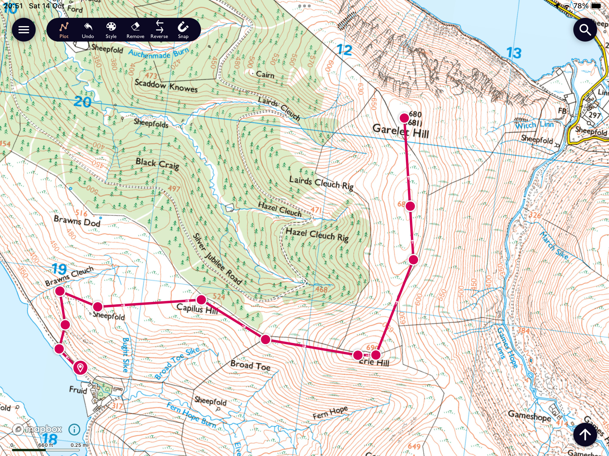

Ascent: 536m

Distance: 8.1km

Time: 2.37

Wildlife: None

What's in a name.....Blackhouse Heights or Black Cleugh Hill

Hill: Blackhouse Heights/Black Cleugh Hill via Black law

Type: New Donald/Donald

Height: 675m


For a variety of reasons I had not been out and about enough on the hills to get my early season walking fitness up to the mark so today would be a tester.

To add to the possible difficulty another beast from the east was imminent. The forecast for today was for a blue sky light winds, sounded great..

The car had to be defrosted but as I approached the start the low grey clouds were dominant with little blue sky to be seen.


Parked at the Megget reservoir and walked up to the stile at the start of the Manor Valley trail.

To get to my New Donald I was having to ascend the old Donald of Black Law again so I was familiar with the route. But different weather conditions, this time it was much colder and I could see light snow being left on the hilltops as every cloud scudded by, great.

After about 15 minutes I got this view of Conscleugh Heights

Black Law directly ahead 

My plan was to go to Black Law then onto the New Donald of Blackhouse Heights (1/50map) aka Black Cleugh Hill (1/25map). After returning to Black Law I then wanted to go onto Conscleugh Heights and Deer Law but rough moorland and an unknown descent off Deer Law.


Leaving the Manor Law track at Foulbrig I repeated my previous route and followed the fence to Black Law. Taking time of course to look at the view and take a breather.

A cornice beginning to form on Dollar Law

The Pentlands on the horizon

I had forgotten how poor the terrain was. It was typical of these parts, mainly pathless Borders tussocks along with patches of heather and boggy moss. Throw in many peat hags which had to be detoured and it was hard going. I must have climbed over the fence from side to side over a dozen times. 


As I climbed the terrain was getting whiter with the snow covering and the wind was unrelenting. The feel like temperature in the biting easterly wind was definitely sub zero. I was well clad and not overly cold apart from my cheeks and nose. I had a slight concern re frostnip.

Black Law fence junction onwards to the true summit (2m higher)

Black Law summit

Reached the fence crossroads and headed onwards to the true top of Black Law marked by a small stone pillar.

At least the cloud was not obscuring my route to Blackhouse but the terrain was possibly the worst of the walk. It was only 35 minutes but it seemed much longer. A mixture of lined hags and heather with many eroded stony areas all on very narrow lanes so awkward going.

From Black Cleugh Hill summit looking over to Dun Rig

The summit top is yet another fence crossroads at the top of moorland but it did have  reasonable views across to The Pentlands.

Looking back to Black Law, sheltered side less snow

As I turned and headed back to Black Law I was now starting to feel tired as the terrain and unrelenting cold wind was taking its toll.

Decision time hop over fence and head to my left or straight down

The return took the same time but felt longer so I reluctantly decided to leave the other two tops for another day, my fitness not good enough and it would have been a risk as I would have had a long crap terrain cross section off Deer Law.

Although the descent was still awkward walking I at least had the wind at my back.

The track I wanted

Reaching Foulbrig a coffee and sandwich helped me get back up the rising trail to Black Rig.

One short climb then downhill all the way now, yippee.

Looking over to Conscleugh a lot of rough ground in between

Happy to see the Megget reservoir and get the car heating system on full blast

It was a good walk but but my legs were really feeling it towards the end, probably a bit too ambitious but I will need to return to get those other two.

PS: As the 1:25 map is the most detailed/accurate then I presume the hill should rightly be called Black Cleugh Hill.

Ascent: 768m

Distance: 16.8km

Time: 4.55

Wildlife: Pheasant; Raven (pair)


Sunday, 3 November 2024

The Scrape

Hill: The Scrape

Type: New Donald

Height: 719m


The forecast suggested a mostly dry day, blue skies but strong and cold northerly winds. Well I can get layered for the cold so a dry day was to good to miss.

I decided to pick off another New Donald and my nearest one left was The Scrape. I have fond memories of the Drumelzier round so this was no hardship to return. The last time I was here I was in company so would probably not have made the detour to The Scrape anyway.

It was a pleasant drive taking in the autumn colours and before I knew it I was at the small parking area where there were already 2 cars and a van. If one of the cars had parked up closer to the others it would have avoided a many point turn and tight parking but got there. No room for any other cars if anyone else turns up.

This area is reputed to be the burial place of Merlin, the Arthurian sorcerer. Buried on the banks of the River Tweed according to ‘Vita Merlini Sylvestris’ a medieval manuscript held at the British Museum. 

Lovely colours from the start

Walkhighlands suggests taking the track behind the cottage but I remember from my previous visit it did not end well so I stuck to the main track. I was higher above the suggested route and could see that it had disappeared in a bracken jungle, seem to remember that from before, a good choice made.

The track is soft grass for about the 1st third, very nice indeed. As was the scenery even in this harsh low light, should be a lot better on the descent. Through the trees and it was noticeable how prominent Robins have become recently.

Spot the track

I followed the track to Pykestone from where I would head for its subsidiary top. I was surprised at how high the bracken still was, glad that there was a track winding its way through it or it would have been left for another day. It was much warmer than forecast so it was jacket off all the way to the top.

After the soft grass the track is now more awkward, loose stones, laid to help the grouse shooters ATV’s get traction to power up the hill no doubt.

Middle Hill (left), Dollar Law (centre) and Drumelzier (right)

Still, it was a kind walking gradient but from here the tops still seems far away. When the track eases off it becomes more peaty and grassy. The terrain is now full on heather which would be awkward walking. Sprung about half a dozen red grouse, not many for the size of this heather moor.

On left 1st view of The Scrape


Views opening up Broughton Hills foreground, Pentlands behind

When I spotted The Scrape I considered going off route and cutting the corner earlier but chose to continue with the path up to the fence near Pykestone Hill, no rush and no accidents please.

The Scrape

From the stone cairn I could see The Scrape clearly and it was just a case of following a faint track alongside the fence all the way. Looking from above at the bottom section I just knew it would be wet and boggy. 

Looking back to Pykestone

Indeed it was, but only for a short section and 10 minutes later I was on the summit of The Scrape, at a fence crossroads, marked by about a dozen stones, better than some others I could name. It was now a very cold wind, particularly when the sun disappeared, but at least the wind was not the howling gale predicted.


Looking back ascent route

Always a fence

Layered up again before taking in the views which are very good. Looking east the Broughton hills in the foreground and beyond The Pentlands so clear. Behind me the other Donalds of Middle Hill, Drumelzier and Dollar Law.

Back towards my descent the Culter Fell range looked very enticing indeed.

Patchwork grouse moor. Culter hills left and Tinto right.

Too cold for food up top step so I retraced my steps until I found a boulder to sit on, in the sunshine, lapping up the views.

Full zoom to the Larsen trap

On the descent I spotted another Larsen trap, as usual well off the walking track. Looking through the binoculars this looked to be in good condition but nothing could be seen inside it. But yet again no corvids or raptors seen today!


Jacket back off I enjoyed the descent in the slight warmth from the sun but visually warmed by the stunning autumn landscape, indeed a great time of the year to be outdoors.

Another successful ramble on a glorious day. The extra time from Pykestone to The Scrape and back added less than 40 minutes.

Ascent: 620m

Distance: 12.1km

Time: 3.32

Wildlife: Red Grouse; Goldcrest; Meadow Pipit; Great Tit; Chaffinch; Robin

Wednesday, 6 December 2023

Picking off the tops on the Manor hills.....Garelet Hill

Hill: Garelet Hill (680m); Lairds Cleugh Rig (684m); Eire Hill (690m) (A narrow pass)

Type: New Donald; Donald Top; Donald

It had been about 5 weeks since I climbed a hill and I knew that if I did not start hillwalking soon it would be easy to lose the motivation. Not that I had been inactive, I was actually feeling at my fittest for some time but through other exercise. So, the one thing to get me going was to get planning and that was to draw up a winter programme. Targets I have a love/hate relationship but they work for me, sad that way.

Suitably motivated I headed off to my first winter plan objective. It was a beautiful blue sky day but the forecast was for strong and cold northerly winds. Not quite winter but certainly not shorts weather.

It was a return to the beautiful Manor Hills in the Games Hope valley.

It was as cold as it looked
I drove alongside Fruid Reservoirs looking at the frothy white waves being driven by the wind funnelling up the corridor of the reservoir lying between the hills. The car temperature showed 6 degrees but when I stepped out it was a wow, this is cold, moment. Motivation tester but I had driven a fair bit so was not giving up yet. I had thrown 3 jackets in the car and it was time for heavy duty gear to be donned including hat and gloves, was this for real?

I had decided to tick off a couple of Donald extras but this meant repeating the Donald of Eire Hill before ticking off its outliers.

Steepness of gradient can be seen at the start


Bracken dying off but adds colour
I had conveniently put the steep ascent which begins right from the start to the back of my mind but it did not take long for it to become forefront. Fit I might have felt but that was not hill fitness and I was soon puffing and blowing, much to the delight of the watching sheep on the flanks above me.

The ATV track lasted for a while before I was ‘enjoying’ the struggles through the tussocky terrain that only the South of Scotland provides for entertainment, remember this a hobby to be enjoyed I muttered.

Tussocks but Eire hill can be seen

Bit boggy, Erie Hill follow the dyke
I was glad to reach the treeline and the easier going where I followed the found again ATV track to the top of Eire Hill. Again I had forgotten how long this section was, probably not really too long but it felt like it.

Ridge I want off to the left
The views were superb but the wind was as predicted, strong and cold, so the jacket hood was now up as well, what a wimp but at least nobody else could see me.

Lairds to the fore, Garelet just seen behind
Rather than descend to the deer fence I did a bit of cross country before joining the track to Lairds Cleugh Rig, there was a bit of a descent but not much of an ascent is this really a separate top?

Unmarked top of Lairds Cleugh Rig
Nothing to mark this top but I could now see the main target of Garelet Hill which even with my dodgy eyesight I could see had a trig on top. As I ascended I came across the only other person I saw on the hills. A young hill runner came shooting down the slope towards me, no chance he was stopping for a chat. A brief ‘morning’ as he sped past.

Once again a gentle descent took me to the deer fence. I had a slight concern about whether I would need to scale it but fortune was in my favour and a gate was found.

Culter Fell in distance from Garelet Hill

View to Broad Law
A short saunter up the hill and the trig was reached. The views were really good with two caveats, deforestation and wind turbines. Keep looking north and east over Broad Law, Meggat reservoir etc, but forget the south west vista. I omitted the turbines snap.

Looking down to Talla Linfoots
Returned the same way watching heavy rain showers going north to south over to the west but none came my way.

Descending towards tussocks and Fruid reservoir
Apart from the tussocky ground it was a straightforward return with time to enjoy the very attractive borders landscape.

The Donald of Cape Law behind the farm
An enjoyable straightforward ramble completed quicker than the route planner indicated so pleased with that. Great views but the winter gear clearly required from now on.

Ascent: 553m

Distance: 8.4km

Time: 3.02

Wildlife: Meadow Pipit; Raven; Sparrowhawk; Kestrel