Showing posts with label Luss hills. Show all posts

Wednesday, 11 December 2019

It should have been a lot easier up Beinn Bhreac

Hill: Beinn Bhreac (Luss) (Speckled Mountain)
Category: Graham
Height: 681m

It was a ‘will I, wont I’ decision this morning. I had not prepared to walk but the forecast apps suggested that this was going to be the only decent walking day of the week, indeed a lot more awful weather due.
Once the ‘will I’ had won next decision was where? As I was later leaving  it had to be a shortish up and down. So, I decided to add on the missing hill from last weeks ramble in Glen Douglas and hope that the terrain was better.
Follow that muddy track
I parked up at the same spot but noticed a forestry machine had left a track from here so this became my starting point instead of wandering up towards the farm and the formal start. From the indentations I think this had been one of the nearby MoD’s tanks lol, definitely caterpillar tracks and ground well flattened. Of course the downside was a wet boggy slippy track particularly after the weekend rain.
Still the track went up and around the wood to the top of the tree line where it became more like a quad back track. But no complaining it was much better terrain than its pal across the way.
The terrain was good but once again my mind and body were in different universes. From early on my calves were burning and I was finding it hard going. Unusually for me I was picking spots ahead to focus on, make the hard yards and have a rest, glad I was on my own and making my own pace. Interestingly after the event my heart monitor showed I was not stretched, a strange one.
Looking up the An t-Sreang to the Alps
Despite this stop start I was still making progress up the hill. I think the faint quad tracks helped the motivation.
Stopping was no hardship as there were fantastic views up the An t-Sreang and on to the Arrochar Alps and the neighbouring Corbett’s. There were some heavy grey clouds around which for me meant push on, maybe the storm forecast for later was blowing in early.
Ben Arthur fore and Beinn an Lochain behind
I could see a fence above me which was where the quad tracks went, a new fence sturdily constructed and of course barbed wire on top. A few futile half attempts made me reconsider. From this angle I could see a gate in the fence down below but descending was not an option. 
Helpful rope with Tullich Hill behind
Optimistically I continued to follow the fence as it contoured away from the top and my instincts were good. An assisted crossing point. The rope protected me from the barbs so all good again.
Trig comes into view ominous cloud
I knew that the top could not be far away but no tracks here. Suddenly Loch Lomond appeared in the haze, great view and to my left I spotted the trig, all was good.
Looking north from the trig
The views from the summit were stunningly beautiful particularly the snow covered tops which stretched miles and miles away.
Snow capped Ben Lomond
 Ben Lomond so close over the water. Conical Ben More very white. The Lawers range looked so clear. 
It was to be fair exceedingly cold on the summit, the feel like temperature well below zero so I was not lingering for long. The ridge looked tempting but that is for another day, maybe coming up from the hotel side, on a good day it will have excellent views.
Follow fence to gate on descent Arrochar Corbetts behind
Still back down the same way but heading to the gate this time. About half way down I heard powerful car engine break the silence. Then below came a few vintage cars, numbers on their sides so part of a formal rally. As I descended there must have been at least thirty passing by, not a convoy, well spaced out. Not racing but interesting, all shapes and models but all made a spectacular noise. I found out that it was a 4 day trip from Lands End to John O’ Groats.
Vintage
So that was that. Objective achieved and much less stressful than the ramble up Tullich Hill.
I have just realised that my last 3 walks were not on my winter list, need to get focused on that.
PS: That night a massive and very painful virus hit me, that was the reason for my out of form. It was a nasty few days.

Wildlife: Stonechat; Raven; Chaffinch (flock); Fieldfare (flock).
Time: 2.45
Ascent: 610m
Distance: 5.3km

Wednesday, 4 December 2019

Gruelling Tullich Hill a hard earned tick

Hill: Tullich Hill (Hillock)
Category: Graham
Height: 632m
I was carrying a couple of injuries and had debated last whether to do this or not but when I woke I knew that I could not waste this blue sky day.

I have often said on this blog that the Graham category of hills are frequently the most awkward and this one did not let the side down. Another mini adventure on what looked a straightforward outing.
Tullich Hill from parking area
The temperature en route had varied between -4 and zero. The drive along Glen Douglas, a winding twisty very single track iced road to the start was interesting. Only met one car and thankfully it was at one of the few passing places, I didn’t fancy reversing far on the ice. Started the walk at the normal parking spot before Invergroin farm.
Cannot get lost at this start
Followed the sign onto the hill after the farm and here the adventure began. There was an iced terrain track and from the looks of it this could be a mudfest under other conditions, today fairly solid.
Then I realised my GPS had not been locked together properly when I input the batteries and only the backing was attached to me. I had been meandering between tussocks but headed back more in hope than expectation as the stuff was deep. Luckily it was lying on an open area, relief!!
1st deer fence
Continued on this same track towards a deer fence. I had spotted two stiles and decided to head to the one on my right as the ascent from there looked less steep, its all relative this was a steep climb. Over the stile onto the open hillside.
The 1st deer fence is met circa 150m and the 2nd circa 400m, the bit in between was the killer zone.
A view of Ben Reoch from ascent
There was no obvious path and I thought I had spotted a stile high up at the 2nd fence so aimed roughly in that direction. The walking in this stretch was probably the most awkward of anything this year. This area between the fences is a tree plantation probably done 3-4 years ago. There are many hidden trenches and deep ones. Even the tussock ridden terrain was very difficult, like walking on fresh snow. Each step felt ok then the top gave way sinking up to calf and often knee deep. This was slow and torturous as well as potentially dangerous.
Oh I almost forgot, in between the two deer fences they also throw in a rusty barbed wire fence to climb, that one drew blood.
I had to delayer as the effort had me sweating heavily even with just a base layer and a light jacket.
Beinn Bhreac with Ben Lomond behind
As I neared the 2nd fence my heart sank as it was not a stile and I had read previous reports of walkers climbing the deer fence. Luckily the angle I arrived up there allowed me to spot a stile away to my right.
Grassy slopes, top up to the right
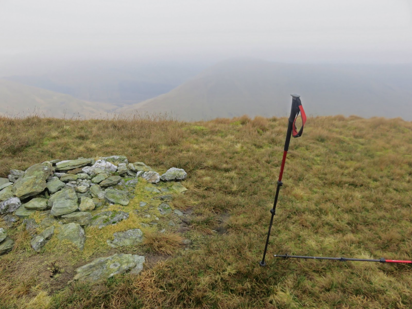
Once over this the final stretch was contouring up the slopes. The only views ahead were the grassy slopes until finally I reached the last section and found a path!! 50 metres later it all opened up and by god it was stunning.
The top was just ahead marked by a cairn. Time for soup and a roll and take it all in. 1 hour 40 from car to top slightly behind my predicted time.
Arrochar Alps
The Arrochar alps are majestic particularly The Cobbler but Ime, Vane & Venachar were in cloud. Ben Lomond mainly clear but in the distance the Lawers range looked cloud covered. Loch Lomond impressive but the bright low sun did not allow me to get good views of the other Luss hills. Still glad I am here.
The Cobbler from an unusual angle
I had thought about doing the double with its buddy Beinn Bhreac but I was not up for a 300m descent with a similar ascent possibly back up the same stuff I had just climbed, no way.
On the descent view from top deer fence
On the way down I followed my newly found path which although disappearing a few times got me back down to within 50 metres of the 1st fence and the style. I stood on top of the style looking around I realised this was not the one I had initially crossed, this one (and the path) was another100m east.
The last section to the style reminded me how awful this terrain was.
It's cold down at the farm
Finally the last fence, no climbing and the icy walk back to the car, everything down here still frozen.
Glad I did as the views were superb but I cannot see me repeating it.
Even the wildlife was hiding, just these three individual sightings and all at low level.


Wildlife: Wren; Meadow Pipit; Carrion Crow
Time: 2.56
Ascent: 555m
Distance: 6.5km

Thursday, 12 September 2019

Back to the Glen Striddle Horseshoe

Hill: Beinn Dubh (Luss)
Category: Graham
Height: 657m

Weather forecast promised to be kind to us as the Ayr OIR headed to the Luss hills to walk the Beinn Dubh and Glen Striddle horseshoe.
Large boulders have recently been deposited in the ad hoc parking area presumably forcing people to go into Luss for the £1 an hour parking. But just enough room to squeeze in our cars.
Bracken track
A pleasant warmth in the air as we headed up the bracken covered slopes. This is a short hill walk but it is a constant gradual climb from the outset.
A path through the ferns then out into open country.
Excellent views back to Loch Lomond
Before long you want to stop and look back as the views open over Loch Lomond and many of its islands. The engine drone of the tourist seaplane can be heard and then spotted in the grey sky as it heads out the coast.
On your left hand side the steeper looking slopes to Ben Eich and Doune hill are impressive.
Clear route to Beinn Dubh
This is a popular hill so there is a good track, albeit boggy at times, all the way to the top.
Just before the summit of Beinn Dubh the good weather had changed a bit, more cloud and a cool breeze, ‘taps’ on.
Beinn Dubh cairn
From the top the views were not the blue sky ones promised but nevertheless superb views of a stunning range of hills. 
Glen Douglas hills in foreground, Arrochar Alps on the skyline
The Arrochar Alps in full directly ahead. To the right the Lomond/Crianlarich range include the pointed tops of Ben More and Stob Binnein. Last but not least Ben Lomond and the Ptarmigan ridge. 
Looking back to Beinn Dubh
Add in all the local Luss stuff and a mightily impressive viewing point for a small effort.
The horseshoe to Mid Hill
The ridge top across the horseshoe to Mid Hill (the highest point) was boggy but straightforward. Looking down into Glen Douglas it was impressive a good feel for the height gained in the walk.
Glen Douglas and Ben Lomond
Further along gave us a great viewpoint for lunch looking steeply down the grassy slopes into Glen Striddle with Loch Lomond directly ahead, spoilt are we not?
The view makes lunch taste better
Finally the descent off Mid Hill was much drier than I remembered from my last outing here, today just very wet on the lower slopes.
Sadly the finale is a two mile tarmac trudge back to the cars back the conversation and scenery help it go past quickly.
Another superb day out, in good company, taking in the fantastic Scottish landscape.

Wildlife: Buzzard, Raven,
Time: 4.01
Ascent: 2316ft
Distance: 6.91m

Sunday, 6 January 2019

Luss Grahams, cracking hills but they don't get any easier

Hill:  Beinn Eich & Doune Hill
Category: Graham
Height: n/a
Parked up at Luss looking forward to a good walk. However, I noticed a warden at the metres, thought this was a free parking area, nope £9 for the full day. You don’t mind a smaller fee £3-4 quid but this is rip off. So our cars moved a small distance to free parking, there you go no money to them, their greed cost them, no sorrows.
Another extremely mild day for the beginning of January as we walked the tarmac road up Glen Luss for the 2 miles or so until we got onto the real walk. 
Beinn Eich
As you go up the road you get your first view of Beinn Eich.When you turn off at Edentaggart the first challenge is Beinn Eich, 703m. There is a faint track for a while before it becomes rough tussocky stuff. Don't follow the blue pipe around the hill or you will go off track. It is damp and boggy in patches and typical of Graham hills it is simply an unrelenting slog up the hill. 
Steep slog
With the steepness of the gradient there are also a significant number of false hope ridges, always another one behind it.
Getting there

Still plenty of opportunities to take a breather and look back at the hazy views of Loch Lomond.
Doune Hill ridge
 Doune Hill ridge looks far away from here.
Eich cairn
When we get to the top the small cairn has been flattened, cairn vandals? A light cloud is shrouding us and it has lowered the temperatures significantly. A quick lunch whilst looking down Glen Mollochan and across to Mid Hill & Beinn Dubh.
The knobbly hump of the Graham, Cruach an t-Sidheim can just be seen but not for us today.
Doune Hill ahead
We descend about 200 metres before making the gradual climb to the top of Doune Hill, the highest Graham in the Luss hills at 734m.
Misty trig
The trig appears out of the gloom and thankfully the climbing is over for the day.
View from Doune, Beinn Eich on right
A steep and meandering bracken and tussocky descent ensues with super views down Glen Mollochan, the burn twisting and turning, a lovely view.
Grassy descent
The walk out along the glen basically follows the left of the burn and is very wet and boggy in lots of places. But nice to feel hemmed in by the hills. Some impressive gulley’s on the flanks of Beinn Eich.
Finally the tarmac trek again back to the finish.
A tough walk today with an ascent of over 1000 metres that would make most Munro baggers proud. Good company and done at a good pace. Only disappointment, where was the wildlife?

Wildlife: Raven, 
Time: 5.59
Ascent: 1062m
Distance: 19.3km

Monday, 2 July 2018

Glen Fruin Graham double

A cracking day yesterday covering the two southernmost Luss Grahams. In the extra special summer heat this was a long and challenging circuit with two steep ascents and one very steep descent.
We started at the A817 cut off, room for 4-5 cars. 
Reservoir with our hills either side
I decided to go anti-clockwise but either way is an option. Go through the gate and normally head immediately up the grassy slopes of Auchengaich Hill to get to the point where it levels off. We had to walk up the path a bit as a herd of cattle with youngsters were camped en route, just in case.
This 300m grassy ascent is pathless, the bracken and nettles were growing high and the breathing was fast. Already great views of the circuit and the reservoir.
Beinn Charoach from Beinn Tharsuinn
Once on top cross the boggy terrain, clegg bite draws blood, and head up to Beinn Tharsuinn, via a faint ATV track, where a small stone set marks the top. Great views of the Luss Hills.
Follow the fence up to Beinn Chaorach, the first summit, cairn on left but cross fence to trig if you need to. More superb views including the Arrochar hills and well beyond.
The ascent route to Beinn a'Mhanaich is clear to the right of the main fault line
Follow the fence along the plateau where there are superb views of the next target and the route. Now at times a very steep descent to the bottom. The fence is useful to grab onto at times.
Looking back to Beinn Chaorach
Looking back from the floor the descent just undertaken can be more appreciated.
Head up here to right of gorge

There is an option break the walk here and to walk back to the reservoir via the burn, cannot get lost.
Looking back to the climb
The fence can be followed almost all the way up to Beinn a’Mhanaich but it is another 300m or so of at times very steep ascent, the legs were feeling it.
 
a'Mhanaich summit looking to Loch Lomond

Once on top a small cairn is the finish but there are even more extensive views including the Lochgoilhead hills.
No military on duty today so we descended via the ridge along to The Strone where we the descended to the reservoir. This was a mistake as the terrain was awful, very difficult walking and two more clegg bites, obviously the protection does not work for me.
Ridge to The Strone and Firth of Clyde
 If doing it again I would continue all the way down the ridge until it joins the A817 and risk the short road walk back to the cars.
We were a small party but a couple of them had underestimated the difficulty of pathless terrain in this oppressive heat so took about an hour longer than expected.
Still a walk not many people will do but I would recommend it, on a good days the views are well worth it.
PS: Surprisingly we never spotted another walker on any of the Luss hills on such a nice day.

Time: 6.34hr
Ascent: 967m
Distance: 12.3km