Hill: Sail Chalmadale
Type:
Sub2k
Height:
480m
Sail
Chalmadale is small Arran hill that I had been meaning to get around to
and an opportunity arose when I spotted it on the Arran Mountain
Festival programme. This was way back in January and I had totally
forgotten about it until it popped up as a calendar reminder the day
before I was due to go on it. Wow, quick decision time.
Forecast
looked good and the ferry was operational so yes a day trip was on.
On
the quiet 7am ferry in good time for my brekkie roll and time to
catch up on my sleep as we sailed.
As
the group gathered my fears about the ability of a couple of the
group to maintain the required pace were rising. More about that as
this ramble evolves.
The
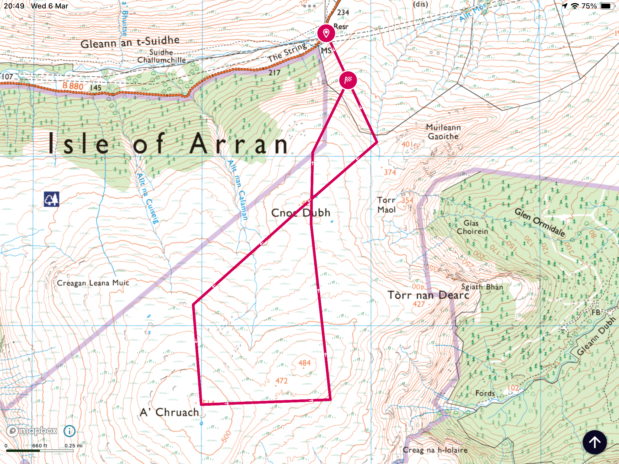
walk is a rough but fine route on the west of Arran starting at
Catacol and finishing at Dougrie, ascending Sail Chamadale en route.
 |
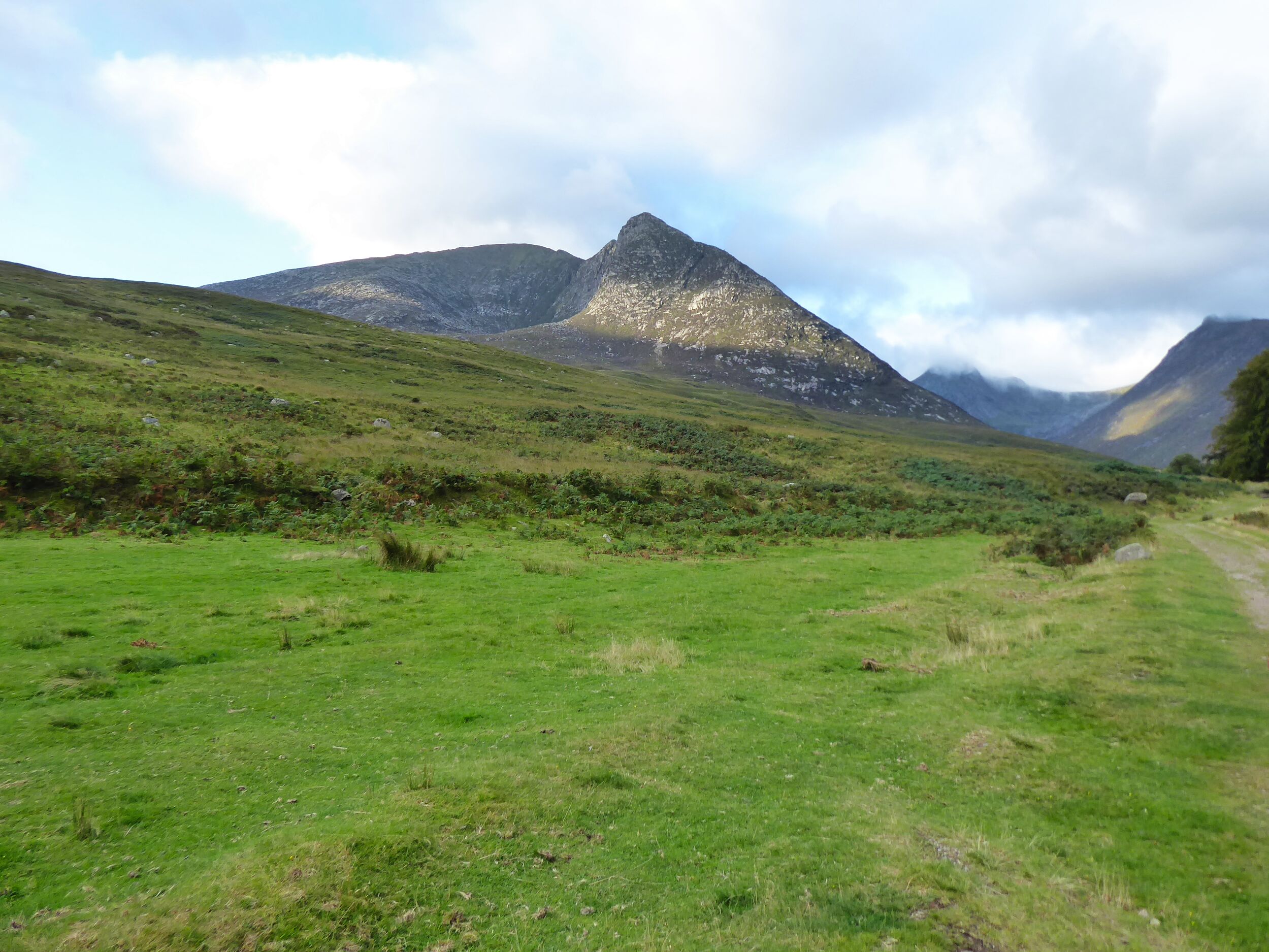
| Start of walk 'eagle crags' on left but none spotted |
 |
| Beinn Tarsuinn (the smaller one) directly ahead |
The
walk begins by heading up Glen Catacol which I recognised as the
final section of my 3 Glens walk. The water on the Abhainn Mor was
very low but crystal clear, I would drink out of that if required.
Sand Martins flew in and out of an eroded sandy riverbank and a lone
sand piper called and flew away near by. Not long before the Cuckoos
began calling, we reckoned 2 on our right and at least one on the
left. And superbly a female on our left started calling and we then
spotted a pair flying, great start. Although the walk started with many heavy grey clouds it improved and we had no rain.
The
track at this point is narrow, alternatively boggy and stony.
 |
| Heading up the glen Ben Bhreac slopes on left |
 |
| Example of track with enclosure ahead |
 |
| Uniquie Arran Whitebeam tree |
At
a ford the left turn becomes Gleann Diomhan but we crossed the burn
and continued south up Glen Catacol, starting to be hemmed in on our
right by the flanks of Beinn Bhreac. There are a few fenced off
plantations presumably protecting the rare to Arran Whitebeam tree.
These are restricted to the northern part of the island and are
numbered in their hundreds. |
| Waterslide |
The
track was now rising and the broad waterfall bringing down the Allt
nan Calman was a spectacular rolling slab of stone. A cairn is reached
at point 336m and here the terrain changes. The walk leaders had been
concerned about the slow pace of the group, the
most concern being me getting back for the last ferry. The slower ones were
offered the opportunity to go back at this point with a guide but
nope they wanted to continue. The guides knew I was capable so
offered me the option of going solo, something I said I might take up
later.
 |
| Enter the bog of Loch Tanna |
 |
| From L-R Castail Abhail, Cir Mhor, A Chrois, Beinn Tarsuinn & Beinn Nuis |
 |
| Cnoc Breac on left Sail Chalmadale top on right |
We
were now walking on the west side of Loch Tanna, a really remote spot
but scenic on a day like this, not much chance of meeting anyone else
out here. It was really wet, I suppose it never dries out. So much so
we were heading higher to get better walking which for the most part
was good.
However
one of the tail enders slipped on the muddy slopes and was well covered in gloop. Not hurt and I was not alone in having a smirk but then it took another 15 minutes before they could get going again.
Now
I was getting more concerned. The pick up was for 5pm but at our rate
of progress the group were going to need to put that back, problem at
this stage, no phone signal, oh dear. The views over the eastern
hills were fantastic as the light kept changing with passing clouds.
 |
| Chalmadale from Cnoc |
Down
into peat hag terrain then up the boulder strewn nose of Cnoc Breac.
By this time the stragglers were well behind and the guide was just
as concerned as I was and luckily we got a signal. Decision made I
was going solo to try and meet the pick up at 5 where they would wait
15 minutes or it had to be a pick up with the main group, no pressure
then. It was now 3.30.
A
short descent and reascent and I was on top of Sail Chalmadale. A
quick look round then along the ridge knowing there were crags on the
nose so decision time when I reached them about which flank to take. A rugged little mountain but as always with a stand alone hill superb views.
 |
| View from cairn on Sail |
 |
| Loch Sail in snap along with track to Dougarie |
Standing
at the top I could see Loch Sail Chalmadale where I knew and atv
track would be picked up. It looked a long way down.
I
decided to turn right/west, down the steep grassy rakes, adjusting my
route as required.
With
relief I was down but the terrain between me and the loch might have
been flattish but it was the worst of the walking. Tussocks abounded
but they were islands in marshy terrain so the going was slower than
I wanted. Further relief when I found the atv track but it was so
slippery that it was easier walking to the sides. Still pace picked
up.
 |
| Looking back from Sail loch to Sail hill |
I
could now see the Iorsa Water and its hard packed track which would
lead me to Dougarie. The bracken here was the highest I have seen this
year, will soon be obscuring the track. Another ford to cross, no
stepping stones, this could be interesting with higher water levels.  |
| Looking back along Iorsa Water |
Just the river section left which was scenic, maybe just my relief at being off
the hill.
The
land owner has put in a separate track in for walkers to keep them
away from his house but it is still a decent track.
At
4.40 I reached the water and 10 minutes later my transport arrived.
So good that I even made the relief catamaran rather than the last
boat. On the ferry I got a text from the guide, around 6.40 pm,
saying that was them at the parking area. Getting to the last ferry
would have been extremely tight so I made the right call.
As
a ramble I thoroughly recommend it if you want to see Arran from a
different perspective and want the feeling of real isolation.
Naismith rule suggested 4 hours 30 and 6 hours would be more than
ample. I have finally learned my lesson re group walking with
strangers lol.
Ascent:
552m
Distance:
15.5km
Time:
6.45
Wildlife:
Stonechat;
Cuckoo;
Sand
piper; Golden
plover; Sand
Martin; Meadow
Pipit;
Skylark;
Raven,