Showing posts with label Ben Vorlich. Show all posts

Sunday, 21 October 2018

Ben Vane and the Rainbows

Hill: Ben Vane, Inveruglas
Category: Munro,
Height: 916m
The forecast was for blue skies after 11am but you would not have guessed it from the rain and very low clouds as I drove to the start at Inveruglas.
Cross the road and walk back to gate under the railway. Shortcut through the trees then on to the hard packed Loch Sloy dam road. The coos are around as evidenced by the many fresh dung heaps on the road.
Ben Vane taken on descent nicer skies
After the farm buildings turn left and cross the bridge, Ben Vane on your right.
Although the guide says there is a 2nd path further on we opted for the first path on the right, a mistake, it was a bog fest, at one point I thought my boot was staying in the gloop.
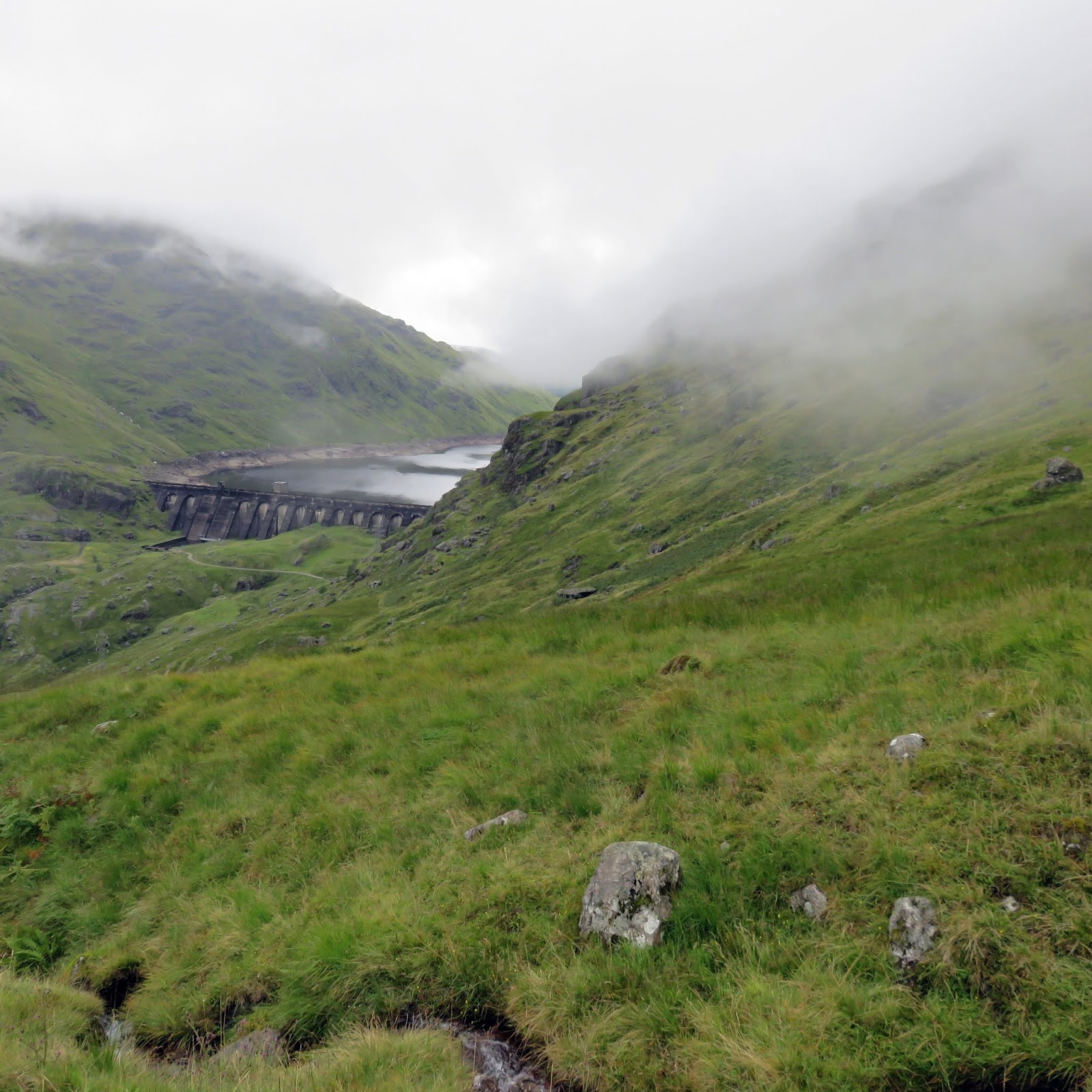
Loch Sloy dam
Still it wasn’t too long before the stony track at the base of the mountain was reached.
As we ascended there were good views up Coiregrogain and the bealach in front of Beinn Ime.
Looking up you can see that this is a steep climb today. The track does twist and turn as it gains height. There is a need to go hands on at times and there are lots of loose rocks, big and small, to slip on.
Getting near the top now the wind hits 
The steepness gives opportunities to pause and look across over the equally steep Ben Vorlich. At least the climb of that levels off for the final section but not this one. For some reason Vorlich kept its final third in the cloud most of the day when it was blue sky over here.
Ben Vorlich
I heard a voice and looked up spotted a red jacket, looked a long way away.
We realise we had been sheltered from the wind when we come to the open area and it is strong and cold.
Still a few false optimisms more turns to negotiate before we reach the cairn where a couple of people are and it turns out I know one of them.
Lunch spot Trossachs over there
Too cold and windy to lunch here so a couple of snaps and back down to find some shelter and take in the views.
Dont walk off the edge, long way down
On the way down the steepness is apparent giving great views with Ben Lomond a proud pyramid not far away.
Ben Lomond
One advantage of the rain and sun is the rainbows that we saw. 
Nice Rainbow
One of which this beautiful rainbow, the photo does not do the colours justice. It tried to form a double bow but did not quite make it. However stunning it was, as it seemed to end right on the dam at Loch Sloy. You might get fit but you don’t get sights like that in the gym. 
Loch Lomond and Inveruglas ahead
Entertained on the walk out as the shepherd was rounding up his flock on the rough ground above us.
Overall the weather was not quite as forecast but it was still a good walk.
  
Wildlife: Fieldfare, Stonechat.
Time: 5.40
Ascent: 911m
Distance: 12.9k

Monday, 20 August 2018

Ben Vorlich another Munro with nae view

Hill: Ben Vorlich Loch Lomond
Category: Munro
Height: 943

We started at Inveruglas, the parking machines broken, yahoo. A muggy day, hot down here but very low clouds.
Lower flank of Ben Vane
We took the standard route along the road then under the railway bridge onto the Loch Sloy track. A few cows on the path but not interested in us. The slopes of Ben Vane flank our right but tops not in sight.
Rock steps to Vorlich
After about 45 minutes of a walk in we reached the start of the climb. A group can be seen a bit further up the very steep slopes.
Loch Sloy dam
The initial stages are solid stone steps which aids progress but with the muggy conditions the sweat is pouring off me. This is a steep climb. Plenty of opportunities to pause, regroup, look at the Loch Sloy dam and then onwards and upwards again.
Well into cloud
The gradient does ease at times but all is relative it is still hard going. We are also now fully into the cloud so just head down and grind it out.
Track all the way
The walking is now easier and as there is a good track all the way you cannot get lost even in these conditions. Thankfully we come across the trig and cairn. The true summit is some 200 metres away but it could be anywhere as we can only see about 10 metres.
Trig & cairn not the summit
We go across to it and its larger cairn, the rain comes on proper and we shelter for a quick lunch. A raven appears out of the gloom wanting food, must have good vision that one.
Cloud thinning Loch Sloy below
On the descent the clouds thin and we actually get a view of the loch.
A bit further down and Loch Lomond appears. The walkers coming up are probably going to get a view, aargh.
Descent track
The track makes for a quick descent but the rock steps are jarring the old knees. From the bottom the tops can now be seen, clouds gone lol.
Just the long walk back wondering if the machines have been fixed and if a parking ticket is on the car.
After 7 hills in 8 days my legs are feeling it but it was a good outing despite the weather.

Wildlife: Raven, Buzzard, Goldfinch, Large White Butterfly.
Time: 5.21
Ascent: 3158ft
Distance: 8.72m 

Monday, 5 June 2017

Ben Vorlich Lochearnhead

Ben Vorlich
Today was my 2nd outing with the KRC and as we drove to our destination I was wondering if I was the weather jinx on them or vice versa. The forecast was for heavy showers but this was a lot more consistent than a shower. However, when we approached the start at Lochearnhead it had eased off and some blue sky appeared in the direction of our walk.
The walk was Ben Vorlich, a Munro at 985 metres. Munro baggers will most likely combine Vorlich with Stuc a’ Chroin but we were only intending a straight up and down.

We parked near Ardvorlich house with quite a few cars around already. Wet gear on and the group headed through the estate track, through a few gates and out onto open land. 
It is a straightforward hill with a clear track from start to finish and going by today is a popular route. The walk up Glen Vorlich gives clear views of the objective ahead. 

There is not a lot to write about as it is simply a case of a constant uphill walk gaining height at a steady rate, quite comfortable. The track is a reasonable stone and shingle route but if you stepped off this the grass and worn areas were muddy and slippy, more of which later. A couple of wooden bridges have seen better days so take care crossing them. Two runners have passed us by never to be seen again and now a mountain biker, half cycling/pushing and half carrying the bike.
Ben Our
The main rainfalls thankfully had now passed, some gear removed, but plenty of showers still around. In the good weather there are views of the flanks of Ben Our on the right. There is a slight track heading that way that I had not noticed on the map but walkers on it.
Final section approaches
We have now reached the final and steepest section but you can see the trig from here. For me this section was a 20 minute head down plod up the zigzagging track. I just keep thinking of the biker with the bike across his shoulders going up this, fit bloke.
The trig
At the trig there is a short ridge walk to the slightly impressive cairn where we chat to the biker who is just about to descend. Heavily padded just in case of accidents. Good luck to him. 

It took me 2 hours 25 to summit, longer than I expected but we had stopped for a tea break which on solo walks I would not have done.
From the top the effort is worth it as the views are excellent in all directions: amongst others Ben Lawers & Schiehallion can be seen to the north; the waters of the Firth of Forth glistening with I believe the Lomond Hills beyond; directly behind us the other Munro Stuc a’ Chroin and to the west Ben Lomond and the Arrochar Alps. 
Stuc a' Chroin
We get out of the wind and what a fine place it is to enjoy lunch. Other people arrive including two young girl runners who hop about a bit taking in the view then run off towards Ben Our.

The descent I found harder that the ascent. Twice I slipped, without damage except to my pride and muddy trousers, first on wet ground and then the scree. Concentration was full now on.

The rain stayed off for the descent but the passing clouds and light gave ever changing views of the countryside to the north.
A good but long day. Time taken was 4 hours 35 including our food stops. Ascent was 3100 feet (945m) and distance walked was just under 7 miles (11.26k).