Monday, 22 April 2019

Ben Hope my struggles on the most northerly Munro

Hill: Ben Hope
Category: Munro
Height: 927m
The weather forecast was for unnatural heat for this time of the year in this far most spot in the north of Scotland.

So, it was with anticipation we made the magnificent drive from Lairg to the start of the walk, the Munro Ben Hope. As per the forecast it was a hazy outlook which meant that the hoped for views from the top of The Orkneys might not happen
That's it up there view from parking area
This was a steep little beggar from the start, the summit is still hidden from this snap of the beginning but the slopes to get there are not.
Decent track
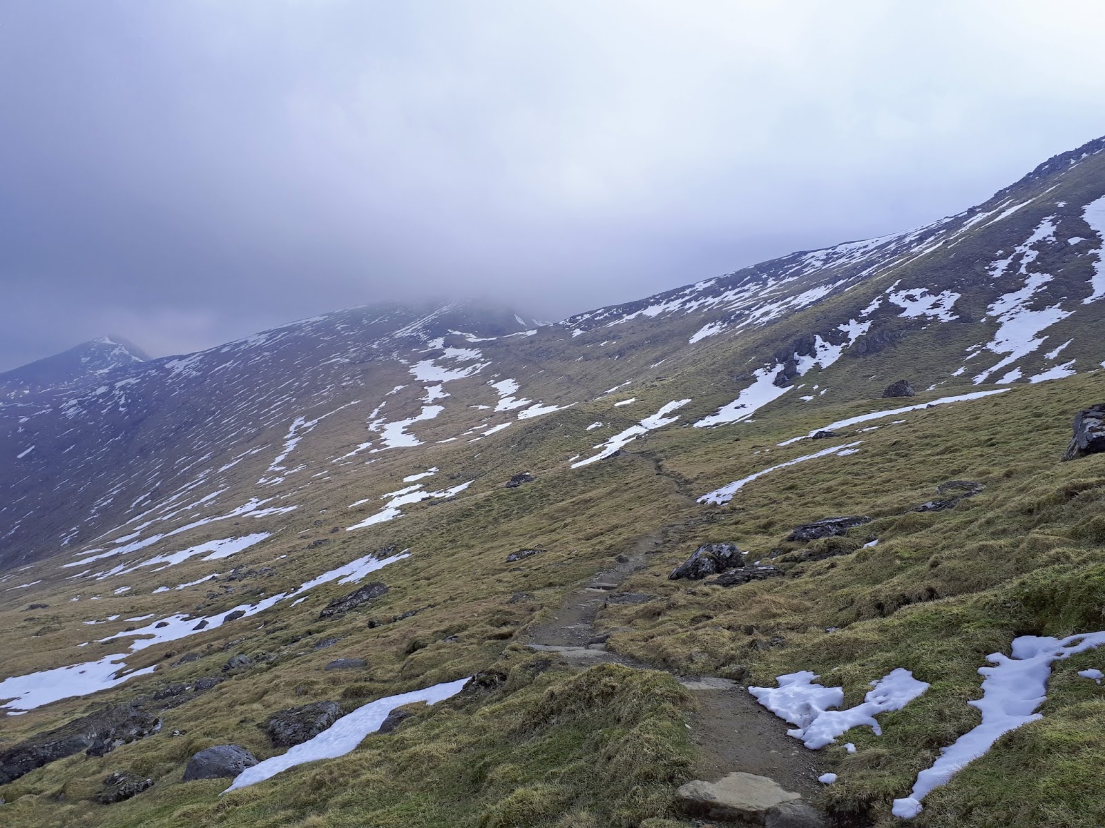
Up the side of the burn following a good track there is a slight respite before heading upwards, very steeply, once more.
Views getting better
At least the views up Loch Hope are interesting but I knew early on my body was telling me something was not right. Not actually telling more like screaming, I did not feel good and have never felt like this on a hill before. I thought my sniffles were early hay fever signs but clearly more severe.
Views improving Loch Hope
Finally the gradient starts to ease but even the banana hit had not done a lot for my energy levels, this was becoming a real effort of mind over matter. The crags high above confirmed there was still some way to go.
Ridge
We reached the wide ridge and I wrongly assumed I would feel better on this easier gradient but reality was even worse. My breathing was laboured and my legs felt like jelly.
The plateau ends abruptly, with the extremely steep and airy north ridge plummeting beyond with great walls of crags on each flank.
It probably didn’t help that the pace was high, despite the other guys stopping a few times to allow me to catch breath. Still my inner determination kept me going and boy was I glad when I reached the summit. 

Busy top
Despite my efforts to hinder the top was now achieved in 1.59hr, very pleased indeed.
The shelter a super place for lunch, rest these knackered legs.

Ben Loyal in distance
The views were grand even if the Orkneys could not be seen. The nearest high points that can be seen are Ben Klibreck and Ben Loyal. The western hills jutted everywhere but the plains also have their own attractiveness. The haze was clearing but slowly, the causeway and the sandy beaches now prominent.
Looking north but no Orkney Islands 
Apart from a pair of ravens the wildlife was non existent which was disappointing. Where are the raptors, the eagles sea and golden a buzzard even? Where are the ouzels, buntings, dotterel etc? maybe due to the number of people regularly on this hill they go elsewhere. That's where walking on your own on smaller more remote hills comes into its own.
Stony descent
As we descended we were passing more ascenders. In Scotland it is joked that at the first burst of sun off come the tops regardless of temperature. Well a well sculptured bearded guy passed us topless, on top of a Munro, not that warm, tough guy obviously playing the stereotype card.
Cars down there somewhere
The descent was certainly more enjoyable particularly as the views were improving as the haze dissipated.
Cold refreshing Scottish water and free
As we descended the cascading Allt a'Mhuiseil provided an opportunity we were delighted to take to fill up on fresh Scottish water after this, for me, strenuous walk on a very warm day.
No doubt my inner system was not functioning correctly call it bio-rhythms or what but that was tough, but enjoyable.
The delightful old world Crask Inn for a cold one, well earned


Wildlife: Raven, meadow pipit,
Time: 4.07
Ascent: 2864ft (935m)
Distance: 4.8m (8.2k)

Saturday, 20 April 2019

Meall Dola, grand views for a moorland runt

Hill: Meall Dola
Category: Sub2k
Height: 323m

There was no doubt that yesterdays struggle on Ben Hope was down to illness and not fitness. When I woke this morning I knew there was no chance of doing today’s double so sadly opted out. Aches and pains aplenty.
After a drive with the good lady in the afternoon I needed to test my fitness before tomorrow and the perfect opportunity lay just across the way. From the back garden of the holiday cottage we are looking across to the Sub2k of Meall Dola. A little runt but it will be pathless moorland, a reasonable test.
These hills were once the provider of peat for the community of Lairg.
I parked up on a grassy knoll just past the farm where the coos were feeding beside the road, at least not on the hill.
Head for the tree easy start
Up a short track then head for the trees where a pair of black grouse emerged, wow, twice in a fortnight. My first swallow of the season was doing its amazing high speed low level flying after it’s insects, a good start.
Typical pathless moor terrain
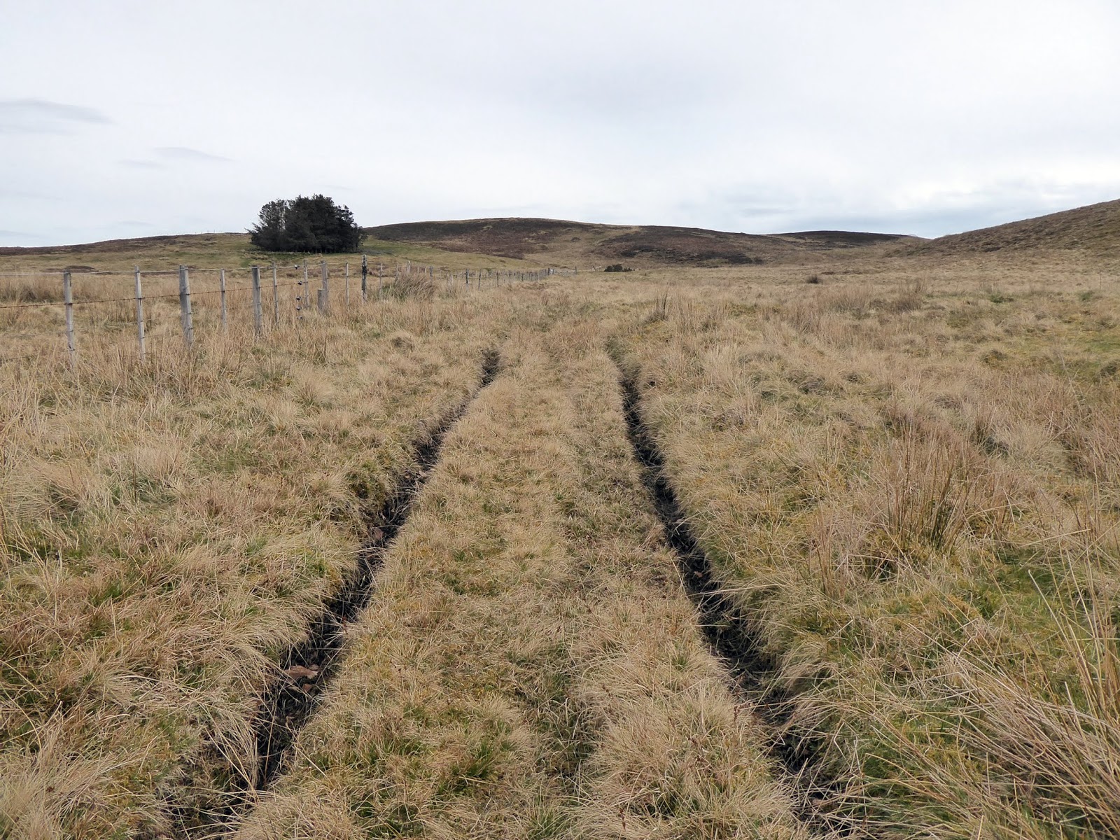
There are no paths but a few small knolls to cross so either follow the fenceline or just pick a line and go across moor. This is mainly what I did, a mixture of both, as the moor ground was surprisingly dry, only the occasional peat bog.
Looking back to the cottage
I looked over and saw the cottage as well as the long distance stuff. This area is full of small holdings and one has a small burning going. Tried phoning missus to see if she could spot my orange jacket but she had no signal.
Meall Dola ahead
When you get to the last knoll that can be seen from the cottage a turn inland is required and Dola is down and up but straight ahead.
Surprised deer
As I cross the last moor and descended into the hollow I disturbed a small herd of 9 red deer hinds. A look then off they ran.
Finally at the top there is at least a couple of stones to mark the spot. However for a wee runt the views of Sutherland from Meall Dola and further are extensive. A proper 360 degree panorama. 
View from top looking NW
Tomorrow’s objective of Ben Klibreck is clear with Ben Hope behind. Today’s miss of Conival and Ben More Assynt are cloud free, curses but happy for those on it. 
Clouds changing
The clouds nearby were changing structure, becoming more defined flying saucer clouds, lenticular clouds, normally a sign of rain or even snow. A weather front is approaching for tomorrow!
A plod back over the moors and I see buzzard, skylark, wheatear and meadow pipit, the benefits of solo walking.
As expected the coos are on the path with youngsters so a short detour makes sense.
Body certainly not as it should be but I will do the Munro tomorrow, kill or cure.

Wildlife: Red deer, Black grouse, Red grouse, Buzzard, Wheatear, Swallow, Meadow pipit, Skylark.
Time: 1.24
Ascent: 209m
Distance: 5k

Monday, 15 April 2019

I can see for miles and miles from Ben Chonzie

Hill: Ben Chonzie (hill of moss)
Category: Munro
Height: 931m


After yesterdays big pull up Ben Lawers I was ready for this ‘easy’ Munro walk as I headed home.
I started my walk from the traditional parking area opposite the old school at Coishavachan up Glen Lednock. Not yet 9am but a few cars parked up, looks like a busy day on the hill.
Start of walk
When through the gate the track turns left and passes the buildings and a small mallard pond before starting the gradual climb.
Dried up hydro mess
When you reach the small dam you can see the impact of even small hydro schemes. The flow of the Invergeldie Burn ends abruptly where it is trapped and a dried up rocky mess is left to what was once a pleasant flowing water way. 
Pretty burn above the dam
Glen Etive beware. 
Looking back great view
Just keep plodding up the estate track, stopping from time to time to pretend you are not tired, just admiring the expanding views behind. At least the birdlife is more varied today.
Go up there if you want, my descent
I ignored the steep track on my left leaving that for my descent. Instead I followed the cut track to a small cairn. From here an easier ascent is made round the back before reaching the broad plateau.
No problems with navigation today as the views are excellent but the winds are even stronger than yesterday and significantly colder. 
Summit over there
To my right the summit is clear but time to get all the warm gear on.
The fence line to follow to the top is a good guide if required.
View over Lawers range
Today on reaching the top this was not a spot to linger even with the very large cairn. No hiding place in this wind. Not sure of the temperature but feels like the wind chill factor will be well below zero. The short grass is already white and frozen. Pity as the views are superb. Plenty of large snow speckled hills in all directions. The only thing limiting the views is how good your eyesight is. Today I can see for miles and miles, fantastic.
Loch Turret
I get a quick snap of Loch Turret before heading back the same way across this broad expanse, taking in the views as best I could. The wind pushing me along.
It's cold up here
I head for the track I omitted on my ascent and enjoy the short descent back to the estate track. Plenty of walkers heading up the hill now, always smug to be descending at this time.
Descent track more great views
Ben Chonzie is an easy hill by Munro standards but if you get clear air like today the views are stunning so give it a go.


Wildlife: Mistle thrush, wheatear, raven, red kite, black grouse, red grouse.
Time: 3.25
Ascent: 2347ft
Distance: 8.18m

The Ben Lawers circuit

Hill: Ben Lawers, Beinn Ghlas
Category: Munro’s
Height: n/a


Yesterday was a bright blue sky day, stunning visibility and perfect for walking. Today was foggy to start with and a cloudy forecast perfect for salmon fishing. So guess which way around my days went, correct, blue skies = nae salmon.
After a too hearty breakfast I was at the walk start early and raring to go. The tops were in cloud but with blue skies around, early hope to fade away sadly wrong.
View from start, blue sky optimism
Only a few cars parked up, a good look at the objective and off I went.
Through the small wood then out onto the open moorland. I wanted a circular walk so took the well worn track heading for the bealach, much easier than ascending the steep, heavy breathing track to Beinn Ghlas, leave that path for the descent.
Track to bealach, blue sky but cold
When I reached the bealach the pair ahead turned left, heading up Meall Corranaich, which gave me a jolt as I had just been following them assuming they were doing the same as me. At the same juncture my rough track curved round the side, boulders and snow en route, slight concern as nobody else here but footprints in the snow. 
Track to meet tourist route, Lawers in cloud
Once round the corner I could clearly see the track heading to the junction at the base of Ben Lawers. 
Towards Glen Lyon
Stunning views down below, the meandering Allt a‘ Chobhair heading down to Glen Lyon? On this hill you can still get remoteness and isolation
By the time I reached the junction with the tourist path, the wind was fierce and other walkers were in sight, no chance of isolation now.
Steep pull ahead
After yesterday's wading in the Tay my calves were protesting so the final steep climb up to the summit was a bit painful and slow. The summit is in and out of cloud, would I get a view, unlikely as no blue skies around.
Weather window on top looking east along the ridge
Reached the summit as a sleet shower briefly hammered in, got a view for thirty seconds then no more. Exactly 2 hours to top, happy with that
It was Baltic, bloody freezing, all layers already on so back down quickly, no place to stop for lunch, not that I needed it after breakfast.
Eroded path the Beinn Ghlas
Now the straight forward tourist trail up to Beinn Ghlas which is much easier this direction. Except for the wind of course.
Chatted to as few passing walkers and before I knew it top number two reached. Cloud cover now above me so good views, albeit hazy. 
I can see you!!
Across the way a group were standing on top of Meall Corranaich.
As I descended these steep slopes why would you want to put the effort in coming up this way, stick to my ascent route folks.
Looking back to Beinn Ghlas
The views still excellent the very pointed  peak of Meall nan Tarmachan really stands out, it looks so far away but really isn't
Before long back at the car, a couple of minutes over two hours, that was fine. A very good walk if a bit cold and windy.
Now for coffee and carrot cake in Pitlochry, got to keep up my reputation of fat but fit.


Wildlife: nil
Time: 4.01
Ascent: 3016ft
Distance: 7.15 

Monday, 8 April 2019

A true Galloway reminder on Shalloch and Tarfessock

Hill: Shalloch on Minnoch, Tarfessock, 
Category: Corbett/Donald
My granny used to say ‘that’s a long way for a shortcut’ and that’s how I felt about today. It was a bit of fun, it was cold and windy, and a find your way home element to finish with a river crossing.
Bells memorial
The proposed three tops route looked like too long a time challenge so I was glad at the start to hear it was not going to include Kirriereoch. Not only because I had 20k and almost 1000m in my legs from yesterday but also it was a grey day with low cloud. And this was not a traditional route from the start.
We were 30 minutes late in starting as one of the group had not arrived but we could wait no longer so off into the grey day we ventured. Phone signal very poor around here. More of the missing person later.
Ruins
Starting from Bells memorial we followed the track from Laglanny and then the burn to the ruins before entering the start of Galloway’s legendary underfoot carpet of wet bog and tussocks, the joys!!
One fire break that did exist
We clambered through a fire break before following the Shalloch Burn to the edge of the forest, with the crags of Rig of the Shalloch on our left. Found a deer track to follow which eased it a bit. I was cursing as I realised my brand new beanie had fallen from my pocket, a gift, not pleased.
Plenty of follow that burn today
At the end of the trees then straight up to point 659 before heading to the Corbett of Shalloch on Minnoch. We were well and truly in the low cloud and the easterly wind was a lot colder than yesterday’s tops.
Suddenly out of the gloom, heading our way, appeared a figure, it was our missing walker. After missing the start point she opted to do a quick up and down of Shalloch from a different location. Quite a chance encounter.
Lunch at Shalloch’s cairn then across the rugged ridge via the Nick of Carclach to the Donald of Tarfessock.
Tarfessock
From here we headed down in the direction of the cars. Great to get out of the clag and start to get some views. Even better to be sheltered from the wind, it was feeling warm.
Spawn
Lots of small pools laden with frogspawn but no frogs spotted today.
Looking south a group could be seen making the descent from Kirriereoch, so not the only people up here today.
Kirriereoch
At the top of our descent ridge we looked over the ground we had to cover. Hearts sank a bit as we could see that the forestry operations had altered the landscape considerably. Indeed the fire breaks we planned to use as per OS maps no longer existed. The GPS mapped route was no good either. The cars looked a long way away. Needless to say the group were not all in agreement re the best way forward, fun times!
We headed to a new forest track and a short walk up it confirmed the fire breaks were no longer there. 
We decided to skirt the edge of the new plantation hoping to find a break in these dense plantations but nope. 
Crossing the Water of Minnoch
Finally we hit a marked track on the map which we could see started taking us away but no choice other than to follow it to it’s end then head for the Water of Minnoch and walk it back up. Thank god for deer tracks which again eased the walking. Of course we were on the wrong side of the Water but by this time it was a case of, I want home, so wading through, wet feet or not.
Of course the clouds are lifting
Finally a walk up the outward track back to the cars where of course we looked to the hills blue skies and clear tops, the joys of hill walking.
A far longer than planned walk but a good example of how the forestry operations can make a big dent in your plans.

Wildlife: Buzzard, Curlew, Raven, Skylark,
Time: 6.37
Ascent: 827m
Distance: 19.6km

Monday, 1 April 2019

Blue skies for the Glen Sherup circuit

Hills: Tarmangie Hill & Innerdownie
Category: Donald x 2
Height: N/a
A cracking walk on a perfect blue sky day with views to fully appreciate this great landscape. It does not get much better than this for a walk in late March.
Just a few of the geese
A good start was a red squirrel in the trees beside the car park and a huge skein of geese flew over heading north, too warm for them, spring is here.
Nice wee brig along the burn
Rather than follow the woodland start as suggested in most descriptions we walked along the burn before taking a gradual walk up the dry grassy track to meet the original track at the junction with the forest. A good decision as we were in the sun much quicker. So warm that gear was discarded before the climb.
Fife hills and Loch Leven in distance
Already good views, looking back I can see West & East Lomond peeking through the gap.
Superb rolling hills with great views if you ignore the turbines. 
Innerdownie peaking out
Another straightforward uphill ascent and our first summit is reached, Innerdownie. A cooler breeze here so down a slope for elevenses.
North from Innerdownie
The views are outstanding with stacks of white flecked tops as we look north. Some debate re which hills but the Lawers range definitely, Drumochter Hills probably Cairngorms just and many more to argue over. What a cracking viewpoint with conditions allowing you to relax and take it in.
Track to Tarmangie
No navigation problems today as we head straight for Whitewhisp Hill before a 90 degree turn to Tarmangie where the top according to the GPS is the small cairn nearer the fence!! The larger cairn does have the slightly better views.
As expected, on a super day like this, we are not alone, stick figures can be seen on most of the distant and close Ochil tops.
Now the high level return/descent above Glen Sherup.
Ben Shee & Glensherup reservoir
A debate, go up Ben Shee or not, of course we had to. A short steep 100m ascent. Glad we did.
Reservoirs everywhere in this area, from up here we see Lower & Upper Glendevon on our right, I remember a not so fruitful day catching nothing down there. Glensherup down below on our left. A few boats out fishing and a rise in progress as ripples appear all across the water. A good day for fishing for the trout.
Dam
The final descent route twists back round to the dam of Glensherup reservoir before a forest track walk back to the car park.
A super day out in good company with fantastic views, everything a good walk should be. 

Wildlife: Red squirrel, buzzard, magpie, skylark
Time: 5.32
Ascent: 703m
Distance: 16.4km