Showing posts with label Donald category. Show all posts

Sunday, 18 April 2021

Freedom at last.....Curlywee a fitting walk om a grand day

Hill: Curlywee (Hill of the Eagle)

Type: Donald

Height: 674m

Scotland's day of freedom when our second lockdown was eased to allow travel out with our local authority areas. An hours drive into the heart of Dumfries & Galloway seemed appropriate to bag a new Donald hill. An added bonus, Curlywee is rated as one of the finest hills in the Southern Uplands.

The Merrick start but we went right
A beautiful blue sky morning deserved an early start and apart from one idiot who decided to corner on my side of the road, I thought I was in serious trouble, the drive was a joy. 

Willow Warbler
Even better when I arrived at my parking area to see a red squirrel run across the road and up a tree, my first of the year so a good start, too quick to snap but this wee beauty was close by, my first willow warbler & chiffchaff of the year.

Loch Trool, we are heading for the lump in the middle
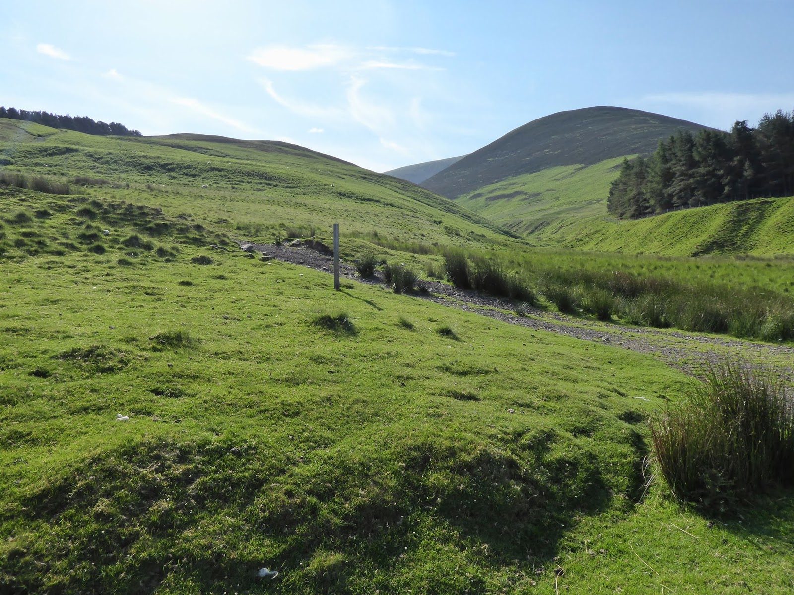
There are various ways to do this hill but I was not combining it with anything else. So a 90 minute trek along the hardpacked section of the Southern Upland Way took us to the White Laggan bothy. 

Sustrans sign at beautiful Loch Dee
Not all hardship as the views across Loch Doon are spectacular, it is a beautiful loch. I reminisced about a fishing trip. This loch is reputed to hold huge brown trout. We saw or touched nothing all day. When we were packing up the car we heard a loud splash. Looking back no fish but big ripples, a huge brownie giving us the finger lol.

White Laggan bothy ahead with Curlywee distinctive cone peaking top right
Like all mountain bothies these are currently closed as Covid idiots have trashed a few so everyone suffers. Not sure what these 3 wooden structures nearby represent, if anything.

My original plan was to walk from the bothy along a old marked trail contouring Curlywee until I was at a direct line between Bennan Hill and then taking me up to the Nick of Curlywee. But as we nourished, looked at the hill and examined the map, the direct attack up the slope beside the fissure looked a straightforward option, so plan changed.

Steep climb from the bothy
Now 150m of direct ascent took us to the ridge where the contours eased. In a few months this would be more difficult as all the dead fern foliage would have regenerated and hidden the many holes.

White Hill the point just behind
Once on the ridge we had a view of Curlywee's top and breath in, it does not look too far away. Another 200m of ascent but across a gentler gradient. 

The terrain of the middle section is truest D & G tussocks, really rough. Ankle breaker hidden holes as you dodge the tussocks.

The final section is much better, harder ground, shorter grass and with relief the top is reached. And the views do not disappoint. This is a wild and very rugged landscape with its features hidden among the parched camouflaged landscape. But blue water lochs break the parched brown land. 

Rugged terrain or what. Craiglee front, Craignaw right and Mullwharchar middle rear
Hills are evident as looking north the Merrick, Craignaw & Mullwharchar stand out. Corserine and Cairnsmore of Dee. Lamachan and Larg nearby. Along with views to the Solway and back to the parking area, not a bad spot at all to enjoy freedom.

The return was by the same route. The descent via White Hill was considered but it is much rougher terrain and steeper. Now we have freedom not the time for injuries.

Typical deforestation
Since I was last here to walk Craiglee there has been significant deforestation taking away from the feel of the place.

Still that's another Donald ticked and a fulfilling walk for our day of freedom.

Ascent: 921m

Distance: 17.9km

Time: 5.49

Wildlife: Red Squirrel (1st of year); Peregrine; Raven; Chaffinch; Chiffchaff ( 1st of the year); Meadow Pipit; Pied Wagtail; Chaffinch;

Thursday, 25 March 2021

Building fitness in Glen Afton.....Blackcraig circuit

Hill: Blackcraig & Blacklorg

Type: Graham & Donald

Another outing towards building up my hillwalking fitness with a return to the 4 hill circuit above Glen Afton. The weather forecast was generally positive for views and that turned out to be the case. There are previous reports of the route elsewhere in my blog and in fairness the route does not change much. So, this is mainly snaps with a couple of comments on changes I did find.

Looking back to start from Quentin

Some snow patches on flank of Blackcraig
The constructed track from start up to Quentin cairn has been improved since my last visit. Then it went roughly half way up before becoming a boggy path but now it goes all the way to the cairn before becoming a boggy path. Linked to the every expanding wind farm I suspect.

Blackcraig Trig

Blacklorg on left, Alhang middle and Windy on right

A furry caterpillar out early

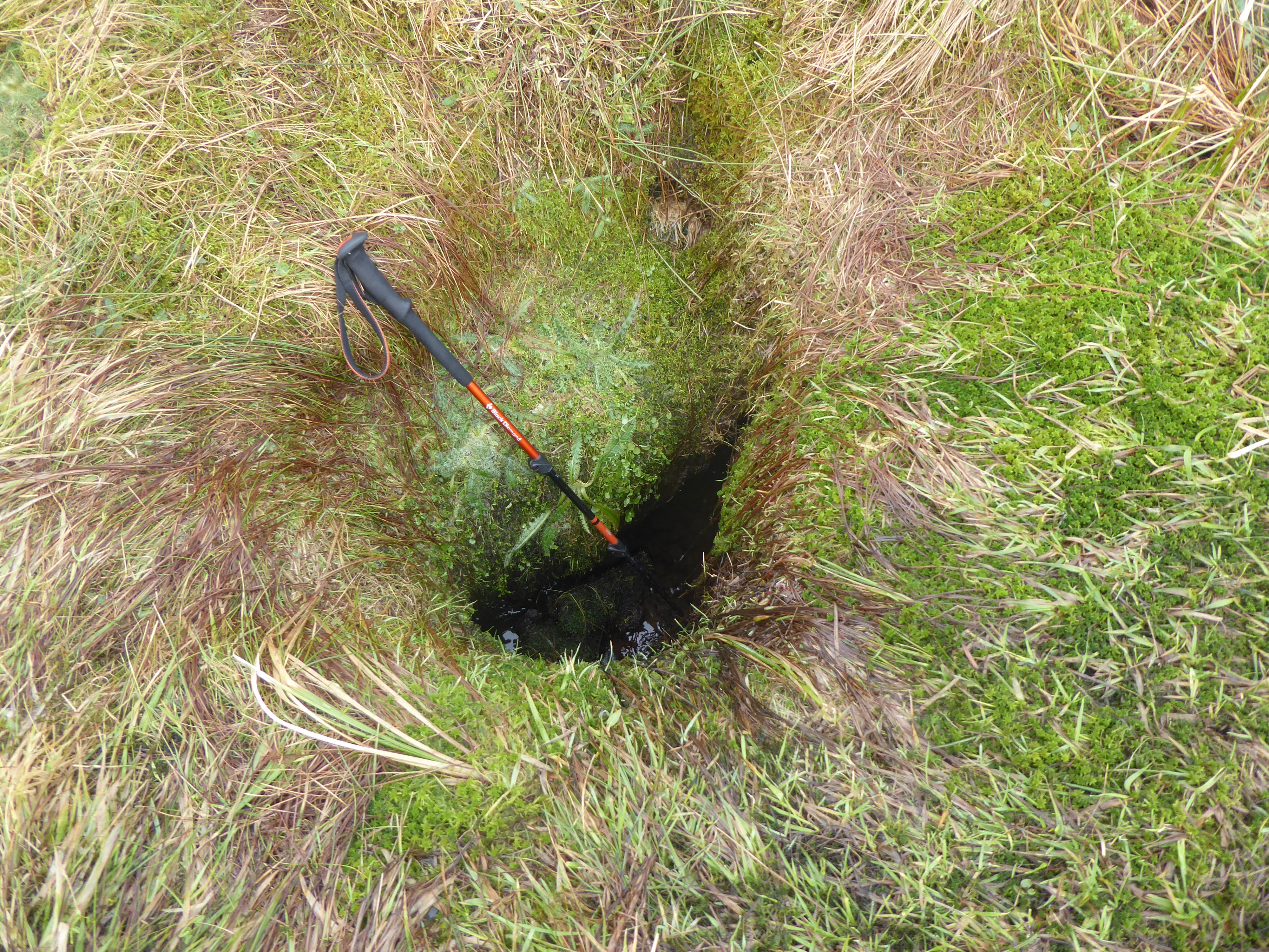
On the descent from Blacklorg two deep sink holes have appeared that I do not remember from before. There was running water which I presume to be an underground burn. Both holes are right beside the track easily catching out an unwary walker. Imagine this hidden with the recent snow covering, could be very nasty.

Spooky turbines


Mass turbines on Windy

A new sinkhole interesting if snow covered

Sun coming out at last

Snow to play on
It was a good up and down rolling hills walk, damp underfoot but when is it not on these hills? Sadly the number of wind turbines appears to have increased now almost circling these hills. Some areas have surely contributed more than their share and i feel this area is one. 


Final descent to the track

Preggie Coo dropping soon

Looking back to final hill from the car
It has been a good walking week with circa 1800m of ascent and feeling good. Hill fitness moving forward.

Ascent: 785

Distance: 13.5

Time: 5.2

Wildlife: Rook; Raven; Skylark; very fat hairy caterpillar.

Friday, 3 July 2020

Last of my Culter Donalds, Chapelgill Hill, with Culter Fell thrown in for exercise

Hill: Chapelgill Hill & Culter Fell
Category: Donald & Graham/Donald
Height: 696m & 748m

A quick return to Culter Allers Farm to complete my Donalds in this range.
Parked up at the same slot for my Hudderstone route but heading the other side, I hope the crowds mentioned in that blog not around today.
There are two options to climb Chapelgill and initially I was going to come up via Glenkirk on the other side. But I had used this on my first climb of Culter Fell so opted for a totally new experience.
Once again I started from Culter Allers Farm, this time the only car in the parking space. I was early but wanted to avoid the predicted very hot temperatures later on.
Up this track, Culter Fell on right.
Going past the large farmhouse there was more farming activity, dogs barking but never seen them.
A short walk up the reservoir road before heading upwards along the flanks of the tree line. A short steep section had me blowing away, don't seem to be getting much fitter! The patchwork heather flanks of Culter Fell in view but I would not see my objective for some time.
Follow the ATV track round and up to the fence-lines meet. 
Follow fence to the top of grouse moor
There is a slightly shorter track across the heather but I was in no rush. Although managed for the red grouse I did not see or hear any today.
Another fence to follow again Culter Fell ahead
Another short but steep section over Tippet Knowe before reaching the peat hags. I walked round these to the fence and then followed it up and over Kingsbank Head. There are a lot of peat hags which could be very muddy walking under other weather circumstances. But today I jumped about like a young lamb and missed most of them.
over the moor and hags, first views of Chapelgill ahead
You can also take in the Donald top of Cardon Hill but I sloped round with the ATV track and headed up the ridge to Chapelgill Hill and its two small cairns, one on each side of the fence. Curlews calling and diving must be nests close by. As predicted the wind had really picked up so light jacket thrown on.
Chapelgill cairn looking to the Pentlands
The views were excellent particularly looking east to the Pentland Hills and back to Tinto as well as the local Culters.
Gathersnow behind Culter
It took just 90 minutes walking to the top so after an energy boost from a banana I reversed my route back through the hags and decided to throw in Culter Fell which is the highest point of the Culter hills.
Loved the sky trails above Culter Fell
Stayed this side of the fence, an easy walk to the trig, with a few pauses to take in the views of course.
As befits the highest hill in the range the views continued to impress and you can see the four other Culter Donalds as well as the three Donald tops from here. The masts on the Corbett Broad Law can just be seen through the heat haze.
Culter Fell trig looking to Chapelgill & Pentland hills
A delightful stroll back down taking in the spectacular green rolling hills and all the lumps and bumps around. It was really hot now so glad I was not going up.
The sky had been amazing today, constantly changing and the westward clouds bubbling up. Driving home I soon entered solid cloud, turn around please!
The only noises for the majority of the walk were the birdsong and the sheep, nature at its best, peaceful and relaxing.
Descent with Tinto beyond
Some movement made me look over to my left and I could see three different groups slowing heading up the steep slopes of the Fell Shin track heading to Culter Fell.
Back trough the trees and around a dozen cars parked up so still popular but I avoided everyone yet again.
Back at the car and it was so warm my chocolate bar had melted in its wrapper in the rucksack. That was the only bad point about this excellent walk on a beautiful summers day like this.

PS: If this is too easy you could always try running it!! Chapelgill Hill Race, took place on 14Mar this year.
‘The route must pack in the most amount of climbing for any race so short. A relentlessly steep climb followed immediately by a thigh-burning descent’. Winning time 23.08minutes. Wow.

Wildlife: Kestrel; Buzzard; Raven; Meadow Pipit; Skylark; Curlew; Oystercatcher.
Time: 3.44
Ascent: 774m
Distance: 13.1k

Friday, 25 October 2019

Larg Hill a wet and woddy obstacle course

Hill: Larg Hill
Category: Donald
Height: 676m
The year is definitely moving towards its conclusion. It was still darkness when the first alarm, wrist watch on vibration, woke me but no problem straight out of bed. Looking forward to a new hill with new walkers, happy times. Plus remembered to switch off the other one or the good lady would not be happy.
We started from the signed bird watching/nature trail into Cree Woods, a Jay flew into the trees, a good start.

Surprised to see smoke coming out of a cottage in the middle of nowhere on a narrow muddy boggy track. A brief chat with the man renovating it before heading onwards into the woods.
Looks grassy but very muddy hills ahead
Out of the woods onto an open area, that means deforested landscape and followed a track until we reached a dead end.
Track ends abruptly
We had hoped for a firebreak, must have missed it, but nope into the darkness. Actually it was multi shades of green, grass, moss you name it even green trees. 
Climbing time

Fallen trees to negotiate but all part of the fun. The root areas were deep gloop holes so going around not an option.
Finally out of the plantation and we were now on the slopes of Black Gairy Hill and it was taps off, really warm, but that was soon to change. 
Punch Well Brae and Larg Hill, cloud descending
The grassy tussocky moor terrain up to Punch Well Brae and then just keep walking upwards until you reach the junction of two stone walls. The main stone dyke could be used if weather poor.
The clouds had descended, cold and drizzly, taps back on.
Larg hill cairn
 We were slightly too far but could see a cairn which of course as we approached we could see another bigger one in the gloom, this was the summit of Larg Hill.
We intended to return via Craignaw but dropped too low and were too lazy to go back up it.
We went into the plantation just here the Hags await
We could see a fire break and a dyke which surely would take us back to the outbound track, a BIG mistake. It did but not the way we would have liked.
Typical dyke abandoned and going nowhere
There are huge amounts of stone wall dykes around, clearly in the past the land owners had plenty of cash to spare and men to do the building.
The odd area good walking but short sections few and far between
Our descent route took us through a forest area called the Hags of Borgan. The name doesn’t sound complimentary and of course it wasn’t. There is no doubt that this was the longest, wettest, muddiest bogfest I have walked through. You just had to laugh and lots of black humour. The moss was just a cover hiding a mud filled wet hole up to the calves at least. And the smell it released, wow.
We followed the burn most of the way
It was with some relief when we finally reached the track but we still had another hours walking to get back to the cars. It felt a long way.
Overall it was still a good day out, met some lovely people and bagged a new hill, success.
Now for that cold beer, this one has been earned.


Wildlife: Raven; Snipe; Buzzard; Jay; Red deer
Time: 5.57
Ascent: 713m
Distance: 20.2km

Monday, 26 August 2019

An impressive White Coomb circuit

Hill: White Coomb; Lochcraig Head, Molls Cleugh Dodd
Category: Corbett/Donald x3 (WC counts as both)
Height: 751m ascent?

An early morning start with a B & B brekkie in the tummy. A few overnight campervans but obviously too early for other walkers, a huge contrast with my return to the parking area.
Grey Mares Tail
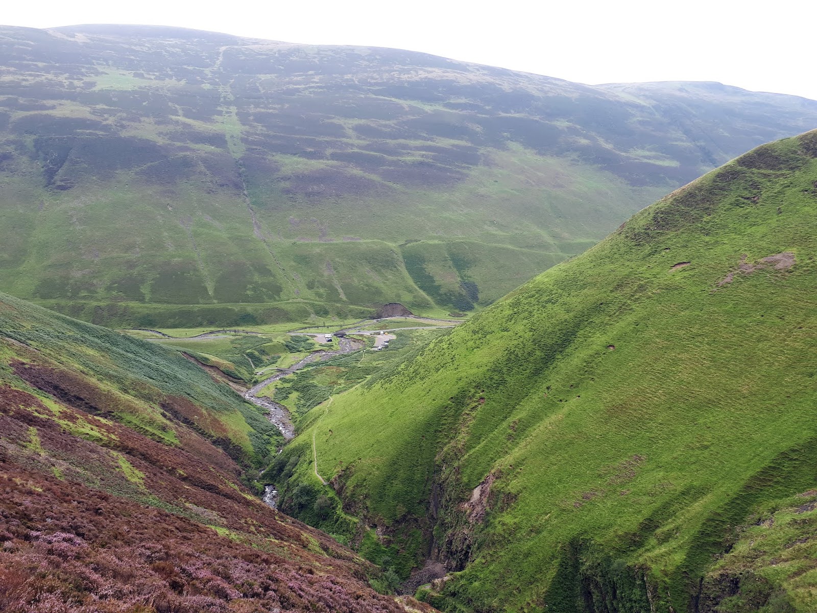
With the recent rains the falls of The Grey Mare’s Tail were in full flow, a superb sight and sound as huge amounts of water crash down. They are rightly in the top ten waterfalls to visit in Scotland. A good excuse to stop and take a breather and take it all in, excellent views back down the ravine. You can appreciate how there have been fatalities here particularly in winter. A peregrine flies over so fast it soon disappears out of sight as it goes after unseen prey.
Tail burn looks ok from here but not when close up
As I amble alongside the Tail burn I am looking for opportunities to cross on my way back. Not surprisingly the water is high and fast, few stone jumping opportunities, I mark one spot.
Loch Skeen with Lochcraig Hill on right
A couple are wild swimming in Loch Skeen, far too cold for me to try that but they say it is good for you. Lochcraig Head’s crags look mighty impressive and steep, from here.
I should have left this boggy track earlier and cut across to the dyke. As it was I had a long arduous plod through deep heather, peat hags and moss water traps all with clegs buzzing around my face. How I was not bitten today I do not know, they have liked me well enough in the past.
I finally reach the dyke and follow the worn wet path slowly up the hill. Legs are feeling tired today and it is harder going but I have had 4 big walks this week, must getting too old for this.
A pair of kestrels appear, twisting and turning with each other before static hovering, eyes on the ground, but no luck, away they spin. Not sure how large their territory is but conceivably the same pair as yesterday at Whitehope Heights.
Loch from Lochcraig Hill, White Coomb on right
Finally I reach the flat plain and go to the large cairn overlooking the loch, a nice but hazy view. The true summit is over the other side of the dyke, not photogenic.
I thought I was going to get a breather but nope a descent into Talla Nick and backup the other side. It was boggy down there, I tried walking the dyke but too dangerous, stuck to the mud.
More raptor diversions to take a breather. There were more wheatears in these hills over the last two days than I can remember seeing. Every few steps birds flew out of the stones. A sparrow hawk was well aware of this and patrolled up and down the dyke. Most birds were out and back in again before the hawk could strike, I am sure it has its turn. I wonder if the wheatears are migrating from the north and stopping here in the good weather? 
Molls Cleugh Dodd, small cairn straight ahead on horizon
At the top I knew there was an optional diversion to take in the Donald Molls Cleugh Dodd. Looking at the map last night that I saw that it was a fairly level walk so despite the protesting legs I took it in. Another case of a larger cairn and a smaller one. Take them both in again just in case. Nice views of many rolling hills.
Now high level grassy walk to White Coomb
Thirty minutes later back on track and I could see White Coomb over to my right, no more big drops just a solid slowly ascending high walk, following the fence line. Taking it easy and enjoying the views.
Before long I was following a track that moved away from the fence. I was just strolling along before instinct said this was not right. A quick check and now a drudge over the moor to a stile in the fence. It was surprising how much more effort was required in the longer grass.
White Coomb cairn
Over the stile and almost immediately there is the top of White Coomb. A good all round short view, too much haze to see far into the distance, that has not been much of an obstacle this year. Clegs are still buzzing around I wish I had one of those bush hats with the dangly bits.
Follow the dyke back to the Tail burn
I followed the obvious track down, sometimes very steeply. I knew from my earlier look at the burn there was no point in following the dyke to the normal crossing spot. From up here the track to the loch was mobbed, had a coach load of ramblers arrived for a day out? 
Once down a good bit I left the track and took a line through the heather and moss heading towards the mouth of the loch. There are fords marked on the map but none were crossable today. A couple of maybe attempts but the wet rocks were so slippery that I could not get a grip for the final jump. An audience was now gathering on the other side, I was today’s entertainment!!
Finally one a few spots where dry tips of rocks protruded, walking poles a must for balance for the final leap, made it. 
Looked at my watch exactly 4 hours, wow after the initial struggles I made very good time considering I also took the detour.
Looking down to the car park
It was very warm so now I took my time amidst the tourists back down the trail to the car park. 
At the bottom I put my cap in the burn and poured the cold water over my head. Relief and the highlight of the walk.
A very enjoyable walk and glad I did it early in the day.

Wildlife: Scotch Argus; Peacock butterfly; Burnett moth; Peregrine; Kestrel; Sparrowhawk; Meadow pipit; Wheatear
Time: 4.38
Ascent: 835m
Distance: 15.1km

Sunday, 18 August 2019

A stunning horseshoe circuit, Hart Fell.

Hill: Hart Fell, Swatte Fell, Under Saddle Yoke.
Category: Corbett/Donald x2
Height: n/a
Weather forecast suggested this area might be the best place in Scotland to avoid torrential rain and thunderstorms, would it be accurate.
Well, that was one cracking walk but what a toughie, particularly the initial climb to Swatte Fell. 
Start ascend the left side Hang Gill gulley
We decided to walk anti clockwise to head up the side of the ravine. Boy did that get the heart rate up. I foolishly decided to leave my walking polls in the car as not been using them much recently. But this was definitely a slope for them. Walkhighlands says ‘from here the next stage of the ascent becomes extremely steep‘ no exaggeration!! The bracken was fairly high but the main challenge was wet slippery morning dew grass on very steep gradients meant I was grabbing all sorts to haul myself up, including the fence wire, wow what a start. Heart racing, jelly legs and we have a long way to go.
Sun briefly shines down below on Black Hope burn
The views were superb particularly when the sun briefly illuminated the slightly grey skies.
Black Craig, don't step back 350m straight down
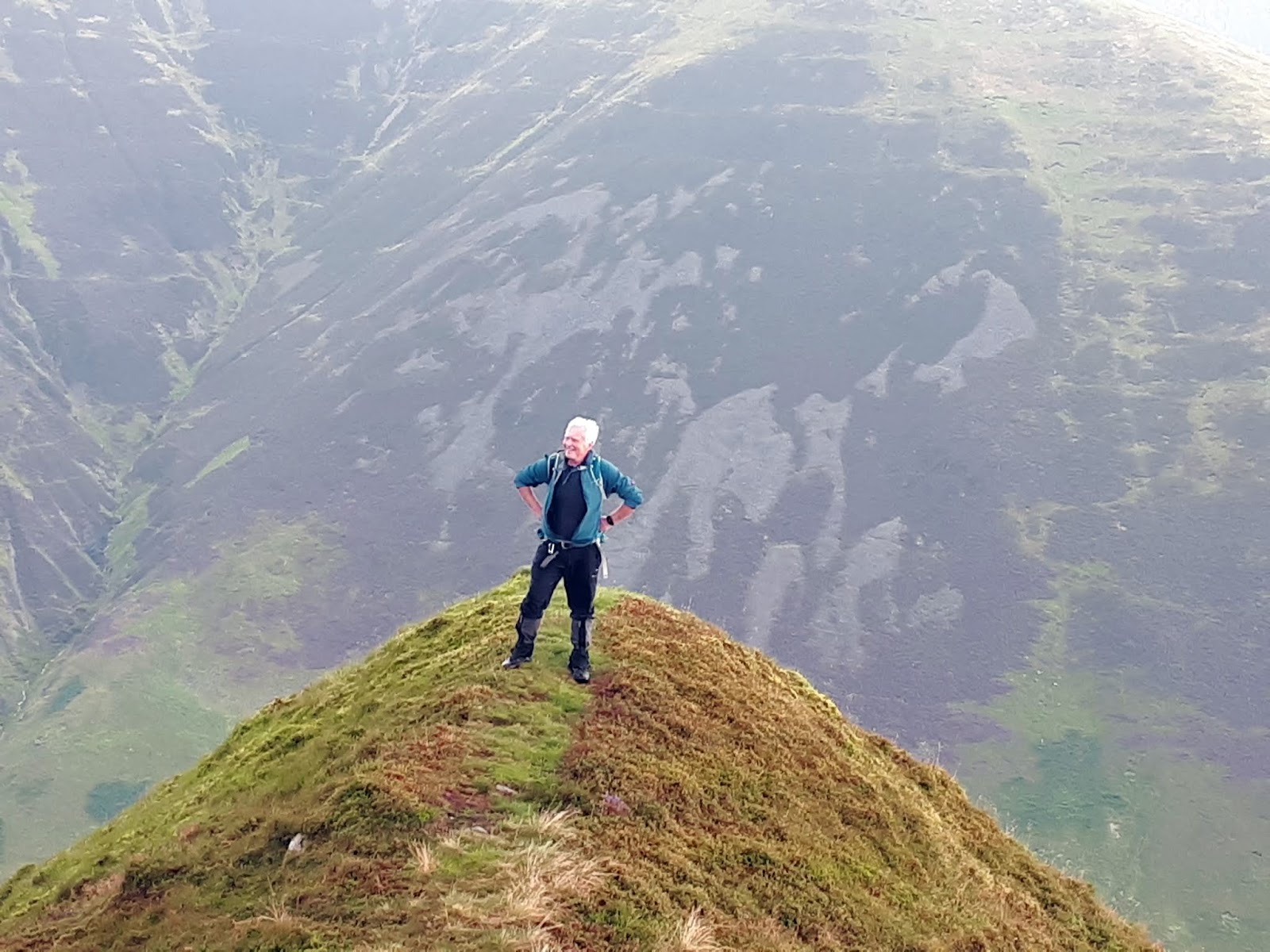
 There is a brief reprieve as we follow the fence before there is an unrelenting climb towards Black Craig. A pair of red kites glide past. Big drops down to the right with excellent views across the glen to our descent and final hill Under Saddle Yoke.
Another brief respite as the terrain flattens going past the small cairn, thought at first this was the Donald top but no, slightly higher ground ahead, a fence, the top, Swatte Fell seems to be unmarked but GPS said we were there, did we miss something? An unrelenting ascent, no doubt.
Upper Coomb Craig with Upper Saddle yoke behind
We headed along the wet ground to Falcon Craig. I assume there are falcons but none spotted. Down to the col at Hass o' the Red Roads, I love the border names on the hills around here and across Galloway.
Falcon Craig
Once again the world goes upwards, another steep climb before flattening out and I was delighted and relieved to recognise the trig of the Corbett Hart Fell. I needed my lunch. Last time I was here I came up the other side via Arthurs Seat, not the famous one.
Cool spot for lunch Hart Fell trig
No rain for us so far but we could see showers around as we took in the excellent all round views. Lunch was relatively brief as the wind went through the gears to very strong and it was decidedly cooler.
Picturesque rolling border hills
As always in the border hills you tend to follow the fenceline as we did for a while before descending through the now pathless grassy slopes and peat hags.
Upper Saddle Yoke ahead
The final Donald can be seen but there is an unwelcome descent through plenty of rough, tussocky, boggy ground in between. 
Descent from Hart Fell
The ascent to Under Saddle Yoke is a plod through mostly pathless ground, follow the sheep trails when you can, just keep heading up. Take a breather and look back and down to the glen, the views are excellent. A fence needs to be negotiated, it is electrified but wasn’t on, if it was there is a stile to assist. Another short climb beckons, the last, not quite!
Twin tops Under and Saddle Yoke
From the top of Under Saddle Yoke there is one more descent and re-ascent along an excellent narrow, arete-like grassy ridge leading to the summit of Saddle Yoke. As Walkhighlands says ‘This fine ridge is quite unlike most hillwalking in the south of Scotland‘.
Narrow ridge
It is a good place to spend a few minutes taking in the views as you get a panoramic view of almost all of today’s circuit. It looks pretty dammed fine from here. The Jelly Babies very welcome as well.
The winds halted our fun, once again very strong and gusty, time to make the excellent looking descent. I would not want to be on exposed places in these gusts.
Fine descent ridge
Followed the track, grass not wet but smooth and shiny so a few heel slips occurred, care was needed, no accidents now please, almost home.
Our cars can now be seen and we veer off the track to the right through more slippery grass to meet the barbed wire fence, no stile this time and then the track back to the cars. Stop here and look back up the glen, it is a superb view.
A tough walk done at a fast pace. Good company and great views. No rain what's not to like.

Wildlife: Red Kite, Buzzard, Meadow Pipit, Carrion Crow.
Time: 4.26
Ascent: 3126ft 
Distance: 8.49m