Thursday, 25 March 2021

Building fitness in Glen Afton.....Blackcraig circuit

Hill: Blackcraig & Blacklorg

Type: Graham & Donald

Another outing towards building up my hillwalking fitness with a return to the 4 hill circuit above Glen Afton. The weather forecast was generally positive for views and that turned out to be the case. There are previous reports of the route elsewhere in my blog and in fairness the route does not change much. So, this is mainly snaps with a couple of comments on changes I did find.

Looking back to start from Quentin

Some snow patches on flank of Blackcraig
The constructed track from start up to Quentin cairn has been improved since my last visit. Then it went roughly half way up before becoming a boggy path but now it goes all the way to the cairn before becoming a boggy path. Linked to the every expanding wind farm I suspect.

Blackcraig Trig

Blacklorg on left, Alhang middle and Windy on right

A furry caterpillar out early

On the descent from Blacklorg two deep sink holes have appeared that I do not remember from before. There was running water which I presume to be an underground burn. Both holes are right beside the track easily catching out an unwary walker. Imagine this hidden with the recent snow covering, could be very nasty.

Spooky turbines


Mass turbines on Windy

A new sinkhole interesting if snow covered

Sun coming out at last

Snow to play on
It was a good up and down rolling hills walk, damp underfoot but when is it not on these hills? Sadly the number of wind turbines appears to have increased now almost circling these hills. Some areas have surely contributed more than their share and i feel this area is one. 


Final descent to the track

Preggie Coo dropping soon

Looking back to final hill from the car
It has been a good walking week with circa 1800m of ascent and feeling good. Hill fitness moving forward.

Ascent: 785

Distance: 13.5

Time: 5.2

Wildlife: Rook; Raven; Skylark; very fat hairy caterpillar.

Saturday, 20 March 2021

Another return to Shalloch on Minnoch

Hill: Shalloch on Minnoch (Middle Heel)

Type: Corbett

Height: 775m

Ascent: 561m

Another repeat hill before getting free to explore wider Scotland. Previous blogs on here so minimum words just some snaps.


It was a nice surprise to see a newly constructed bridge over the burn. it is wedged into an steep angled rock so easier today to cross as normal but useful for higher water conditions.

It is always wet and boggy at the start


It takes two!
There were numerous 'rana temporia ' around today, Impressed with my Latin? Nope didn't think so Common Frog to us. Particularly near the small lochan at the start of the final climb to Shalloch. Multiple colourings had to take great care not to stand on them. 

The top in view still some small snow patches


The clouds were coming and going but lifted for the trig view.


View East


South ridge Lake District far away but in view

Still a small but lengthy cornice at the top of the Maidens Bed. Looked pretty but quite unstable with the melting weather so no walking on it.

Descent with frog lochan


Distance: 12.7km

Time: 4.22

Wildlife: Common Frog; Skylark; Meadow Pipit; Raven


Tuesday, 23 February 2021

Finally views from Haggis Hill

Hill: Haggis Hill circuit including Craigenreoch

Type: Sub2k

Height: 565m

The forecast was excellent so the day to finally see the views from Haggis Hill circuit. However, as I approached Stinchar Bridge, once again the clouds were enveloping the big hills, surely not?

I met Dick at the small parking area at the high point of Nick of the Balloch where we looked at the clouds but optimistically agreed it would lift. Our only concern was whether we would be able to cross the burn after the descent from Haggis Hill near the end of the walk. But we will only find out when we get there.

Clouds over the Galloway hills
I have not added much commentary on this blog as it is a repeat of Decembers outing, the snaps will tell their own story.

ATV track
One change at the start was following the ATV track up the hill rather than the direct grassy slopes.

Now off the ATV track and a view of Rowantree and the upland moor

Craigenreoch from Rowantree. Good but sodden track at times

Dick on Craigenreoch

View south from Pinbreck Hiil, twin volcanic plugs just visible

Looking across to Changue & Haggis Hill

New lochan on Changue since my last visit

Haggis Hill stone

Dramatic landscape at the base of Glengap and a fordable burn

Contouring Glengap through the Nick of the Balloch

Beautiful finish with snow on the flanks of Black Gairy (Merrick)
On the final section we kept to the higher ground contouring with the slopes. More awkward walking, as my hip was telling me, but better than the road walk. Next time I think I will ascend Glengap after crossing the burn and take the ridge back to Rowantree. I suspect the views will be pretty good.

A cold wind but mainly crisp blue skies. Excellent views all round. A super walk and a good blether with Dick, excellent company as always. 

Ascent: 483m

Distance: 9.5km

Time: 4.09

Wildlife: Raven; Skylark; Red Grouse; Buzzard and plenty of fat sheep ready to lamb.

Tuesday, 2 February 2021

A fine day for a recce at Loch Doon

Looking forward to getting out of this draining lockdown with one of my key objectives for the year is my completion of the Donalds. The most awkward one left is undoubtedly Mulwharchar. There are a number of potential routes that I have researched, none of them looking great and a involving a long day whatever route.

I had been chatting to local worthies on my ramblings around Loch Doon learning from there experiences. The route from Glen Trool is clearly a long slog over rough ground and I am told to avoid unless there is a car at each end when it could be a memorable outing. Another route leaves from Forest drive or near Loch Riecawr the map suggests a lot of rough ground.

The Rhins looking cold up there
With my desktop research my and walking knowledge my preference, which thankfully was backed up by the locals feedback, was to head down from the southernmost point of Loch Doon to cross the small bridge marked on the OS map SE of Hoodens Hill.

So, the recce today was to find out if the bridge still existed and assess the ground from the bridge to Hoodens Hill.

No gritters out today but survived the icy drive along to the castle parking area where with relief my walk started. A crisp clear morning with low cloud hovering over the tops of Coran of Portmark and Meaul. No cars parked today but no doubt it will be full on my return. I had debated parking further on but it would only have saved 5 minutes as the barrier was closed before Forest drive.

Gala Lane just before it enters Loch Doon
A straightforward route admiring the renovation of Starr cottage, part of it looks like a bunkhouse so wondered if it is now a hostel of sorts? 

There is plenty of deforestation around so the track is in good condition. Briefly took the wrong turn at the junction, map out, turned back and now can't go wrong!

Take some trees away and the wind blows the front line down

A mix of open deforested ground, some forests still intact and plenty of trees wind affected and blown over. Hoped for some different bird sightings but it is barren so far.

The cloud was low over over Corserine. The wind was chill enough down here, up there it would be a lot colder, sub zero wind chill I imagine.

First view of The Dungeon Hills, Mulwharchar the peak mid left

Now out of the trees and wandering down the track both Hoodens Hill and Mulwharchar have looked close for a while but seemingly not getting any closer. 

Closer up the new bridge. This area still shows trees on my Harvey map 

Arrived at another junction to find a newly built forestry bridge, definitely a higher standard than the one I was looking for. A check of the map but I suspected that this water is the smaller Kirriereoch burn. Crossed and kept going up the new track to soon find its end, a turning point for the vehicles. 

Ahead the bridge I was looking for

Not all doom and gloom as the good news was the grassy trail heading onwards. And there it was directly ahead, another bridge, more substantial than I thought it would be and over a bigger and wider water. This had to be Gala Lane. A remote but quite stunning spot, no Covid walking hoards here. 

Beautiful remote with the objective ahead


More optimism was that there was a faint track heading off through the rough ground towards Craigmawhannel. No further today but the ridge of Hoodens hill was probably only 15-20 minutes walking away.

Time for lunch and reflection. It was almost 2 hours from the start so four hours to add and still no climbing yet. I reckon that from here to traverse both hills and return to here would be 3-4 hours. So an 8 hour day. However, it could be reduced. If I did it as a solo trip I could cycle to this point probably taking 2-3 hours off so worth thinking about.

The return walk was no hardship particularly once the views of Loch Doon opened up. This is one beautiful spot on a day like this.

Loch Doon ahead

Overall it was a perfect day for a recce and the learning was positive reinforcing my initial thoughts. Roll on when I do it for real.


Thursday, 7 January 2021

As promised a swift return to Craiglee and it didn't disappoint.

Hill: Craiglee (The Grey Crag)

Type: Sub2k

Height: 523m

The forecast was excellent for my swift return to Craiglee. This small hill can be climbed from Loch Finlas or by my choice, from Loch Doon starting at the castle, with it's historical connections to Robert the Bruce. 

View from the start
Once again an icy road driving in but the pink hue on the hills from the morning sun was breathtaking, well worth an early start. Plus met the gritter who was able to go more off road than me so a comfort knowing the road had been gritted.

Two overnight campervans already in the parking area but plenty of parking for us. The parking area was decidedly more slippery than midweek (-6deg from car) and I even considered my mini spikes but too much effort as I assumed they would be quickly off again.

Evident track lower down
About 50m up the track it was still icy but we were utilising the soft snow at the verges. Noticeable that there had been a significant snow melt since midweek. Indeed the track up to the Wee Hill was at times more ice than snow. The descent could be interesting if we returned that way!

Craiglea
It really was a beautiful winters day and now getting views of Craiglee off to our left. It didn't take too long to get the cairn on Wee Hill and take in the superb views. The SMC guide says it is one of the finest viewpoints in Southern Scotland and I would not argue.

From the top we headed NE and I don't think anyone had tramped in my footsteps since midweek so it was an obvious choice to follow them and save energy for the deeper stuff soon to be encountered. 

Deep snow to break a track
The snow levels up here were still the same, no real thaw at this height, some deep stuff to wade through and break a trail but it felt good to be out on a snowy hill on a day like this. Perfect silence which you don't experience too often. Plus feeling fine fitness wise, I reckon I had something just not right over the last month that had me breathing harder on my walks.

As we climbed we ploughed through the drifts. There were quite a few hare tracks but none spotted.

Trig in sight someone's descent track
When we crested the top the trig was in sight but this also brought about a significant temperature change. We clearly had been on the leeward on the ascent. Hat and gloves back on. Still time taken to enjoy the magnificent views. Seen it all before and it never disappoints but on a winters day like this it is extra special.

Winter wonderland
We headed back off the top to find some shelter for lunch and enjoy the vista in comfort.

Loch Doon
A surprisingly swift snowy descent only one really deep snow mishap where we went deep. From here I didn't fancy my original route contouring the hill so chose to go back up the Wee Hill. No hardship as it is a short walk and good to get more effort in the bank.

Looking back to Carsphairn
From the top we took a leisurely descent enjoying the views of the big southern hills. Great care was taken and surprisingly the spikes were not required. We only met one other couple on the hill but the carpark was rammed full, I thought Ayr OIR had changed there day, where were all these people?

A stunning short day out particularly as I love these winter snow conditions. The views were magnificent, fitness was good, bring the rest on.

Ascent: 457m

Distance: 5.7k

Time: 3.44

Wildlife: Red Grouse; Robin; Rook; Wren; Hare & deer tracks.

Saturday, 2 January 2021

New Year Ramble Irvine bay & Shewalton Woods

It was once again a cracking morning. After yesterday's grey dreich gloomy day optimism once more as blue skies dominate bringing a welcome brightness. 

Just beautiful

The local view across to the snow capped hills of Arran, quite magnificent. So disappointed that I cannot get across to walk them but hopefully sooner rather than later.

Frozen course

A local walk today, completed many times but still enjoyable. I took a circular route walking over Western Gailes golf course before joining the coastal path route behind the dunes. The course was frozen and not unsurprisingly no golfers around, maybe later in the day.

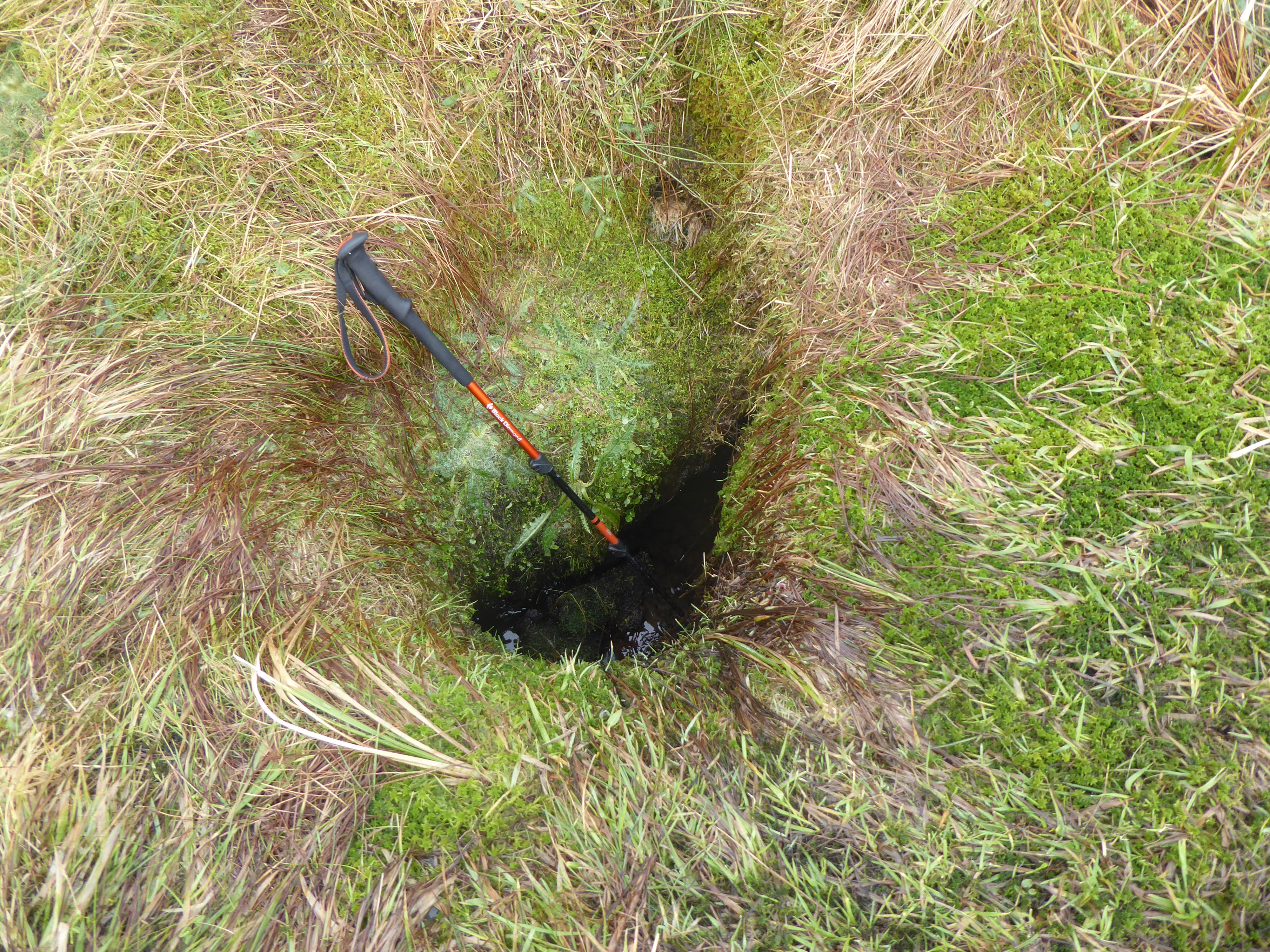
Definitely don't hit your ball in there, that's a gonner

Too many tourist walkers on the beach itself so happy to ramble along behind the scenes. A short hike up to the dragon then over to Irvine Harbour.

Irvine harbour and the Big Idea building in front of Arran

There is still talk of regeneration and reopening the bridge to the Big Idea building. Been a lot of talk over the years but little action, time will tell.

MV Garnock

It is difficult to conceive that on days way back this was the 3rd most important harbour in Scotland. The harbour tug MV Garnock has still not been moved out of the water. I believe there is a funding drive to get the cash to repair it.

Do you know what they all mean?

Into Irvine itself, always stop and smile at the Scots patter under the railway bridge. Surprised to find M&S was open, so bought some fruit to keep me going on my walk as well as my dinner tonight, no slaving over a hot stove.

Finally over the bypass to circle Shewalton pit before walking through Shewalton woods and home.

Iced Shewalton pit

The pit was iced over for about 2/3rds of its area. There was a single swan which looked stuck but probably wasn't. There was another pair trying to break the ice to get to the individual. It was bloody hard work. They could only break about a metre or so each time before resting. A long day(s) ahead!

One of the Shires

My route took me past the Shire horses and I was glad to see they were back to three. One had been ill earlier in the year and not been around so glad to see it has recovered.

Not quite the line to nowhere but it is a dead end

The local woodyard operations were shut down today so no trains on the track.

A fine walk in no hurry with plenty to admire.

Bigger stuff tomorrow.

Distance: 15.4km

Time: 3.45

Wildlife: Wren; Robin; Blackbird; Carrion Crow; Flock thrush; Jackdaw; Mute Swan; Eider; Goldeneye; most gulls.