Friday, 1 April 2022

Black Mount

Hill: Black Mount

Type: Sub2k

Height: 516m

As through in the east appropriate to do a first time asacent an outlier of the Pentlands. Most of the Pentland hills lie in the Lothians or the Borders but this is the most southerly and lies in Lanarkshire, not quite as romantic sounding.

There is only one parking slot at the start and thankfully it was vacant, early rising paid off.

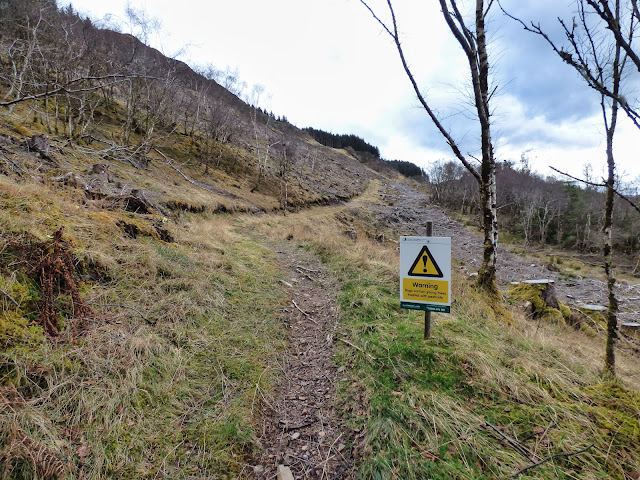
A nice old oak wood to start, these are solid thick trees, I wonder how old? There are a few options, some reports mention fences and cattle issues. But I followed the track to the stone dyke. I was pleased but surprised to see a small Scots Pine forest. As can be seen there has been a significant slippage taking in my proposed route so off to plan B.

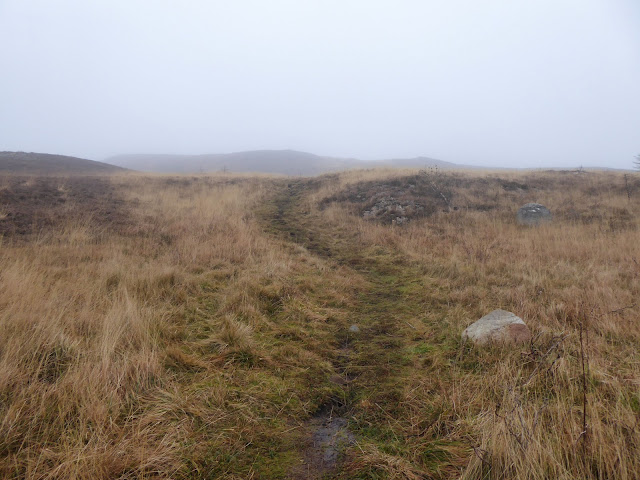
I followed an ATV track for a bit before cutting up through the heather to the top section. Even a bit of snow still surviving. A straight forward tramp through the heather. Typically the clouds had lowered so no clear views ahead but it was not difficult. I spotted a fence which is not marked on the map but does take you to the trig. 

The trig has seen better days, I wonder how long it will stand before the erosion topples it?

No views and a cold wind so no hanging about. Although it is flat land towards the east, locally there are some lovely rolling hills giving pleasant views once I dropped out of the cloud. I could hear voices carrying on the wind and twice spooted shepherds on their quad bikes, dogs sitting statuesque behind them, but never close enough to get a chat.

On the descent White Hill was directly in front of me. It looked like it had something of size on its summit so it would have been poor form to not go up it as well. Worth the short effort with the prominant lump of Mendick Hill not too far away. One for another eastern visit.

Back to the car the same way. It all seemed much shorter than expected. I debated whether to go to Mendick Hill but it was back the way I had came and as I was heading home I could not be bothered. Much more enticing was visiting the Big Red Barn which I had missed on a previous trip. The freshly made chocolate and raspberry sponge with nut topping agreed that I had made the right decision. 

A worthwhile short ramble, glad I did it.


Normal route up the fence, not today


White Hill

Green track modified ascent route

Broomy Law pylons

Ascent: 402m

Distance: 5.8km    

Time: 2.01

Wildlife: Rook; Jackdaw; Raven; Red Grouse; Blackbird; Pheasant


Annual January ramble up Craiglee

Hill: Craiglee (Loch Doon)

Type: Sub2k

Height: 523m

Time for my annual January trip up Craiglee. A friend wanted a walk but one that was not too onerous. I was originally planning a long overdue Wanlockhead outing but the forecast was for fog/mist. So off to Loch Doon to see if it was any better. As you can see from the snaps the answer was not a lot. Even the wildlife remained hunkered down nothing was about apart from a crow, not even finches in the bushes. Still it was a good leg stretcher and a good natter. Interestingly well over an hour quicker than last year albeit that had some deep snow conditions.


New to me


Ascent: 443m

Distance: 5.6km

Time: 2.2

Wildlife: Carrion Crow

Another ramble in mystical countryside.....Penvalla

Hill: Penvalla

Type: Sub2k

Height: 538m

The countryside around here is known for the legendery wizard, Merlin, of King Arthur fame and this hills' name conjours up those times. It is an odd name and sadly cannot find an origin for it, althouth I have not looked too hard. Maybe best left as a mystery.

Actually a very pleasant short winter walk in glorious countryside from Stobo. Rolling hills in autumnul colours even though it wasn't. When the blue sky disappeared under the slate grey clouds it got rather chilly but great when the sun came back out. Penvalla can be incorporated in a good and challenging circuit from Broughton, taking in 3 Sub2k's if you fancy. Thankfully the snow had disappeared so it was much easier going than I imagined beforehand.

It is an easy walk as it follows the John Buchan Way to the base of of Penvalla where you leave the trail and climb by a mixture of cross country and ATV tracks to the summit. On a day like today it was mainly glorious with excellent long distance views. 

A gentle early season leg stretcher that ticked all the boxes.

Start of walk Stobo Kirk

1st sighting of Penvalla

The single Scots Pine is a stand out

Great Tit calling for his pals

I knew from the map I had a water crossing but always happy to see a bridge

Open moor ahead

Found a track

Summit marked by a broken tree branch!! Looking across to Broughton Hills.

Always amazed at the top of a hill to find mole hills

I could hear voices then spotted the sheep being moved

Sun starting to go behind the hills as I descend

So cute

Ascent: 389m

Distance: 11.5k

Time: 2.52

Wildlife: Blackbird; Blue Tit; Buzzard; Carrion Crow; Red Grouse

Balmacara Woodland circuit

Walk: Balmacara Woodland Circuit

Another short outing for the good lady but with more ascent than yesterday will it have been a good pick? The forecast had not been great but thankfully it stayed dry for the ramble.

A good track got the ascent going quickly, behind I sensed all was not going so well!!  There has been deforestation around which leaves a mess but does give views over to Skye that would not have been the case with the trees intact.

The guides talk about following the red walk markers, only blue ones up here. But it is straightforward. After the construction junction the path goes alongside a wood before opening out in the deforested zone. The one advantage is that there are constant good views where previously there would only have been glimpses. Back into the old woods and a special place indeed. There is a very, very steep descent through the trees before joining a track. Surprise, surprise the red markers are everywhere and on a stretch where you cannot get lost!!

An excellent little ramble to break up the journey. Good views a success with even the good lady agreeing.

Walk start where is the red marker?


Not happy!!

Sub2k on left but we are going along the tree line


Looking back to Glen Sheil


Going over that soon, majestic hills behind.

Ascent: 242m

Distance: 6.01km

Time: 1.59

Wildlife: Robin; Great Tit; Blue Tit; Sparrowhawk; Blackbird; Goldfinch

No gold just grey today....Coronish mine walk

Walk: Cononish Gold Mine

Ascent: 185m

Breaking the trip with a short walk for the good lady. Last year we had watched the documentary series about the goldmine so it was an opportunity for her to actually see the location of the mine. Albeit from a distance but vehicles were moving about the entrance but not a great deal to get excited about. The weather forecast was for sunshine and showers which turned out to be a lot of showers, some heavy rain and very little sunshine. The low clouds also meant she didn't get to see the higher summits of Oss & Lui. The River Cononish was impressive in full spate, slate grey matching the skies. 

Still a pleasant enough ramble, the first of a few low level walks for this week.


Distance: 9.43km

Time: 2.08

Wildlife: Blue Tit; Great Tit; Raven; Meadow Pipit.