Sunday, 6 November 2016

Speyside Way Aviemore - Grantown


You will notice that I have incorporated 3 stages of the Speyside Way into this blog posting. I actually walked the Aviemore - Boat of Garten on one trip and the other two another day but all 3 can fit into a reasonably fit persons walking day or split them into 3 whatever you want.
View over golf course to Lairig Gruh
Starting at the railway station cross over the railway bridge, stop and admire the view south and of the station itself, and take the back road to Dalfaber (follow the cycle path signs if required). At the next road crossing head towards the golf course and that is you. The towns orbital path can be used as well to get to the golf course.
Watch out for bikers
The initial stages meanders past the golf course and through a natural wood to explore if you wish. The path to B of G is a busy MTB cycle route so take care they can be on you before you realise.
The terrain opens out with good views of the Cairngorms and the steam train might pass close by. Follow the good path until you reach a fork, the right hand takes you straight into B of G, the left is woodland trails used by the bikers eventually bringing you to B of G if you take the correct turns. I took the woodland trail, it added about a couple of miles but no views to interest me.
When you break out of the forest there is about half a mile of new and old, mostly very large, houses to admire if you win the lottery.

At B of G there is a cafe, shop and hotel if you want to get refreshments or even the bus or train back to Aviemore. 
If not turn left and follow the main road following the signs to the RSPB Osprey centre. Cross the River Spey, pause and look for salmon if it is the season, then there is a short stretch of road walking before entering woodland again and then into the forest proper at the T junction.
Typical track
The next couple of miles through the forest is a bit boring but plod on. If the right time of year you might want to take a slight detour to the RSPB Osprey centre, but for us they had already flown the nest back to Africa. Look up the tops for Scottish crossbills.
When I broke out of the forest the track had one of these frustrating signs pointing in a half direction. The track looked most used so I went left but of course I should have gone straight on upwards following the tree line. I had my doubts but I had walked another couple of miles before I was sure an error had been made. This mistake either meant a road section for a couple of miles or a similar about turn distance. I was under time pressure to meet someone in Grantown so just walked on via the road.
Bob Dylan where are you?
Nethy bridge is a typical highland hamlet, a mix of very old and new property. I had picked up a Speyside Way sign but there were no more to be seen going through through the village and to this day do not know where the route went. I knew I should now be walking the old railway line. I walked in the right direction going past the golf course and realised I should be somewhere down to my left hand side. Incidentally, I was told that Bob Dylan purchased a house somewhere near this golf course but no sight or even sound of him today. The detour did have its good points as I saw the golf course, look out for the short par 3 that is played across the Tomintoul road, quite unique in my golfing experience. Also I came across the beautiful Abernethy Old Kirk and its war memorial graveyard, very historic and interesting to spend some time here. 

I considered diverting across a couple of fields but too many cattle in them so no go. About a mile further on I spotted an opportunity and followed a farm track downwards which thankfully led me onto the Way again, very happy to be back on track. There are signs promoting the good work of the local farm in assisting wildlife to flourish, good on you.
Old Railway section
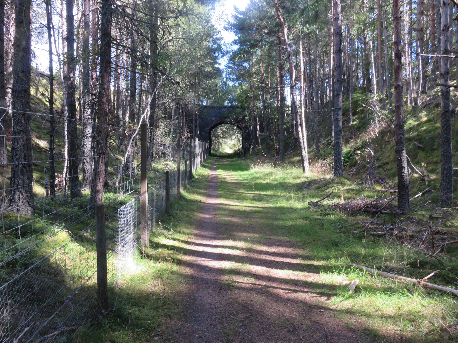
This section is straight forward flat walking along the old railway line, going through farm land but no animal blockages. Through some woods a huge brown and sandy coloured buzzard suddenly and silently takes flight moving away from me. Then the River Spey appears into view with 3 salmon anglers trying their luck or should I say skill.
Buzzard appeared here
This stretch is a bit more interesting with interchanging wood and open views. 
Finally I cross the mighty Spey and take the woodland walk to Grantown.
Overall an easy and interesting walk. Total mileage for the 3 sections was around 17 miles, 6 for the Aviemore - B of G, then 11 for the B of G - Grantown on Spey.
Salmon Angler on the Spey

River Spey


Sunday, 23 October 2016

Forth & Clyde Union Canal Ratho - Lochrin Basin


After my hill efforts yesterday I decided on a low level walk today. My walking plans for next year included walking the full length of the Forth & Clyde canal which runs from Bowling near Dumbarton across the central belt to Edinburgh. However, as I was staying close to Ratho I took this opportunity to walk the 1st stage, albeit in reverse, from the walks normal Edinburgh start to Ratho. It is much easier to get transport connections from the city centre rather than Ratho, hence my choice of direction.
Fixed housing and flexible boat housing
I have not been in Ratho for years so was surprised by the new housing as well as the canal boats. A pleasant and popular pub/restaurant located here.
Ratho
You are straight onto the canal path and this stretch for about 3 and a half miles is through pleasant countryside particularly so as the trees were entering their Autumn colours phase. However, it is also a fairly noisy stretch as you are close to the main Glasgow motorway and Edinburgh airport, so just try and block the constant drone out. 

The canal is popular with holiday barges but I thought that the season would be past but I did see 4 on the move today. Friendly waves from 3 of them but one grumpy bearded guy stared straight ahead, probably an English tourist.
Bird spotting included kingfishers, moorhens, buzzards and umpteen small tit/finch flocks.
First boat cruises towards me
Be aware the canal is very popular with cyclists and there were plenty around today and some of them obviously do not like walkers.

The canal crosses over the Edinburgh road bypass and now you enter a more industrial and and somewhat grimmer area including the housing schemes of Wester Hailes.
Wester Hailes housing block
However there was much more people activity on this stretch. More people using the canal path, walkers and locals, some with early morning beer cans in hand. A group were getting some canoe coaching. A bird spotter tells me what he has seen today. Another group of young kids getting kitted out. Rowing boats were many: singles, doubles and even a four man crew. They presumably must up oars if another boat comes the opposite direction as the canal is rather narrow and extremely murky should anyone fall in.
Looking down to Water of Leith and railway
When the canal goes over the Water of Leith the environment changes again, parks and more affluent suburbs along with Boroughmuir rugby ground and sport complex. 

 Another rowing club hut, at least the 3rd, sits on the far bank with this poster of dedication to the Olympian, David Florence (3 Olympic Silver medals), one of its members.
As more people are around I reflect that I have heard more Polish voices today than English speakers, interesting sign of the times.

Then I come to today's walk conclusion. More modern housing built around the canal. Boats moored and this impressive lift bridge.
It is strange to then walk through a passageway to now be at Fountainbridge in the heart of the city of Edinburgh. A 5 minute stroll to Princes Street. Just brilliant and I know where I am going for a pint of Edinburgh brewings award winning Paolozzi before I get the bus home.
A really enjoyable and varied low level walk of 8.1 miles with enough diversity to keep your interest for the full walk.
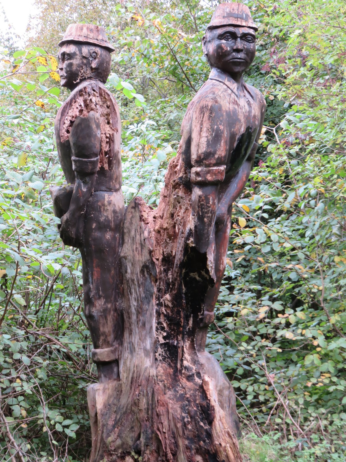
Not sure what this carving depicts, miners, canal labourers?


Allermuir & Caerketton Pentland Hills

Allermuir Hill from Caerketton
My principal objective today was Allermuir Hill (493m) which also included 3 other tops, a fine up and down walk. I set out from the Harlaw carpark which meant firstly traversing Harbour Hill, Capelaw Hill, then Allermuir and onwards to Caerketton. I returned by the same route. There is a fair old descent and ascent between each hill so a bit of a blowout for heart and lungs.
Arthurs Seat from Caerketton
The BBC weather app showed blue skies and sunshine. As it turned out the outward leg had an autumn squall, very high winds and very cold heavy rain. Luckily it was a SSE wind so it was at my back throughout. 
Capelaw Hill not sure what this represents
There were surprisingly a few other walkers around presumably also looking to take advantage of the good weather!!
From Harlaw across the fields to Harbour Hill
By the time I turned the rain had gone off but the strong wind remained. 
As always great views all around particularly over Edinburgh & the Lothians plus across to Fife, . Never a bad walk to do so get out and enjoy it. 
Allermuir trig looking over the southerly range Scald Law etc
The walk was 8.67 miles but felt longer as there was almost 1700 feet of ascent and took me 3 and a half hours. There is a shorter walk starting from the ski centre.
New Forth Bridges in the distance

West Lothian

Thursday, 6 October 2016

Ord Ban Aviemore


99.9% of the people who visit Loch an Eilein park their cars, walk around the loch and depart. It is a loch of repute and history but to be honest I always find the walk a bit too sedate and even boring. These visitors are oblivious of the fact that there is an easy peasy hill walk right beside them with outstanding views.
The gate in the deer fence
We walked in from our cottage in Aviemore but most people will drive and pay the £2 parking fee, no avoidance there is a manned booth. On the walk in the hill is in good view but its flanks appear tree covered with no obvious view of the summit.
From the car park the hard bit is finding the way over the deer fence. The Walkhighlands site has a walk report showing a large stile over the fence. Up and down we walked, no sign. Spoke to the car park attendant who said just go through the gate behind the ruined bothy!!
The faint trail
Once through the gate turn immediately left and follow the very faint track that zigzags up through the trees and ferns. The sun was out with plenty of butterflies sunning away and lots of other beasties buzzing about.
Mrs B zigzagging
The path is faint and narrow but in reasonable condition. In one muddy pool deer hoofprints were clear but we did not see any, plenty of cover for daytime hiding. Keep looking back as great views of the Cairngorm area.
Scrambling rocks looming
Once you break the tree cover there is a minor piece of easy rock scrambling, kids would love it. Now open skies, the flattish area covered in heather and new trees and a track leading to a trig point.
Trig in sight
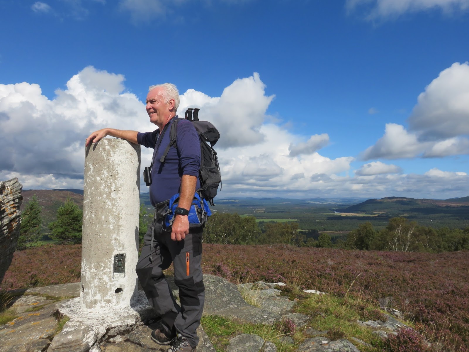
When reached, about 50 minutes as Mrs B with me, the 360 degree views are quite astounding. Pitlochry is clearly seen below to the north. To the East the Cairngorm massif and the sky lifts.

Looking south the rolling hills of the Dalwhinnie area are also clearly identifiable. Turn a little and looking now towards Kingussie I am sure I am looking at the Glencoe peaks but the biggest one could even be Ben Nevis. Lastly to the west is Geal Charn Mor, a Corbett in a recent blog. For such little effort quite simply outstanding views and it is a tickbox as it is a Marilyn category hill.
Aviemore below
However there were lots of big flying things annoying us so down we went retracing our steps. We were fine but friends I told this about went up about two weeks later and between the 15 of them they found 25 clegg bites!! Admittedly they did not descend by the same route, ended up going through thick bracken and ferns and had to climb the deer fence, not advised.

When we reached the bottom we treated ourselves to an ice cream in the tourist shop. We also decided to finish with the hours walk around the loch. As said before minimal birdlife in the trees and next no birds on the water. If you want a bland forest walk then go for it.
Loch an Eilein
Facts: 10.4 mile walk with 857 ft of ascent and a 5 hour day out. Official height of Ord Ban 428 metres.
A walk back to Aviemore and a couple of pints of real ale sitting outside the superb Old Bridge Inn completed a fine day.

PS:Scotland are playing Malta tonight, surely not a downer to the day!


Deuchary Hill Dunkeld


My expectations were that this was going to be a straightforward smallish hill with attitude and good views. It was, but it turned out to be a lot more adventurous than my expectations, all my fault of course.
I am using the 'The Hughs' book as this years walking guide and too be fair I have discovered some hills and landscapes that I would have passed by.

From my holiday spot in Pitlochry I drove the short distance to the starting point at the Cally carpark Dunkeld. However, I was to follow the A923 which had a road closed sign just by Dunkeld, diversions in progress and two cars three point turning as I arrived at the turn. Not knowing how far up this road the carpark was I was either brave or foolish, but went through the closed signs and found the car park only about 100 metres ahead, good.
A very bumpy quarter of a mile drive, got parked, only car in situ, got gear together and wandered down to signposts which as you can see there are a few paths around here.

Onwards up the Mill Dam track I went, in good fettle, taking in the changing Autumn colours of the countryside. The guide told me that at Glack kennels go through a metal gate. I reached a big metal gate, sign Glack kennels alongside attached to the fence, so through I went. Yes you have guessed. After a mile and more of steady climbing on a newly laid forest track I was doubting myself. 
Wrong track

It just did not seem right. I had not brought an OS map as I thought it would be straightforward and the book had a small map, big mistake. Luckily the phone had a 4g signal in the middle of a forest, surprising as it doesn't have one in Pitlochry!! Google maps confirmed I was in the wrong place although a faint track might have joined up. Not taking the risk as this was a newly laid forest track so back I went.
At the junction, guess what, a yellow marker sign pointing to the right, twat.
Onwards I went hearing dogs barking in the distance, the kennels? The track is good and I went by Upper Hatton and entered an open area. On my left sheep were being ushered in to a field higher up than I. Watching the sheep I then heard my arch nemesis, coos, bellowing behind me. Looking back a herd of black cows with young were moving at pace down the path I was on. Where had they come from? I walked faster heading towards the building I assumed was the kennels. Safety was reached without a coo attack and guess what a big metal gate!!
Track up the side of Mill Dam
Shortly after I reached Mill Dam and then as guided followed the track turning immediately right following the upper path to Loch Ordie. Fully laden Rowan trees all the way up.
Turn Right
You get some water views of the loch, but no fisherman or boats, and a pleasant, sometimes boggy, path up to a ruined bridge where you then take the immediate right fork.

Again the path has some boggy sections as it climbs gently upwards. I have a hill in my view which I mistakenly think is the objective, not for the last time on this walk. On the slopes I spot a deer in the ferns apparently undisturbed by the shooting on our right, grouse shooting I presume with double shots each time.
Easy to miss turn left
This path is actually a route heading for Loch Ordie, Deuchary hill seems to be a by product as you could easily walk by the almost hidden exit from the track taking you up the hill. It seems just a break in the undergrowth, no sign.
Now, there is a faint trail to follow and a short but pretty steep section, my heart was pounding, lost fitness. The track breaks out into a picturesque clearing and I look to my right at the climb ahead. Wrong again as I soon spot that the track actually goes towards the hill on my left. As I plod upwards, head down, sweat dripping, my peripheral vision catches some deer disappearing over a top, I presume I had disturbed them.
Loch Ordie below
The wind was now pretty strong and cold so outer layer jacket on. I reached the summit and the trig, although it was a grey cloudy day the views are still worth it, albeit not as far and wide as expected. Loch Ordie shows well along with a large white country estate mansion, rich people live down there.
Fallow deer stags
I move the short distance from the trig to the sharks fin of rock which is the true summit when I get my reward for my effort. Two stags are sitting just below the summit, sheltering from the wind. One of them had an unusual coat with a line down its centre and I was unsure about the shape of their antlers. Later research informed me that they are Fallow deer which was a first for me. I watched them for 5 minutes or so before the cold wind decided I was off the top but this is what the effort was worth.
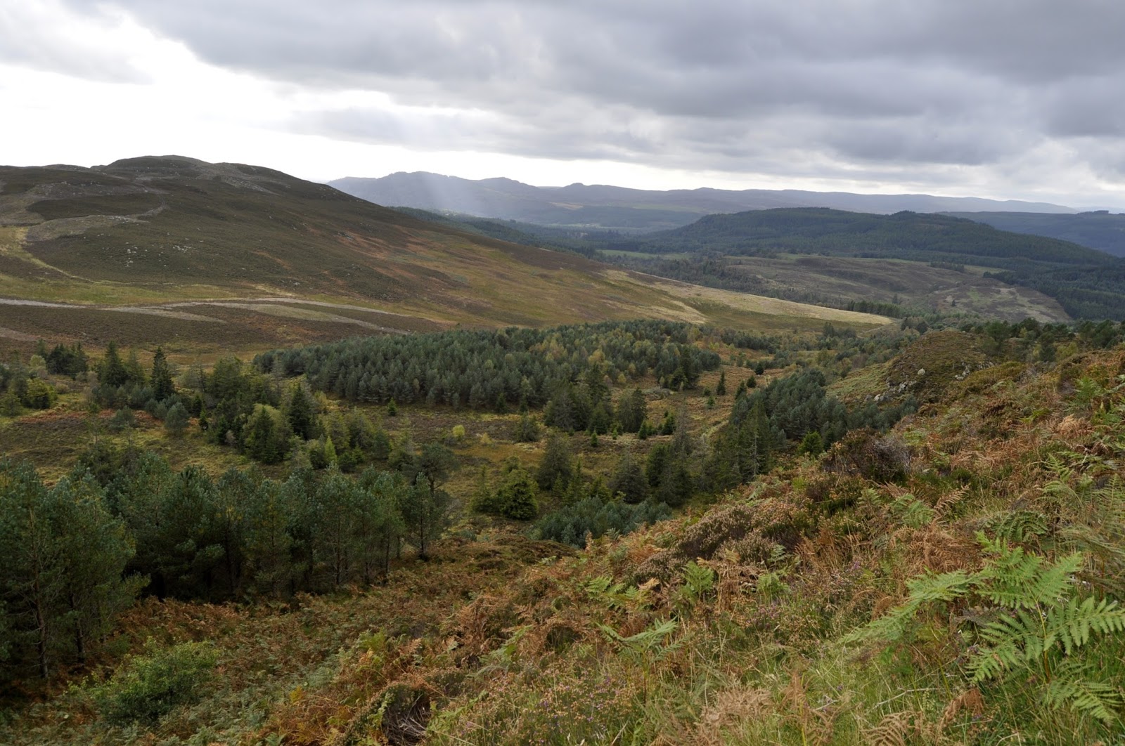
Lochan na Beinne and River Tummel towards Pitlochry
On the way down I spooked a partridge which decided to run down the path in front of me, constantly stopping and looking back, turn into the ferns I thought. On the hill to my left two figures with dogs appeared on the horizon, obviously part of the shooting party, grouse season I presume.
View towards Dunkeld on descent
Back at the kennels I decided to take the cowards approach and avoid the field of cows so followed an alternative track, parallel I thought, towards the Loch of Craiglush. As the trail continued to head in the opposite direction from my destination I got a sense of deja vu from the start of the walk. This time 4g indicated a dead end path. Dilemna I set myself a target of walking a further 1.5 miles and if I had not reached a sign/water/road I would turn back and face the coos. Almost to the mark I saw water and descended to the loch and then walked the road back to the carpark.
There was meant to be a forest trail back to the carpark from the Loch of the Lowes but I did not see it.
Two diversions meant a round trip of 11.97 miles instead of the expected 7-8. Time was 4 hours 44 min. An ascent 1889 ft but all in all a good trek and another 'Hugh' achieved.
Lonely car park
Definitely time for a beer.