 |
| The trig will be slightly right of the gorge |
On a few occasions when driving between Loch Aline & Strontian I had noticed a prominent trig that I could also see from the hotel in Strontian. From the parking area altitude it looked like a quick hour or so up and down. It was our last afternoon and we had nothing planned. Plus I had read about a recent post about Beinn Chlaonleud decided to tick another Marilyn.
 |
| The masts and the hill |
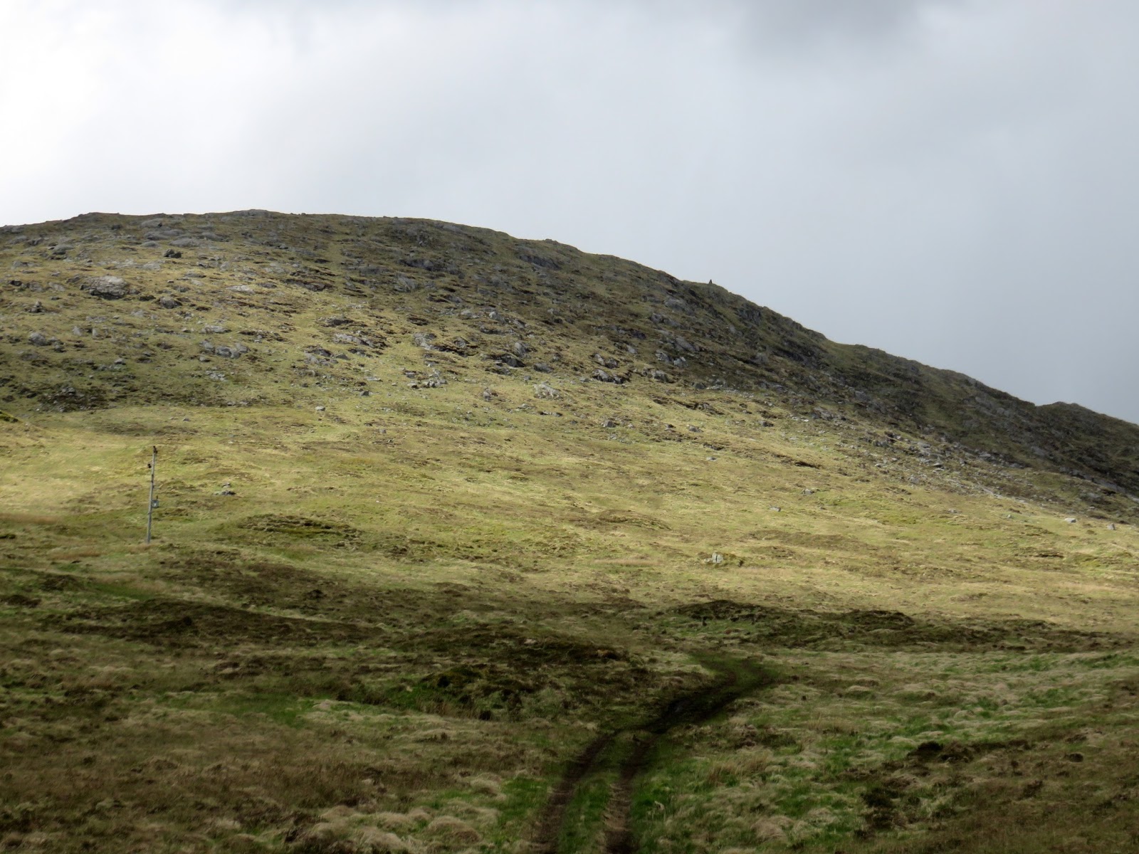 |
| The cairn just visible slightly right |

Once we reached a steep section, hands required at times, Mrs B decided that was enough for her and she would sit, take in the view and do some sketching. Happy to let me go to the top, shades of Arran a couple of weeks ago with my pal. Time pressure again.

With the angle you no longer see the top so just keep going on your line. As you gain height many large boulders abound. About 30 minutes after starting I broached what I thought was the last level, no steep climbs left. I headed upwards on a right angle and before long I spotted the cairn away to my right. Now the brain starts functioning and I realised the problem, there was higher ground behind the cairn, so it was not the trig point.
 |
| Cairn over there, Resipole in the distance |

So time to get the OS map out and then realised I was on Beinn nam Beathrach and not Beinn Chlaonleud. This cairn does not show on the map so not sure why it is there, just a better viewpoint from the one above? What a tube, on another day that could have been a serious error but today my concern was timings to get back to Mrs before she panicked. I had a phone signal but she did not, so no communication, txt just in case.
 |
| Through the gap Kentallen area |
 |
| Balancing act |
Again hoping for an eagle but nothing to be seen, not even any red deer although a few prints in the mud.
At least it is another sub 2000 completed, I did get to the cairn that I planned to, the views were superb and Beinn Chlaonleud remains for another day. Finally a reminder to look at the map before starting.
The trig is 582 metres but my ascent was only 301m. Time taken was 1 hour 23min (but if not in a hurry add another half an hour at least to walk around and take in all the views) and distance walked was 2.03 miles (3.27m).
No comments:
Post a Comment