Hill:
Glas Bheinn (Grey Hill)
Type:
Corbett
Height:
776m
Feeling
better today so decided on a bigger test. I was thinking about Quinag
but not really in that shape so opted for its singular neighbour,
Glas Bheinn. I knew this was a 6-hour ramble today, but the forecast was
the best day of the trip so made use of it.
Two
options for this hill and I opted for the longer, less direct route.
I parked at the car park near the Inchnadamph Hotel. My jinx is still
with me as my GPS did not have this walk in its memory. I knew I had
set it up last night but no idea what happened. Mmm decision time.
The hills were shrouded in cloud but were forecast to lift. I did
have my OS map and compass, with the route highlighted so old school today, off I
went.
After
the hostel I bumped into a couple of walkers staring at a map. Are
you heading to the Munros they asked? Nope, we looked at their map
and got them right and to be sure I walked the track with them to
their cut off. But because we were talking, I missed my cut off into
the hills indicated by a very small cairn.
This is a Corbett, not an
almighty Munro so no motorway size tracks here. I was expecting a
small wooden post as this is also a section of the Cape Wrath trail.
It has a reputation as an extreme challenge so maybe markers don't go
with it.
 |
| Gate to nowhere |
The non-obvious path now
became
a recognised one and had me puffing as I climbed
to
reach the
old gate to
nowhere, by this time I was sweating back style, where had this heat
come from, jacket and hat off.The
only sound was the gurgling of the river as I ploughed on climbing
all the time.
I
reached
a
small shelter with
a wooden
bench, room for two but a good view of a waterfall,
more
about this shelter later.
After about an hours walking I got my first
view of my target the ridge still in cloud.
More
ups and downs on the rocky/stony/boggy narrow track but at least
someone had put some work into it. But this is real isolation, a very
remote piece of our land.
Eventually
the path descended
via
a
very boggy section
to reach the outflow of the larger Loch Fleodach Coire. This
was the bit I was unsure about, if the river was in spate turn back
time. Although the stepping-stones were slippery and some of them submerged it was passable.
 |
| Green lochan |
After
crossing the outflow where
was the
path? I
walked along the very boggy edge of the loch
to
meet another burn crossing, then another!! Some trampled grass
indicated a path, yippee. But it was going up away from where I wanted
to be albeit I knew from my map that it would turn around higher up.
Looking at the terrain a direct route to the base of the hill was
clear but unpredictable. Being on my own I stuck to the path for now.
With the ups and downs there is a lot more ascent than the hill
height suggests.
 |
| Heading for grassy rake mid left |
Now
another decision as my map was now differing from the Walkhighlands
description which thankfully I had downloaded as text on my phone. I
had to take a much longer walk than expected to the base of the hill,
crossing some very wet and boggy sections.
 |
| Turning from grass to boulder scree |
 |
| A few of these hiding in the grassy bog |
I
knew this was now a series of elevations to the plateau. Sticking to
grassy sections as much as I could I reached an open grassy area
surprising some hinds but were they bothered, nope.
 |
| 1st of a few sightings |
The
next two lifts were awkward boulder/scree sections. Now I
was into
proper Assynt Corbett tops terrain.
Finally a plateau was reached but no sign of the top. I had seen what I
thought was the top cairn but just a line of sight one. Easier
walking with areas of grass and stones but aware of how close to the
drops I was.
Then I spotted it
over the plateau at
10 o’clock so a different angle to the one I was on, yes I had not been looking at the map. With
relief
the big cairn and shelter was reached. Decent views but not the best I have had on these hills, not a patch on Breabag for instance. Looking back the clouds were
romping towards me so I wasn't hanging about.
 |
| Quinag |
 |
| Looking back along the plateau |
 |
| Canisp & Suilven |
 |
| Glad to be off the scree. More deer on the grass |
 |
| Inchnadamph looks close but still a few hours away |
The
views over
to Quinag
showed
its tops still covered in cloud. Nice views out to sea and the
stony landscape close by. As I was self-navigating I wanted to get away from the steep drops before the cloud covered
me. Big plateaus can be awkward to
navigate for my skillset.
 |
| Heading back to the stepping stones, Conival's peak just in shot |
 |
| Snap doesn't do waterfall justice, the noise was spectacular and soothing |
Got
back down, over the moor and across the stones safely
and climbed
back to the shelter for my sandwich. I sat on the grass listening to
the waterfall tumble
down from its great height,
genuine tranquillity.
A wilderness all to myself. Just as I finished my sandwich, I noticed a tick crawling up my arm. I killed it but noticed
another on my underarm. As it was despatched, I saw one on my jacket
sleeve and another on my rucksack. Despatched those two then headed
off at a pace with still at least another hours walking. On the descent I
felt something on my neck and scalp, three more times, each
a tick was killed but
now every itch or whatever had me paranoid.
 |
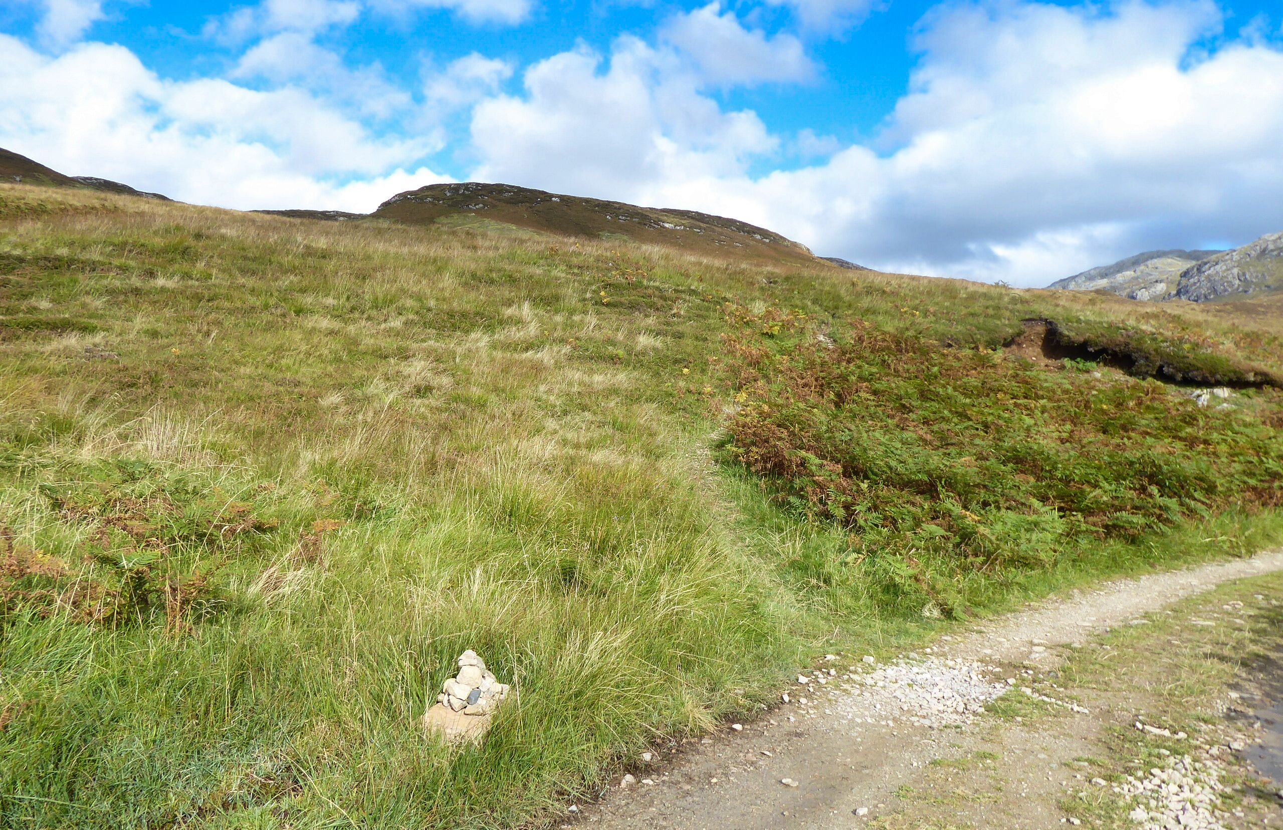
| Almost back. Took this on the ascent as loved the sky. |
Was
I glad to get back to the car and go through all clothing and gear but no more
ticks
found. Thankfully likewise back in the shower.
Overall,
ticks aside, a superb long-distance ramble. Certainly not one to be
walked
in
poor weather unless absolutely sure of your outdoor skills. This is
genuinely one very remote place. I was solo in more ways than one,
not another person spotted. But
it is a while since I had the buzz of solo walking in a remote
environment. Certainly not a feeling I get in group walking or even
with just one other. This being alive buzz only comes from solo
walking. You
really can get Scotland to yourself.
As
I looked over at Quinag it
was
heavily
covered in very dark clouds, I made the right choice.
Ascent:
900m
Distance:
18.1km
Time:
5.38
Wildlife:
Chaffinch; Meadow Pipit; Red Deer (hinds); Raven (heard); Buzzard;
Scotch Argus; Red Admiral;