Showing posts with label Cape Wrath Trail. Show all posts

Saturday, 8 August 2026

Watch out for the drop.....Carnan Cruithneachd

Hill: Carnan Cruithneachd (Hill of the Picts)

Type: Fiona

Height: 729m


The forecast indicated that today was to be the only fully dry day of our weeks break. So a pretty please to the good lady and I was given permission to ramble. So I headed for this nearby Fiona which I thought would be a quickie. An early start but as it turned out the ramble took an hour longer than I envisaged.

A beautiful morning when I parked up at the Mountain Rescue centre. That was an error as I could have gone a bit further and parked at the outdoor centre which would have saved me half an hour of road tramping.

An encouraging start when I heard the first of many cuckoos as I laced my boots, a smile brought to my face. I know some see them as parasites due to laying eggs in other birds nests but I find them remarkable and as said who doesn’t like the call of the male cuckoo. As an aside would you recognise the females call?

Before long I spotted the first of many small red deer herds on the flanks of the Corbett Sgurr an Airgid.


There were more people on the walk in than I expected. I knew of the 2 nearby Munros and the long distance route to Glen Affric. But what I didn't realise was that my walk in was also an option for Cape Wrath Way walkers. I spoke to a few of them en route, another reason for taking longer and surprisingly all bar one English guy were foreigners.


The initial stages had the bulky Munro of A’ Ghias-bheinn directly in my vision. At first I thought this was my target but soon realised my error and mine was still a long way away.

Target in the distance

The track split and I almost made the rookie error of not concentrating taking in the surroundings and following the people in front who were Munro baggers.


But I remembered I had to take the left fork which led to woods and across a well constructed bridge before hitting another tree plantation. A heavy shower ended the fully dry day prediction but thankfully it only lasted a few minutes. Although I did see many showers passing by on either side. When I returned the good lady commented that it must have been horrendous in that hail storm, another break as it did not hit me.

Another split in the trail but the left one was my possible descent route, at this stage I had not fully decided.

I went up to the side of the heather on the right

So up the right hand track until clear of the woods where a single narrow track steeply wound its way up onto the moor in short time. Heavy breathing time. I caught up with more walkers who were on yet another option, this is also the track to the Falls of Glomach.

The SMC book’s route was to follow this track to the high point. But this looked a long way away and I knew that the summit was almost a 90deg turn straight up.

Looked ok from here

So one of those last minute decisions was made and I went straight up. The initial slopes were steep but easy going on the good short grassy sections between the heather. But then the going got much tougher. 60deg slopes meant I was facing right into it and for about 30 metres I was on my knees at times, using the heather to hand pull me up.


Gradient eased and as I looked back down it was certainly steeper than it looked from below. Easier going but of course 3 false ridge tops before I got to my high point and had a view of the hill.

Thankfully I can see it

Still a lot of moor to cross to get there

It was probably about 2 kilometres away but it looked further across the undulating peat hagged moor. The going was fairly straightforward but it was very undulating, quite a few exhales as I crested one height to drop quite a bit before repeating a few times.


Got to the base and although it is craggy there were plenty of grassy rakes to evade them. As said plenty of red deer around and 3 let me get really close to them before moving off.

Summit in view

Puffing a bit I wound my way up to the high point. When I reached the top I got a fright as I glanced down to my left and realised it was a precipitous drop all the way all the way down to the River Elchaig. Wow a real vertigo moment, I had not expected that and glad I had arrived with full visibility and not in cloud, one step too far! Later I was speaking to an ex Mountain Rescue guy who said there had been fatalities from there.


The views were really superb in all directions so it was time for a seat and enjoy my mini pork pies and take it all in. These moments are what the slog is all about, well worth it.

Heading for the trees to the right

Finally time to descend and I opted for the circular descent as I could see the ATV track coming out of the woods. Tramped over the moorland to the track which was rough in places but better than the hags.

Relief no fence to climb

From the ascent I knew the plantation was enclosed by a deer fence so my only concern was if there was a locked gate but it was wide open. In the forest the track was extremely steep covered in stones and rocks so sliding as it was like walking on marbles so it was slow progress.

Finally back on the out route which somehow felt longer. Although I have heard quite a few Cuckoos this year I have not yet snapped one. At a clearing one was calling loudly. On the slopes there were only five small trees and patience paid off when I spotted it. Got my camera out and as I woke it up I heard a bleep, the battery had died.

So apart from the no cuckoo snap it was a good ramble. The gradients tested my fitness but I passed although I know it was at my pace, more comfortable with that now than trying to keep up with faster walkers, old age does not come without some drawbacks.

Back at the car more yacking with other walkers. I think chatting too often was my other half hour lost lol.

Ascent: 820m

Distance: 16.9km

Time: 5.23

Wildlife: Red Deer; Raven; Meadow Pipit; Cuckoo; Chaffinch; Coal Tit; Mistle Thrush; Wild Goats;

Friday, 21 October 2022

Remote Glas Bheinn.....The hill of the ticks

Hill: Glas Bheinn (Grey Hill)

Type: Corbett

Height: 776m

Feeling better today so decided on a bigger test. I was thinking about Quinag but not really in that shape so opted for its singular neighbour, Glas Bheinn. I knew this was a 6-hour ramble today, but the forecast was the best day of the trip so made use of it.

Two options for this hill and I opted for the longer, less direct route. I parked at the car park near the Inchnadamph Hotel. My jinx is still with me as my GPS did not have this walk in its memory. I knew I had set it up last night but no idea what happened. Mmm decision time. The hills were shrouded in cloud but were forecast to lift. I did have my OS map and compass, with the route highlighted so old school today, off I went.

After the hostel I bumped into a couple of walkers staring at a map. Are you heading to the Munros they asked? Nope, we looked at their map and got them right and to be sure I walked the track with them to their cut off. But because we were talking, I missed my cut off into the hills indicated by a very small cairn.

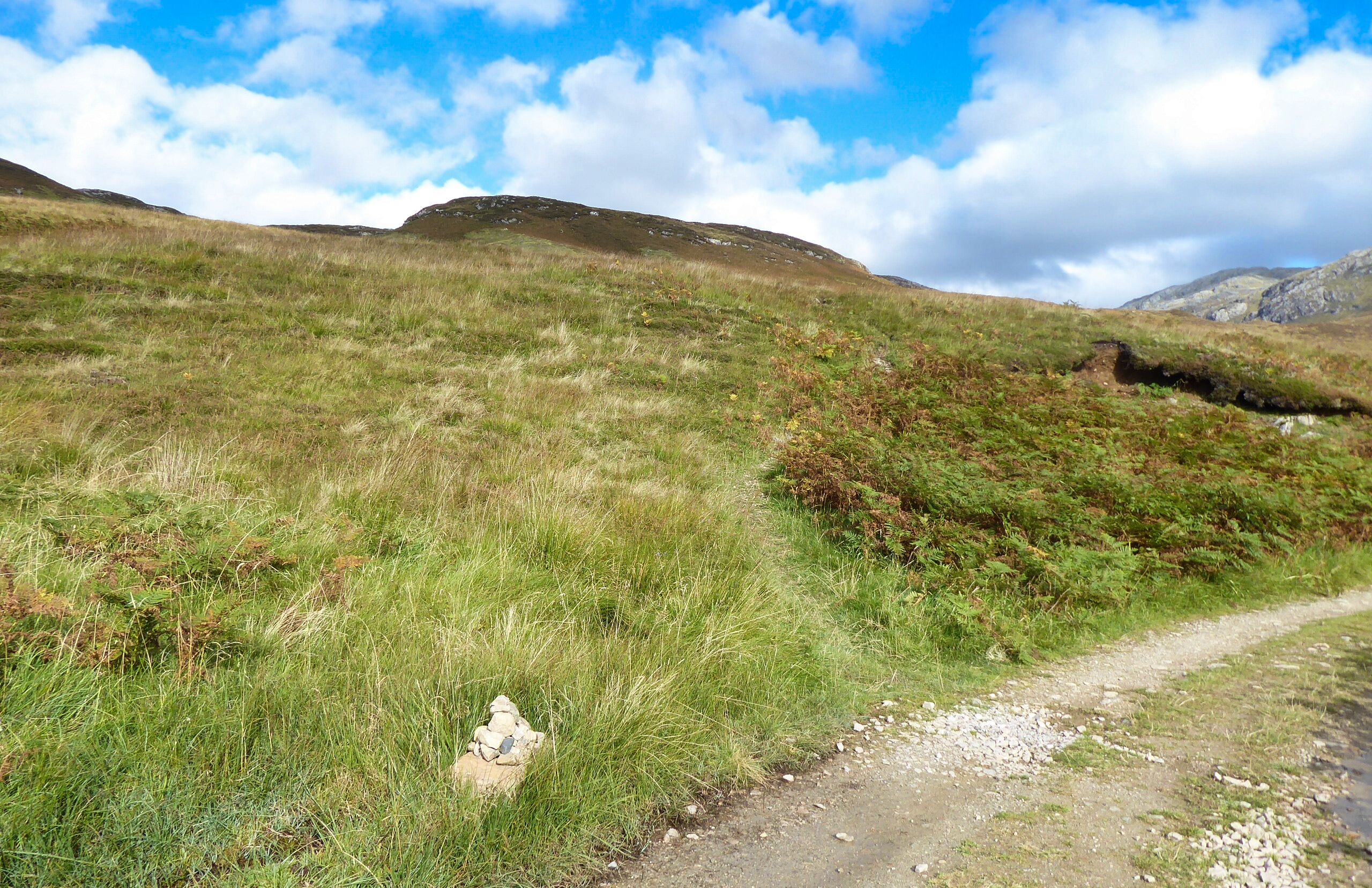
This is a Corbett, not an almighty Munro so no motorway size tracks here. I was expecting a small wooden post as this is also a section of the Cape Wrath trail. It has a reputation as an extreme challenge so maybe markers don't go with it.

Gate to nowhere
The non-obvious path now became a recognised one and had me puffing as I climbed to reach the old gate to nowhere, by this time I was sweating back style, where had this heat come from, jacket and hat off.

The only sound was the gurgling of the river as I ploughed on climbing all the time.

I reached a small shelter with a wooden bench, room for two but a good view of a waterfall, more about this shelter later.

After about an hours walking I got my first view of my target the ridge still in cloud.

More ups and downs on the rocky/stony/boggy narrow track but at least someone had put some work into it. But this is real isolation, a very remote piece of our land.

Eventually the path descended via a very boggy section to reach the outflow of the larger Loch Fleodach Coire. This was the bit I was unsure about, if the river was in spate turn back time. Although the stepping-stones were slippery and some of them submerged it was passable.

Green lochan
After crossing the outflow where was the path? I walked along the very boggy edge of the loch to meet another burn crossing, then another!! Some trampled grass indicated a path, yippee. But it was going up away from where I wanted to be albeit I knew from my map that it would turn around higher up. Looking at the terrain a direct route to the base of the hill was clear but unpredictable. Being on my own I stuck to the path for now. With the ups and downs there is a lot more ascent than the hill height suggests.

Heading for grassy rake mid left
Now another decision as my map was now differing from the Walkhighlands description which thankfully I had downloaded as text on my phone. I had to take a much longer walk than expected to the base of the hill, crossing some very wet and boggy sections.

Turning from grass to boulder scree

A few of these hiding in the grassy bog
I knew this was now a series of elevations to the plateau. Sticking to grassy sections as much as I could I reached an open grassy area surprising some hinds but were they bothered, nope.

1st of a few sightings
The next two lifts were awkward boulder/scree sections. Now I was into proper Assynt Corbett tops terrain.

Finally a plateau was reached but no sign of the top. I had seen what I thought was the top cairn but just a line of sight one. Easier walking with areas of grass and stones but aware of how close to the drops I was.

Then I spotted it over the plateau at 10 o’clock so a different angle to the one I was on, yes I had not been looking at the map. With relief the big cairn and shelter was reached. Decent views but not the best I have had on these hills, not a patch on Breabag for instance. Looking back the clouds were romping towards me so I wasn't hanging about.

Quinag

Looking back along the plateau

Canisp & Suilven

Glad to be off the scree. More deer on the grass

Inchnadamph looks close but still a few hours away
The views over to Quinag showed its tops still covered in cloud. Nice views out to sea and the stony landscape close by. As I was self-navigating I wanted to get away from the steep drops before the cloud covered me. Big plateaus can be awkward to navigate for my skillset.

Heading back to the stepping stones, Conival's peak just in shot


Snap doesn't do waterfall justice, the noise was spectacular and soothing
Got back down, over the moor and across the stones safely and climbed back to the shelter for my sandwich. I sat on the grass listening to the waterfall tumble down from its great height, genuine tranquillity. A wilderness all to myself. Just as I finished my sandwich, I noticed a tick crawling up my arm. I killed it but noticed another on my underarm. As it was despatched, I saw one on my jacket sleeve and another on my rucksack. Despatched those two then headed off at a pace with still at least another hours walking. On the descent I felt something on my neck and scalp, three more times, each a tick was killed but now every itch or whatever had me paranoid.

Almost back. Took this on the ascent as loved the sky.
Was I glad to get back to the car and go through all clothing and gear but no more ticks found. Thankfully likewise back in the shower.


Overall, ticks aside, a superb long-distance ramble. Certainly not one to be walked in poor weather unless absolutely sure of your outdoor skills. This is genuinely one very remote place. I was solo in more ways than one, not another person spotted. But it is a while since I had the buzz of solo walking in a remote environment. Certainly not a feeling I get in group walking or even with just one other. This being alive buzz only comes from solo walking. You really can get Scotland to yourself.

As I looked over at Quinag it was heavily covered in very dark clouds, I made the right choice.

Ascent: 900m

Distance: 18.1km

Time: 5.38

Wildlife: Chaffinch; Meadow Pipit; Red Deer (hinds); Raven (heard); Buzzard; Scotch Argus; Red Admiral;