This was to be my last outing for 2016, desperately needed to shake off the Xmas inertia and too much food and drink. I didn't want to travel too far so opted for the first leg of this long distance route, a new one for me. The River Ayr walk breaks down nicely into 3 similar stretches.
Today I began my walk at Stair, a lift required as the nearest public transport bus stop at least 2 miles away and headed in the direction of the sea. It is a walk that follows the river about 2/3rds of the way and disappointingly off river for about a third, presumably landowner difficulties the reason for leaving the confines of the river.
 |
| River Ayr near Stair |

The river alternating between fast and calm water with mergansers and dippers for company. On the right, up in the woods, you get sight of Enterkine house hotel, with a large marquee erected, wedding time I presume.
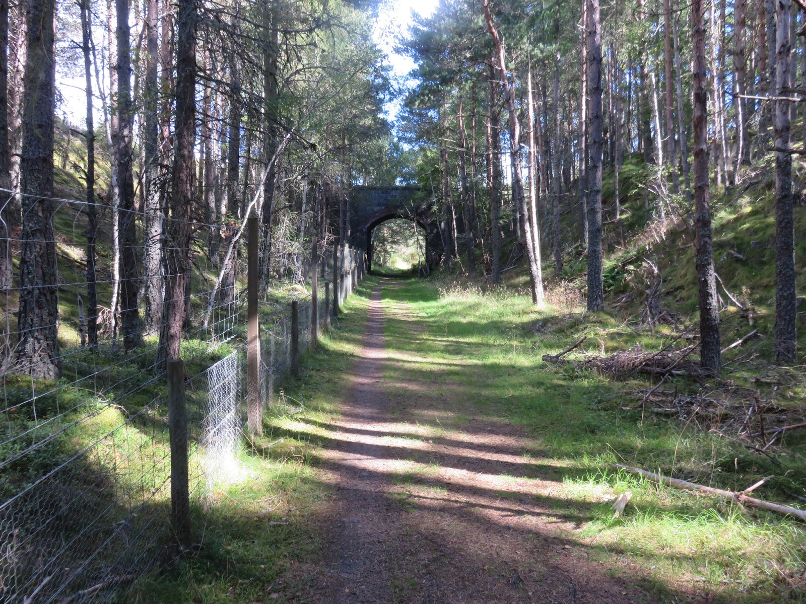
You now catch sight of the very impressive Enterkine rail viaduct built in 1872. It was originally built to transport coal from the pits as well as the Ayr to Cumnock passenger trains, and I believe an occasional goods train still crosses, but I have never seen one. Once under the viaduct the next bridge, Gadgirth, is in sight ( there are quite a few bridges on this walk). Across the water it looks like someone is doing work in the wood, I noticed it was up for sale, a wooden structure has been started, fisherman's stuff maybe?
 |
| Enterkine Viaduct |
Now upon reaching Annbank, a mining village, you take the first diversion from the river. The route I am using (via Walk Highlands) leads through the village and on the very outskirts there should have been a sharp turn left heading back to the river at an old nursery. I missed this (maybe it has gone) and walked the road for half a mile before rejoining at the next bridge. I had not brought an OS map just using my notes, wrong again. 4g did work but did not show this old mill and showed me joining the river if I kept walking. In Annbank there is a small store if you want to buy some provisions, indeed the last one until Ayr.
 |
| 1st fallen tree |
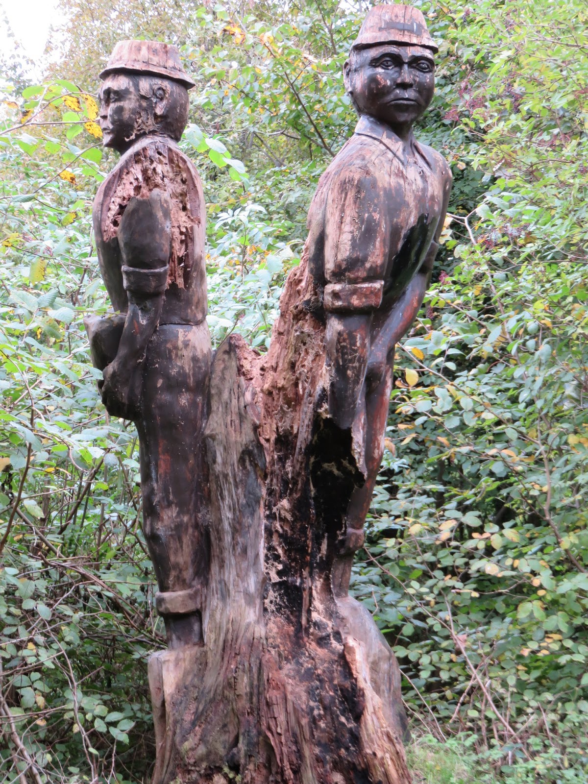
 |
| Wallace's seat |
The track rises above the river, pleasant if routine forestry stuff. I can see Auchincruive estate buildings on the other bank. The guide indicates crossing a stile and go across a field but I choose to head down via the river. On a good low river day you can follow this lower track to Oswald bridge but it could be dangerous in high running water. To stay true to my guide I rejoined the field and wished I had not. It was clear horses or cattle roamed here (none visible but recent droppings were in evidence), their hooves creating many deep holes in the grass, not great walking. Plus, the upper plank of the stile crossing has been removed making for a very awkward clamber over a high barbed wire fence. I am sure a few folk would not make this.
 |
| Green winter crop. |
After crossing Oswald Bridge the next couple of miles takes you well away from the river, passing the college then following a straight cycle route to the A77. It is initially muddy but soon becomes tarmac. This is small homestead land, plenty of horses, kennels etc. But, I did get a close view of a yellowhammer, a rare sight to me these days.
 |
| Underpass at A77 |

Not a great day for wildlife but the sightings included: buzzards, heron, mergansers, goosanders, mallards, woodpecker, and all the common woodland birds and of course the yellowhammer.

I enjoyed the walk, a fine day out, just over 4 hours of effort and 11.5 miles. The other two stretches will be completed next month.
It has been a good outdoor year so have a good one and here's to 2017's rambles.
Postscript:
I was disappointed at missing the turn at Annbank so I returned today to complete the walk and it was a good decision. The stretch I missed was just over a mile and a half almost wholly alongside the river. The water is an anglers dream with alternating calm pools and running water. This enhanced the environment as the tranquil surroundings are either calm with only birdsong to break the silence or the roar of fast running water even when the drops are minimal.

At one point I came across this tree covered in Xmas baubles. No idea what the reason for these is.
 |
| Little Egret |
So really glad I made the effort, one of the best stretches of the walk. An extra 1.5 miles.