Thursday 10 January 2019

Making a mountain out of Moorbrock Hill

Hill: Moorbrock Hill….Point on the moor
Category: Donald
Height: 650m
There is the odd day when you are struggling up a hill that you wonder why you just did not stay in bed. Today was one such day but I have to say the views from the top more than made up for my struggles.
Working my way through my short walk winter list I decided to tick off the Donald of Moorbrock Hill. I was looking at it the other day from Windy Standard and hopefully there would be a lot fewer turbines on view today from this angle.
I should have started along beyond the cars
The walk began for me near the traditional start at the cottage of Craigengillan. There were no parking signs all around so I drove along to a passing place and parked up there. I know, not allowed, but it was big and another person done the same.
Crisp beautiful blue sky morning the nearside grass still covered in frost.
Walked back up past the cottages and headed up already getting a good view of the objective. First bad sign, I switched on my GPS and somewhere between my last walk and today I had reset the factory settings. Grumbling away I managed to find the route on it, opened it to find the track I should have been on was about 200 metres to my right, through a forest, what the heck. From past readings of the route I had Craigengillan cottages as the start but it is not any more.
Gate to ATV track
However, it looked like it would be closer to cut across the terrain nearer the estate buildings so on I went. There are big deer fences around and I thought I might be scaling at least one of them. Thankfully I saw an ATV track crossing a field and the big gate at the end was not locked, phew.
Spoke to the ghillie at the buildings and he confirmed my way was the old route superseded by the new estate road. Nice bloke, had an informative chat and was on my way.
Track petering out gap I was heading for ahead
After chatting I followed a track round some buildings heading towards the gap between Beninner and Green Hill which was ahead in the distance. 
Shortest way through these trees
Another wrong decision as the track petered out, disappeared into a deer shooting area, then a tree plantation. Once again dug out the GPS I should have followed the track away from the hills!!
It was a lot darker than snap shows
Rather than backtrack I went through the tussocky stuff, then the woods, more rubbish terrain then met the track again. It was a beautiful day, I had not really done much ascent but my legs were gubbed and they stayed like that all day, biorhythms or something!!
Turn behind Green Hill
I decided to simply follow the track around Green Hill and up to Moorbrock, nae cross country for me today.
The amount of shooting hides dotted around was amazing considering it is just one guys playground. 
Roe deer
I saw many deer, all roes around here, I wonder if they are fed like the birds to keep them local?
Polliferie burn
When I reached the crags there were excellent views below of the meandering Polliferie burn and one of the trout pools the owner has built, red deer grazing beside it, 
Next bummer my camera was bleeping away, message ‘change the SD card‘. Yes I did have a spare, and yes it was at the bottom of the rucksack so everything out. For some reason the camera did not like this new SD card and refused to play ball, no more spares so more curses.
Carsphairn & Beninner
Still spent time looking around, of course there were a few turbines but not a lot. The Lowthers and Durisdeer hills. The Solway glistening and all the Galloway hills. The big hulk of Carsphairn behind and of course Windy Standard. Stunning views.
On my way down I spotted a figure coming down the grass of Beninner, wonder where he/she came from?
A simple case of following the correct track back to the estate buildings for another chat then the new road back to the car. A cyclist flew past , Beninner man? 
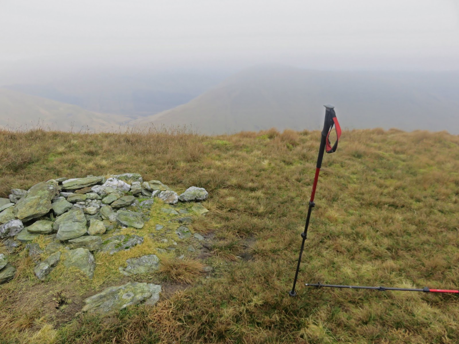
Moorbrock Hill & estate
Looking back this really is a glorious spot, the foreign owner is a lucky man. Despite the body being out of sorts and my other mishaps it was a one beautiful day and excellent views, glad I did it.

Wildlife: Buzzard, Snipe, Raven, Red & Roe deer.
Time: 3.16
Ascent: 504m
Distance: 12.3km

Sunday 6 January 2019

Luss Grahams, cracking hills but they don't get any easier

Hill:  Beinn Eich & Doune Hill
Category: Graham
Height: n/a
Parked up at Luss looking forward to a good walk. However, I noticed a warden at the metres, thought this was a free parking area, nope £9 for the full day. You don’t mind a smaller fee £3-4 quid but this is rip off. So our cars moved a small distance to free parking, there you go no money to them, their greed cost them, no sorrows.
Another extremely mild day for the beginning of January as we walked the tarmac road up Glen Luss for the 2 miles or so until we got onto the real walk. 
Beinn Eich
As you go up the road you get your first view of Beinn Eich.When you turn off at Edentaggart the first challenge is Beinn Eich, 703m. There is a faint track for a while before it becomes rough tussocky stuff. Don't follow the blue pipe around the hill or you will go off track. It is damp and boggy in patches and typical of Graham hills it is simply an unrelenting slog up the hill. 
Steep slog
With the steepness of the gradient there are also a significant number of false hope ridges, always another one behind it.
Getting there

Still plenty of opportunities to take a breather and look back at the hazy views of Loch Lomond.
Doune Hill ridge
 Doune Hill ridge looks far away from here.
Eich cairn
When we get to the top the small cairn has been flattened, cairn vandals? A light cloud is shrouding us and it has lowered the temperatures significantly. A quick lunch whilst looking down Glen Mollochan and across to Mid Hill & Beinn Dubh.
The knobbly hump of the Graham, Cruach an t-Sidheim can just be seen but not for us today.
Doune Hill ahead
We descend about 200 metres before making the gradual climb to the top of Doune Hill, the highest Graham in the Luss hills at 734m.
Misty trig
The trig appears out of the gloom and thankfully the climbing is over for the day.
View from Doune, Beinn Eich on right
A steep and meandering bracken and tussocky descent ensues with super views down Glen Mollochan, the burn twisting and turning, a lovely view.
Grassy descent
The walk out along the glen basically follows the left of the burn and is very wet and boggy in lots of places. But nice to feel hemmed in by the hills. Some impressive gulley’s on the flanks of Beinn Eich.
Finally the tarmac trek again back to the finish.
A tough walk today with an ascent of over 1000 metres that would make most Munro baggers proud. Good company and done at a good pace. Only disappointment, where was the wildlife?

Wildlife: Raven, 
Time: 5.59
Ascent: 1062m
Distance: 19.3km

Wednesday 2 January 2019

No wind just baltic on Windy Standard

Hill: Windy Standard 
Category: Graham/Donald
Height: 698m
I have had this hill on my to-do list for a long time. The reason for not walking it being the huge wind turbine development that surrounds this area was still in full construction last year but hopefully during this winter holiday I would at least be spared the construction traffic if not the turbines
A very cold morning, -3 degrees, when I drew up at the final parking area before the dam. I had not planned a route as I was unsure about the extent of the construction trails. 
Climb here to Wallace stones
A short walk along the track towards the dam then off to the right up the very ice track to the rocks of Castle William (apparently these have connections to William Wallace but I know not how), where I joined the first construction route of the day.
Stalactites
The sun was low and fierce, difficult to look ahead. Bitterly cold the mitts were donned and plenty of icicles around.
The track went round Black Hill and I stuck with it to avoid the glare. 
Cold and tough firebreak
I was moving away fro Windy Standard so it was decision time. I could see a fire break leading uphill and then further on a deforested area which looked like it had track lines zig zagging up the hill.
That will do I thought. I descended across a deforested area, tough going and scared a roe deer. Entered the fire break and this was very tough going, waist high reeds, and criss crossing the very deep at times Water of Deugh. I was trying to follow a very track, deer or human and then I came to a deer shooting hide, so maybe both.
Onwards up through the fire break until relief at reaching a construction road. Enough of the fire break I headed north to find the deforested area. 
Careful walking across this wooden minefield
There was no obvious path in so I just plunged across the destroyed and decaying tree debris, tough walking. What I thought was a meandering track was actually very deep excavation trenches, more obstacles. 
The sweat was flowing when I finally reached another construction road. This took me all the way to Windy Standard, no complaints.
Looking to Blackcraig & Blacklorg
When I cut across the grass to the trig there were fresh footprint indentations in the soft damp grass but nobody else seen. 1 hour 44m to trig. 
Cairnsmore of Carsphairn
Excellent views all around even if the sun was glaring as I looked at Carsphairn & Moorbrock, but it was bitterly cold so no hanging about. Just ignore the turbines beside you.
I was tempted to look for the Deils putting stone but instead headed towards Alhang and walked until the fence.
Fence & track descent
Then followed this at times wet and boggy track back over Wedder and Lamb hills and back to a construction road junction I had passed on my outward leg. 
Large deforested section
From here I looked over the earlier deforested stretch and it looks big from here.
Then descended with excellent views across the reservoir to the Blackcraig circuit.
Craigdarroch Hill
Finally I spot a couple walking a dog then three figures across the water.
Back at the parking area and there were almost 20 cars parked up. Where were all the people?
Actually shorter than I expected but a challenging at times first walk of the year, in crisp blue skies, the new year is up and running. And I don’t intend to be so close to these wind turbines ever again.

Wildlife: Dunnock, Roe deer.
Time: 3.05
Ascent: 1516ft
Distance: 8.05m