Thursday 28 June 2018

Scorcher on Dun Da Ghaoithe

As is the norm for me the main difficulty is finding the start of the walk. I must have missed the sign for Torosay Castle so was surprised to find a large sign for Duart castle around the same place, had they changed names? I knew I had gone further than the WH description but I turned up a tarred lane on the right and soon parked up. Although a track headed through woods this did not feel right.
Iron ladder on right
So back onto main road headed back, past a working quarry then took the next turning and parked in a good sized area next to a field, not as described but! Not a good start when getting the OS map out to check where I was!!
The temperature was already 18 degrees at 8.30am so a warm day ahead, hence the early start.
1st view of hill at 1st mast
I come across the big iron ladder so in the right place and followed the stony maintenance route to the 1st mast, 50 mins to here, where I get my first views of the hill. Sweating already, there is no breeze along with the heat from the stone path.
Quite a few short stops to take in the views behind, plenty of Calmac ferries around today.
1st full view of hill
Still half the ascent done and onto mast 2 after 1.15hr. Now there are excellent views of the long ridge ahead.
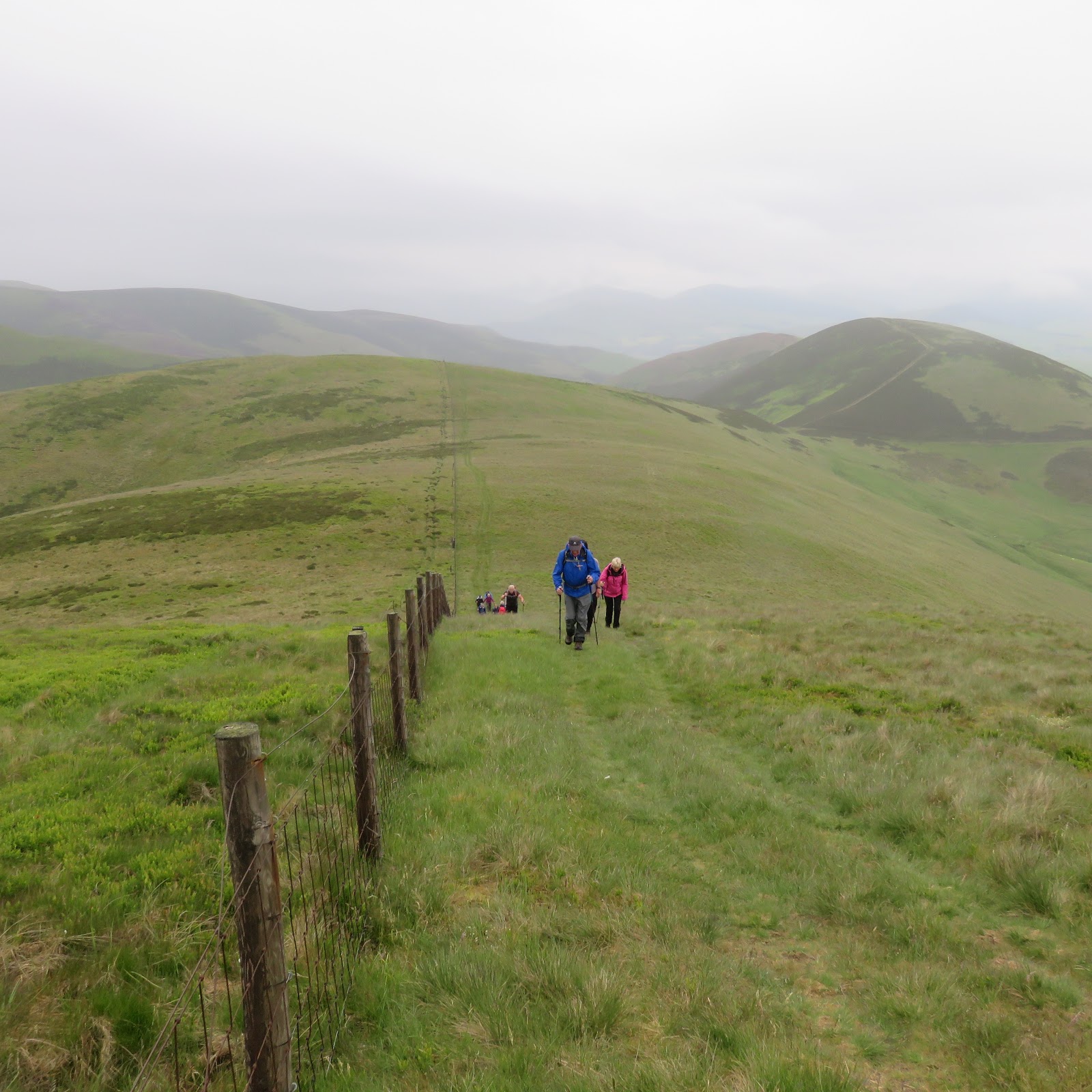
There is a track to follow all the way up, sometimes faint and then lost but quickly retrieved.
Basalt tracks
Just ahead I spot what is a good example of a basalt dyke, two lines of solidified lava running downhill, right to left about half way in the picture.
Last section
A short but steep climb with some narrow ridge walking to add to the fun but no danger today. At least steep the way my legs were feeling, and I arrived at the trig point and first huge cairn and another cigarette shaped trig at 1 hour 50.
Sgurr Dearg
Superb views as you crest the ridge particularly of the Graham Sgurr Dearg with another Graham, Beinn Talaidh far left.
 
View from trig to true summit

Next a 20 minute descent and ascent to reach the next big cairn and the true summit. In some ways the views of Mull are better from here than Ben More. Down below the small ferry is sailing to Lochaline.
Hazy Ben More
Ben More itself standing out. Longer distance still superb but much hazier than 2 days ago.
Time for a ham sannie whilst enjoying the views of Morvern and towards Oban. Then surprised when I felt a sharp pain on my leg, looked down and a bloody clegg was taken a bite plenty of blood. Killed and cream administered time to head back.
Mast on the descent
On the descent the heat was really coming through, glad I wasn’t one those going up. It turned out to be Scotland’s hottest day of the year so far, car registered 28 deg before driving home.
Lismore ahead
A good but not a great walk, not sure if I would do it for a 2nd time.


Time: 4.13hr
Ascent: 2869ft 
Distance: 9.52 

Tuesday 26 June 2018

Stunning Ben More Mull

On a beautiful morning such as this, Ben More (Mull) is as straightforward as a Munro can be.
On the drive along Loch na Keal I was so jealous of the overnight campers waking up to this glorious setting, the water so tranquil that any hunting otter should be easily spotted, but not for me as I was concentrating on finding the parking area. (P.S. the next day we spotted a mother and 2 pups very close to this walks start, 5 minutes of joy).
The start with Ben More in view
I appeared to be the 1st walker heading up the hill today and it was already very warm.
In good visibility it is not a hill to easily get lost on as there is a good substantial track all the way up.
Grassy terrain at first then over the burn where it becomes a progressively stonier track as height is gained.
Small falls
Simply head down and plod on alongside the Abhainn Dhiseig which was crystal clear and I was thinking I might need some of it for hydration on the descent. A nice sound of running water to keep me company.
I spot a couple of walkers behind so not a solo day.
Red deer cooling off
As I climbed I looked towards a lochan on my right and spot objects moving in the water, has to be red deer cooling off, jealous again. Camera was on extended zoom so crap photo but just to prove they were there.
Typical stone track
The wind had picked up chilling my sweaty body, I might even need to put a top on at the summit.
I had a close up of a golden eagle flying past, too quick to get camera out of bag, but it looked as if it had something small in one of its talons.
One of many cairns
There are numerous small cairns on this scree and partially eroded tourist track.
Up the steep final zig zags and I was almost there, a short walk along the ridge was all it took, 1hr 50 very pleased with that.
Clouds circle Coire
The views were truly outstanding in all directions with this perfect air clarity quite unusual for this time of year.
Add caption
At times it really atmospheric as the clouds came in from the west and went through quickly I was slightly concerned it would linger and stop views from the top but not the case.
A' Chioch
What a spot to have my break and just soak it all in. The near side views starting with A’ Chioch down below just breathtaking. 
Coire nan Gabhair with Loch na Keal below
Coire nan Gabhair in and out of cloud. The tops of Fhada, Gabhair and Ghraig prominent. 
Ben more ridge extension and Loch Ba
Further afield, how many mountain tops can be seen, too many for me to count? Just keep turning 360 deg and something else is spotted in the distance, as good as it gets. The Paps of Jura and is that Arran?
Descending views north including Ulva
Sadly time to get back and meet the good lady, stopping for a chat with the half a dozen parties now on the way up. 
Also taking my time to fully appreciate the grand views of northern Mull, Ulva etc, yesterday's hill Beinn na Drise is clear. Ardnamurchan and a multitude of isles.
A fab day with views to remember for a long time.

Time: 4.01hr
Ascent: 3203ft
Distance: 6.2m

Sunday 24 June 2018

Beinn na Drise Mull

Beinn na Drise Sub 2000 424m.
I came across this walk on the Mull Cottages website and seemed a good one to see if my chest infection had cleared, the good lady in tow today.
Faint track after cottages
The start is about a third of a mile north of Lagganulva farm. A short walk to some cottages then up and out over the moors. Some cattle and calves stood their ground as we passed, stares only, a different story on the return.
There is a track for a short while but at this time of the year it disappeared into ferns and bracken.
Route ahead head for the highest point
On the ascent there are small tracks quickly picked up and just as easily lost and found again. More likely to be sheep and deer trails than humans.
I had taken a bearing and we were simply heading in that direction taking the lines of least resistance.
Ulva in background
Worth stopping and looking around as the views were better than the moor straight ahead. The newly resident owned island of Ulva is prominent.
It's off
We surprised a small group of red deer hinds who after a quick look raced away.
After a few false summit’s the trig comes into view. 

Once there it is a proper stand alone hill, the views in all directions are excellent.
Another round trig
 Even at good lady’s pace only an hour 25 to the top. Ben More still has its top in cloud but super views of the rest of the range.
Zoomed in on Bac Mor
In the distance the Treshnish Isles stand out in particular Bac Mor, the Dutchman’s cap. Over towards Ardnamurchan, Beinn Resipol is clear, on my list but not this week, and just below me is Loch Frisa. A large bird can be seen soaring in the distance, too far away to confirm which kind but certainly an eagle.
Hiding butterfly
On the way down a male hen harrier flies low hunting the pipits and larks. A pair of wheatear chased by a raven. Lots of small heath butterflies and a couple of what I think are beautiful pearl bordered fritillary.
Heavy fern growth, Ben More now cloud free
Back the same route until we reached the coos who were fully blocking the path with the calves and were no longer tranquil but agitated, lots of bellowing and movement. We took an avoidance detour just in case. It appeared the farmer was trying to round up some of the herd and the rest were not happy.
A great little Sub 2000 walk which I recommend. 

Time: 3.13hr
Distance: 9.43km
Ascent: 483m

Wednesday 13 June 2018

Two Broughton Horseshoes

Broughton Heights (571m) circular walk including two horseshoes and the other Sub 2000 Trahenna (549m) was today’s high level ridge walk with the KOIR. We packed in quite a few tops today with over 750m of ascent.
Broughton heights peaking thru the gap
It was a long drive for us and we were eager to get going by following the John Buchan Way until we reached the 2nd wooden seat at the crossroads. Time for elevenses and the rain came on. 
Looking back from slopes of BH
Light but low cloud and drizzle accompanied us as we took the left track gaining height before a right turn and followed the fence continued climbing to the trig at Broughton Heights surprisingly quickly.
BH trig
 Albeit with a few ups and downs. Despite the grey weather there were still good views.
Nice but damp walk to Wether Law
From there we continued north across the grassy moorland to Wether Law, cotton grass aplenty.
Brown Dod then Flint Hill
Then turning clockwise to flank the woods via Brown Dod and Flint Hill. Weather still coming and going with the grey matter above descending and rising to block and clear the views, our Scottish weather has returned. From here there is a grand view of the Trahenna horseshoe.
Trahenna horseshoe in distance
On the steep fern and bracken descent a meadow pipits nest was spotted with 4 eggs, hope they survive.
Farm relic
In the field lay this abandoned farm machinery which one of the group with good knowledge reckons it was well over 100 years old, wonder what stories it could tell.
A marshy trek followed heading in the direction of the farm buildings, glad this was the ultra dry conditions as boardwalks suggest hard going in wet times. 
This took us to the next target, another JBW signpost which we left soon after where an ATV track could be seen skirting the worst of the heather before we crossed over a large patch of same to find another track which led up the steep incline to Hammer Head and the fenceline. A good example of 50 steps up, stop for a short breather, look around and repeat until finished the climb. 
Heading up to Hammer Head, Penvalla in part on right
Penvalla can be seen behind but that is for another day.
Looking back if we had continued with the ATV track we would have reached the fence lower but with a better slope to climb but that is for others to follow or not.
HH large cairn
A large stone cairn would suggest that this is the top but you can see the rising horseshoe needs to be followed before it is reached. More ups and downs but the walking is easier and the views are getting a lot better. 
Green view
Looking back the Pentlands are not far away. Tinto back in sight. Moffat hills in the haze and loads of variations of green down below, pleasant views.
Trahenna ridge
If it were not for the GPS the high point of Trahenna is easily missed across the fence.
A good track takes us back down to almost where we parked the cars.

Time:  4.29 including 2 stops.
Distance: 12.5km
Ascent: 755m

Monday 11 June 2018

Beinn Chaorach Glen Fruin

We parked at the Glen Fruin lower road, there is room for 3 or 4 cars across from the gate for the old access road to Auchengaich reservoir.
Two of them on the left the 3rd follow the road just can be seen
On the gate was a warning sign ‘Beware of the bulls’, note the plural. Looking around we spotted 2 off to the side and a third closer to the track. Upwards we went but thankfully apart from lifting their heads to look at us feeding was more important.
Proper start
Once over the road and at the reservoir track there is a signpost for the path to Glen Luss, more of that later. Another warning sign coos and calves, could see them nearer reservoir should not be in our way.
Looking back to start
We immediately climbed the hillside on the right, initially boggy as the coos had been down here to start. Fairly clear going but nettles and ferns are coming through along with more attractive marsh orchids. The Walkhighlands route suggests a NE approach but we just went straight up for most of it before heading NE and it was a steep little beggar. Plenty of stops to take in the views behind as more of Faslane emerges each stop. 
We almost went to the high point of Auchengaich hill (546m) before heading left via a very faint ATV track, across the now level ground, to the cairn at Beinn Tarsuinn (656m) for elevenses. 
Chaorach and A' Mhanaich 
The clouds were coming and going leaving us uncertain for rest of day. At one point even took a bearing of way ahead before the dense cloud enveloped us. Very warm at start but gilet on here to stay warm. Excellent views all around of the other Luss Grahams including our target.
Stay left of fence
A short descent and uphill section, following to the left of the fence and before long we were on the top of Beinn Chaorach 713m, (2.05 hours), the trig on the other side of the fence.
Poser
Initially our plan was to include A’ Mhanaich but that had to change.
The clouds had lifted so we had good viewing ahead.
New fencing on descent just about to drop off
Now we followed the fence and descended gently across ridge until it falls off the edge and goes down exceedingly steeply on these slippy grassy slopes. We stayed on the left of the fence, which has just been renewed, and the top of the posts were good handholds on the descent.
On the way down the route up A’ Mhanaich could be clearly seen, around 350m of ascent, and it looked like this new fence is going to be extended up this also. We could also see a faint track curving round to Glen Luss, the path?
We reached the bealach between Glen Fruin and Glen Luss at the stile but we were heading back to the car. Of the signposted path nothing could be found. 
Burn and reservoir where's the path?
We opted to follow the burn back to the reservoir which could be seen from time to time. The tussocky ankle twisting terrain would have made Dumfries and Galloway proud. After a prolonged wet spell this could be a very different boggy walk.
A' Mhanaich ridge
Still back to reservoir for another break spoiled by the rubbish left behind by people who had had a fire here recently.
Thankfully still eating
Back through the bulls who again were disinterested but large and handsome beasts they were.
Despite the change of plans and enjoyable walk.

Time: 4.10
Distance: 9.7k
Ascent: 650m