Saturday 21 May 2016

Birnam Hill....Kings Seat

Off on my annual 3 day outdoor trip to Perthshire I decided to make a stop at Dunkeld and climb Birnam Hill. I have driven past this hill so often that it it was high time to see the view from the top. It is listed in the book 'The Hughes' Scotland's Best Wee Hills under 2000ft.

Most of the walk reviews I read start the walk at Dunkeld railway station but I decided to start my circuit at the quarry car park on the Bankfoot road, B867. There is parking for about half a dozen cars and two slots were already taken.
The skies were blue, warm down here but I could see the trees blowing about on the slopes. Still a hardy Scot, shorts on, jacket off away I went. 

There is a tourist notice board but it would be pretty hard to go wrong on this walk. Go under the railway underpass, I know it is the railway as a train passed overhead as I walked through, lots of noise. Almost immediately there is a good view of the flanks of Birnam Hill. Choice turn left to start the walk clockwise or keep following the level path to go anti clockwise. From my experience the clockwise option is an easier more scenic walk but it's your call.

I chose clockwise and a steady climb up a good path with magnificent golden orange ferns beginning to uncurl, a great natural sight.

At the signpost for the Stair bridge viewpoint take the detour as it is only a short way and if the light is in your favour there are excellent views to the south and on Rohallion Loch I could see a boat with a couple of anglers. I think that there is an option to continue on this path to another hill but I did not have my OS map so decided to not take a chance. The landscape after Stair bridge has been deforested and not overly attractive.
I retraced my steps and started climbing again and met a guy walking down but all he wanted was a quick hello and quickly past by.

The track had now opened out with good views and a pair a black headed gulls flew over me a few times. I wonder if a nest was nearby? The track zigzags up the hill. Still on a clear track I reached a slight decline and thought I saw a head move in a hollow. Intrigued I moved forward and met a Canadian lady with a very young tot and a small boy. We chatted for a minute and on upwards I went up some pronounced steps where I met her husband and older boy descending. A brief chat about the beauty of Scotland and then up a bit higher and I reach the summit which has a very big cairn which you can walk into.

Good views towards the west with Schiehallion prominent but the inevitable wind turbines spoiling the view.

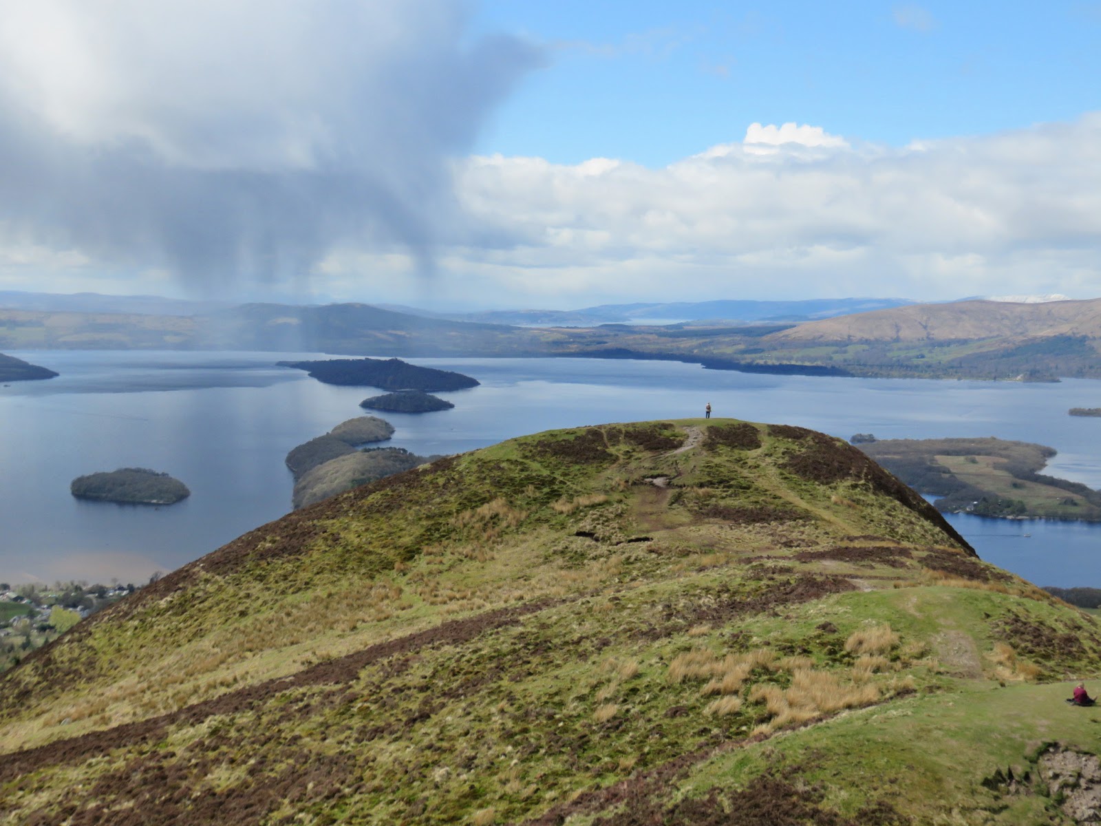
It was a strong cool breeze and not great for my lunch break so I didn't linger long and followed the track downwards. Before too long I reached some slabs which had super views over Dunkeld and Birnam, the River Tay and east to Blairgowrie. An ideal spot to have my sandwich and just enjoy the view.

The descent takes you through the natural forest and is quite a steep descent with not a lot to look at. Clearly this would be a bit of a slog as it remains this way until I reach the track with the signs pointing me to the right to get back to my car.

It is now about a miles walk, still in the forest with the A9 for company for a while. It is a mile from this spot back to the car. I meet the Canadians again and apart from the single guy earlier they were the only people I saw today. The walk distance was 4.17 miles with 1096 feet of ascent. Including lunch it took me 2 and a quarter hours which was fine for me. Fine views including a good contrast between the flatter southern land towards Perth and the northern mountainous region you are now entering.
I think I have earned a big slice of carrot cake at Faskally cafe in Pitlochry.


Wednesday 18 May 2016

Holy Isle...Mullach Mor

Holy Isle profile
There is a local saying here that if you cannot see Arran from our beach it is because it is raining and if you can see Arran it is going to rain. Obviously not always true but when I look across the water and see Arran I can also see the Holy Isle which sits just in front of Arran on its western coast.
It has been on my bucket list to get onto the island and walk to its summit, Mullach Mor, and hopefully look across the water to my home. The summit is categorised as a Marilyn, a sub 2000 hill.
Holy Isle from Lamlash Pier
It is not as easy as it sounds to get to as the island is privately owned. It is a Tibetan Buddhist retreat and is officially designated as a UK Sacred Site. It is a Centre for World Peace and Health. The island has introduced Soay sheep, Saanen goats and Eriskay ponies.
The owners will allow walking visitors subject to certain conditions. No smoking, drinking, dogs, fires etc. Probably swatting midgies not allowed either.
The island of Arran has an annual mountain festival and this was its 10th anniversary. One of the group walks was this one to the Holy Isle so I took the opportunity and booked up as soon as it became available this year. Fingers crossed that the weather was good enough to see across the water, the last 2 years this would not be possible due to atrocious conditions.

After a great weekend, mainly clear blue sky but chilly wind all weekend the day arrived for my trip with a forecast of cloud but reasonable temperatures and only a small chance of rain. My trip involved by driving to get a Calmac ferry at Ardrossan. A problem that I encountered when I arrived was that every other sailing was cancelled so my only return option was the last ferry of the day, hope I don't miss it. A 50 minute smooth crossing got me to Brodick on Arran where the group were bussed to Lamlash to get the ferry to Holy Isle. My surprise on meeting the group was that I was the only guy on the trip, didn't expect that. I usually walk solo or with maybe one other so a dozen or so people was going to be interesting, at least one of the trip guides was male so two's company.
Ailsa on horizon
I was delighted to discover that our ferry was to be a fast rib boat, a bit of fun expected. The normal ferry is a lot slower. As we had time on our side the rib, ran by Ocean Breeze, took us a full tour around the island, stopping to point out some highlights, animal and geological. Great fun especially when he increased the speed into the waves. 
After our island circuit we dropped into the jetty and we all made it ashore without falling in. A welcome noticeboard plus an array of Tibetan prayer flags adorn the field. There is a large building which is the guesthouse and a small building which operates a cafe but only open on certain afternoons in the summer season.
Lamlash bay & Goatfell
Look out for the common gulls on the rocks right beside the jetty sitting on eggs and hopefully no high spring tide to wash their nests away.
From this point the walk goes clockwise up through a field then through a short wooded section before coming onto open moorland. Then you start climbing up basically through the middle of the island. The eastern side is basically left natural for the wildlife and there are no paths on this side and walking here is not welcomed.

The path is narrow and gravelly, loose stones, so walking with care. A pair of meadow pipits fly upwards together, squabbling, having a territory fight, delightful. A cuckoo is heard calling.
We reach a high point just below Mulloch Beag 314 metres, with tremendous views of Lamlash Bay. Because it is a guided tour we are given an overview of the work of COAST (Community of Arran Seabed Trust) and the benefits to the sealife that this has had, fascinating and keep up the good work. Not so attractive is the salmon fish farm tanks. Looking down to the jetty and the rib far below you realise you have climbed a fair bit to this point.

At this ridge there are stunning views of the mountains of north Arran, dominated by Goatfell. Further afield the Arrochar Alps and Ben Lomond are prominent along with the Cumbraes and northern Ayrshire coast.
Mullach Mor summit
The route dips down a bit before climbing to the narrow summit of Mullach Mor, a trigpoint with some Tibetan flags for colour.

We stop for lunch and I sneakily eat my pork pie as eating meat here is one of the no goes. I now have full views all around including Ayrshire and the southern coast, Ailsa Craig and southern Arran. For a small hill it does not get much better than this. We spot the medivac helicopter landing on Arran, possibly not good news for someone. Prawn fishing boats dot the sea and the fishery protection boat is also present. A line of gannets fly low heading back to Ailsa Craig.
The descent
The descent from the summit going towards the lighthouse is a bit tricky, some minor steep scrambling is required and this could be tricky on a wet day. We pass the plateau where breeding gulls are sitting on their nests and the goats feeding a short distance away.

A raven flies over being mobbed by some gulls. We saw plenty of the Eriskay ponies from the rib when circling the island but few on the walk itself.
The second lighthouse, Pillar Rock, now comes into view. There cannot be many islands as small as this with two.
Pillar Rock lighthouse
Still descending you now get sight of some homes built into the hillside, these are to your right, as always the chiefs seem get the better accommodation. The nuns retreat beside the lighthouse is strictly off limits.

The remainder of the walk is about a mile along the shoreline with 6 or seven stones with elaborate paintings of real and mythical figures important to this religion. Apparently they are repainted circa every 10 years when they have faded. There are small natural tree plantations developing well.

A common seal rises close in and seems to follow us for about half a mile.
The last attraction is St Molaises cave where there are scratchings on the cave walls apparently Norse/Viking runes, plus a large Celtic cross. Amazing to think these pilgrims/warriors stood on this very spot.

A short walk brings us back to the jetty and the rib back to Lamlash. About half way across the rib goes into a fast sharp turn cutting back across its own wake for a bit of bouncy fun to finish the day.
I will be on time for the last ferry home, a long but enjoyable day. And even time for an unhealthy fish supper whilst I wait on it.
I'm really pleased to tick this one off and I suspect I might repeat it in a couple of years. According to my GPS the walk was only 4.2 miles and we climbed 1090 feet.

Friday 6 May 2016

Cairn Table


I have driven through Muirkirk countless times on my way to England, usually very early morning and late at night, mainly on business and as I drove through I looked up at the cairn (see later) and thought one day I will climb you. Well today was that day. Because of other plans and the weather it could only be today this week. The forecast was still for strong winds but it should be dry. Sadly Mrs could not join me as planned due to a sore back.
As I drove to Muirkirk the roads were wet, recent rain showers, and the clouds were scudding overhead, fast, grey and low. However, as I neared the start I could see the cairn at the top of the hill, at least it was not covered in cloud, a good omen.

Being a prat I had forgot to pick up my guidebook but I did have my OS map. I recalled from last nights read that you could start at Kames. I pulled in to the lay-by and expected to see a board map which I remembered reading about last night. There were plenty of boards about the history of the village but none about the walk. Mobile out but no 4g signal so no Google checking. OS map suggested a parking place nearer Muirkirk so off I went and found a starting point with a board map, as above. When I read the book later you can start at Kames after all.
With the wind howling I put on my over-trousers but decided no gaiters.
Danger
Off I went up the path, over a stile and you quickly realise you are walking on old coal mines. There are frequent points fenced off where old mine shafts or landslip has opened up the ground. Then you look around at the grassy hollows and think wow, stick to the path even though some of these openings are very close to the so called path.
Quickly you are only aware of yourself, heavy breathing, and the sound of the moorland birds. A peewit flies past, glorious fliers and a beautiful sound. A sand martin, my first of the year also.
Typical terrain
Now I was getting a good view of the hill and the path appears to follow a stone dyke/fence line, useful if the weather deteriorates to find your way back.
The good path soon deteriorates into a boggy section where you just have to watch your feet. There is wooden boarding dotted about indiscriminately but these are often surrounded by a gloopy mass. At one of them I put my walking pole in to judge the surface and it went in over half way, at least 3 foot of whatever. I would not want to clean or smell anyone going that deep in that.
However, the walking continued with the birds singing. Skylarks, meadow pipits and more Wheatear than I have seen for a long time, as well as menacing big black ravens gliding low over the heathland looking for the nests of the aforementioned. I read recently that ravens have been a success story but the effect on other animals including sheep is concerning.
Mrs Red Grouse
In one of the small waters there is a full sheep's head with its bones lying nearby stripped clean. It makes me think as I do fill my water bottle up from time to time in hill streams, nasty tummy bug at best might await.
I here a familiar call and a male red grouse appears closely followed by a female. I tried to get a snap of the male but he was camera shy and only the female posed for a few seconds. Got a few more sightings of these as I went up the hill, the OS map does have grouse butts, not sure if they are active.

The path is now rocky in places and I reach the false cairn. Looking back I spot another walker but a long way back.
Cairn Table memorial & trig
For the last stretch I have to pull my hood up as the wind is strengthening and cold. The path is rocky but good and I make my way to the huge boulder cairn and the trig point set apart. On a separate knoll lies another large pile of boulders but not formed. The cairn has a plaque and I remember that this is a war memorial and not the actual summit. Grand indeed and a fitting memory of the local people who died in the Great War.
Memorial
I had a short wander about the top, enjoyed the view but the wind was brutal. There is a good marker with all the notable views that can be seen but not all today. I could just make out the Merrick, some snow still on its northern flank. Tinto summit was in cloud and it looked like this hill might be as well so soon time to head off. Firstly grub time and I sat behind the memorial and had my sandwich, eaten quickly. Just as I was leaving 3 walkers appeared from the Kames carpark so not all alone on the summit.

It is amazing how much better you pick your line on the way down and I managed to miss more of the boggy stuff. I passed the other walker that I spotted earlier but he clearly did not want to chat so onward downhill. The wind was now actually worse, right in my face and I was getting very cold hands.

Still a quick descent and before I knew it back at the carpark. My Tom Tom watch GPS said 4.92 miles and I was up and down in 2 and a half hours. The OS map has the height at 592 metres, a sub 2000 category. No hill is a bad hill and I would return on a better viewing day as there is undoubtedly better views than I got, but mine were still good enough.

Sunday 1 May 2016

Conic Hill...superb views

Ben Lomond from Conic
My original plan was to tackle a Munro today, Meall Gheordie near Killin but with the recent weather I thought that there would be too much icy snow to be safe. Plus the MWIS website forecast -4 degrees at the summit, too cold after the Tenerife sun.
Conic Hill
So plan B drag Mrs B up a small hill. I had been given  the book titled 'The Hughes' for Xmas, basically Scotland's best wee hills under 2000 feet. Mrs B will try these but no longer wants the full on hills. I chose Conic Hill at Balmaha which I have seen many times but never took the opportunity to climb. 361 metres just fine for her.
We arrived at the car park which was already about 2/3rds full, all the weekenders were out to enjoy themselves.
Track leading to viewpoint
There is no real route navigation required as most of it follows a section of the West Highland Way. There was some sort of race on today, apparently following the first section of the way from Drymen to Tyndrum. from the look of some of them it could be a long day but good luck to them.
Started the GPS and off we went. A pleasant short forest section with plenty of birds singing encouragement and sunlight coming though the tall pine plantation.
Then a section of steps and a short haul brings you to your first viewpoint over Loch Lomond, the Luss hills, the Arrochar hills and snow covered Ben Lomond's summit peaking out. Looking at the amount of snow on the Ben I was glad not to have pursued the Munro option.
Luss Hills
At this point you can see the trail going up and there are a lot of people around, the shops must be empty today.
On the way up I hear my first cuckoo of the year and indeed it continues calling for a partner all the way up.
Fault line Loch Lomond
Easy walking up a clear track brings us to a cross section. Straight on is the West Highland path but upwards a track goes, caution required as lots of loose stones and gravel brings you to a top which had about a dozen or so charity walkers congratulating themselves.
Shower misses us
The views are superb in all directions. You have now added the Campsies and looking eastwards to the Ochil's. More charity walkers arrive and some looked distinctly weary. I suggested to my wife that maybe we should tell them they had not actually reached the summit. I was told in no uncertain terms that this would be out of order. You are now standing on the fault line and you can see the fault continuing through the Loch Lomond islands, all clear to see.
Luss hills
The real summit is two small hills away. There is only a faint track so clearly most people don't realise and make the effort. On the second knoll there is a small pile of stones, the real summit, only by 3 metres but this is it. We sit and have our lunch, fancy term for sandwich and cake, taking in and enjoying the superb view, also watching the predicted rain sweep down the loch but not touching us. It was not due to appear until around 3pm but early. This summit also gives you a clear view of the West Highland Way, plenty of people can be seen but if they are just starting the full route it will be a wet and cold week ahead.
The real summit


We decided not to retrace our steps but instead take an easy clamber through the heather to join up with the West Highland Way path. On the way down there is an option to take a slight detour from the first viewing place but the hail showers had now reached us so we just stuck to the path.
Rain getting closer
Although this is a fairly straightforward hill it is still amazing how many people were ill dressed if the weather changed, which at had at times, as we descended. Not just clothing but footwear.
I was delighted we did this excellent little hill, the views are magnificent, once again proving height does not mean you need to go to the highest to get the best views. You could easily do this in a couple of hours so give it a go.