Sunday 30 June 2019

An electrifying day on An Caisteal

Hill: An Caisteal (The Castle 995m) & Beinn a’ Chroin (Mountain of the Sheepfold 942m)
Category: Munro
Once again the weather gods decided to do a U -turn for our Saturday walk. The last few days have been gloriously clear blue skies and very warm. Today there was a weather warning for potential lightening mmm!
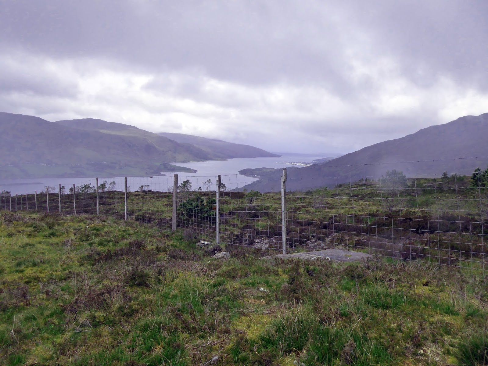
As we left the parking area at Glen Fallon it was already muggy and threatening. We followed the newish dam path until we reached a locked gate with the steep grassy slopes of our initial target, Sron Gharbh, in clear sight. Over the fence we turned off the track to our right, up the faint muddy track.  
Looking back to the start
Initially it was gentle climbing but it soon steepened, the chatter was less and the breathing heavier. Looking back good views back to the start.
However, as soon as we crested the ridge the weather changed dramatically in seconds, as the storm winds blew the clouds and rain through. The views well and truly gone although as we walked it came and went. 
Cloud clears briefly to quickly snap the ridge
We followed the good path to Sron Gharbh getting occasional glimpses of the Twistin Hill. Up and down, the occasional hands on uphill scrambling until the short downhill section at the cleft. 
The cleft
The cloud limited the views but clearly a big hole, not advised to fall into.
The one disadvantage of the heavy cloud is that every small top is another false dawn as the next one can then be seen in the gloom ahead. 
Rock Castle
The rock castle  was scrambled straight up. However we get there and have our lunch break sheltering just off the summit of An Caisteal at 995m.
Amazingly it was similar to last week on Bidean, as we ate, the cloud began to break and we got the stunning views. But, the weather front was on its way in big style.
Ben More & Stob Binnein
The views from here were full on 360 degree, all the Crianlarich and Tyndrum hills. A number of the Arrochar alps and Ben Lomond in isolation. Quite spectacular.
Tyndrum Hills
It was now good to see the route ahead as we descended towards the Bealach Buidhe, more minor scrambling en route. A couple of young runners came past, one a girl in a short sports dress, interesting hill attire. 
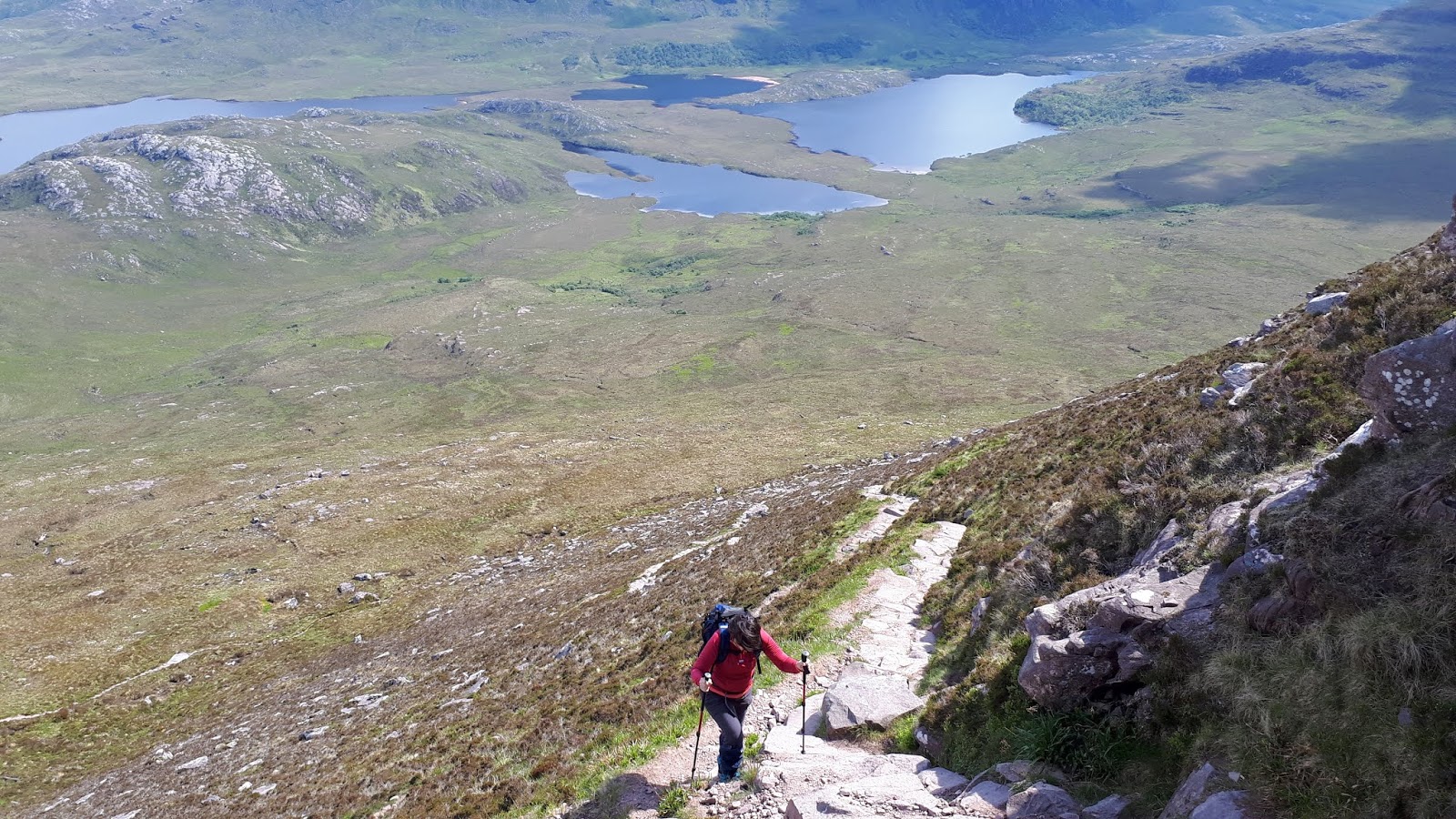
The path winds steeply up the flanks of Beinn a'Chroin, some steep drops might unnerve some. 
Bad step
Now we reached the ‘bad step’, Storer describes the technical term as ’manky thruthes’. Not really a step, more of a very short scramble but very awkward. Particularly if you have short levers like mine. The smoothed rock offering little finger holds so knees used but all made it. 
Dramatic skies over Beinn a'Chroin
As we progressed to the tops of Beinn a’Chroin thunderclaps were loud and very close. Impressive grey sky patterns. We did go to the second top (942m), the acknowledged true summit.
We omitted the East top to get off the ridge just as the thunder was accompanied by lightning. 
Electric charge in the (h)air
One major flash and the electrical charge was felt by some of the group, indeed the hair of one of the party stood on end and she felt it. More of the group said likewise.
Looking down the descent Coire Earb
The problem with big Munros is usually the long steep rocky descents and this was no exception. Speedily we descended as the thunder and lightning continued. In the dry it would be a good track but not today. Very wet and slippery rock meant full on concentration until with relief the boggy grassy flats were reached.
Now into Coire Earb proper and the extremely boggy and wet trudge back to the dam where we met the track to walk the mile or so back to the parking.
Another excellent walk with Ayr and District, stunning views at times and with that weather a walk some will remember longer than others.

Wildlife: Meadow Pipit.
Time: 6.15
Ascent: 3001ft (1153m)
Distance: 8.68m (15.4km) 

Thursday 27 June 2019

Cairnsmore of Fleet and my first Swifts of the year

Hill: Cairnsmore of Fleet

Category: Graham/Donald

Height: 711m

An excellent walk over Cairnsmore of Fleet with the Ayr OIR. 

The weather alternated between cool and very warm, clouds built up and threatened to drop their loads but thankfully none came our way.

Cairnsmore of Fleet is just outside Newton Stewart. A straightforward walk but as an isolated hill it has superb all round views.

Heading into the woods
The initial stretch, ascending through the woodlands of Bardrochwood moor was warm and clammy, beasties flying but a cool breeze kept most at bay. A good track all the way and before long the open moorland of the hill was reached.
Good track to summit
The eye could see that the good track continued up the hill. Stop to take in the superb views behind. 
Wigton Bay
The tide was out and the sands of Wigton Bay stood out. Further on the Mull of Galloway stretches out to the sea and the coastline of Northern Ireland just in view. Magnificent.
Galloway hills behind trig
On towards the top, path more boggy but no problem and then the memorial cairn to the 9 aircraft crashes on the hill. Cool now, a good time for a sheltered lunch and take in the views of the Galloway hills. Good banter with the usual name that hill quiz. As we lunched half a dozen swifts twisted and turned after their lunch, my first sighting of swifts this year.
Cairn 2 ahead
After lunch we wandered over and past the ‘Spout of the Clints’ where a small herd of 5 wild goats was spotted running towards, never to be seen again.
Goats disappeared down there

Dick collecting his flock

The secondary cairn is huge, dated from the bronze age is at 656m, standing above the Knee of Cairnsmore.

Descent
We descended down the rocky flanks of the ‘Door of Cairnsmore’. Full concentration every step as these slopes were littered with heather and grass hidden holes, capable of damaging an ankle or worse. Glad to reach the rough path that could be seen from above.
All safely down
As we headed back to the woods I spotted two beautiful Red Angus cows looking at us, quite far away on our left. Then they started coming closer. Not curiosity as they broke into a run and they were quick. Looking to our other flank the rest of the herd were grazing uphill. Thankfully the two ran across our path to rejoin the others without running us down, exciting times.
Pearl bordered fritillary? (if so rare butterfly)
A very good walk, enjoyed the chatter and the company, all good on a fine day.

Wildlife: Wild goats, Swift, Skylark, Meadow Pipit, Buzzard, Crow, Orange Tip, Meadow brown, Grayling, Pearl bordered fritillary.

Time: 4.39

Ascent: ft (m) 2377 (767m)

Distance: m (km) 9.36 (15.3km)


Monday 24 June 2019

Short walk, great views Meall Mor Rannoch

Hill: Meall Mor Rannoch Moor
Category: Sub2k
Height: 492m

On my way to Fort William for the ADRC walking week I decided to have a short leg stretcher on the way up. I have had this on my mind for ages so today is the day.
It is only short walk back from the parking area and then across rough moorland.
I had previously read about the memorial cairn as well as the excellent views for not a lot of effort.

As I came through Tyndrum the rain came on and I thought this wee walk would not happen. After all it was just to be a leg stretcher in good weather not full on walking gear!!
Meall Mor from parking area
However, when I reached the lay-by the rain was off, so boots and gaiters on, rain jacket as well, just in case but travelling light.
Thankfully the grand prix driving on the A76 had passed by and I crossed the road safely.
The short hill of Meall Mor is directly ahead. For the first two hundred metres or so it is wet and boggy, just wade through it.
Use the rocks for easier walking
There are many tracks crisis crossing but I suspect these are deer trails, not enough humans trek up here, but they guide you along. The terrain is typically moorland with lots of tussocks.
On the slopes just pick a line and go for it. There is a rocky thrust that I followed on and off, much easier walking on the stone.
Some very good views already over the lochans looking over to Perthshire & Schiehallion’s obvious peak in the distance.
Looking across to memorial cairn
Before long the high point cairn is reached and over to the north there is the well constructed memorial cairn which the following tells the story.
View over Rannoch Moor from memorial cairn
Text from Geograph internet site.
'IN MEMORY OF
RONALD HARVEY
WHO DIED DEC 1 1962
AGED 26
The following are the words inscribed on the plaque attached to the cairn:
WE CAST HIS ASHES TO ROAM
IN THE WINDS OVER THESE HILLS
WHICH HE KNEW, LOVED AND ROVED SO MUCH
WE LEAVE HIM TO TRAVEL ALONE
THE PATHS WE TREKKED TOGETHER
HE SHALL BE WITH US WHEN WE RETURN
THE ROAR OF THE STAG
THE CRY OF THE BIRD
THE SIGH OF THE WIND
SHALL BE HIS CONSTANT COMPANIONS
HIS PASSING
HAS BEEN THE SUNSET OF OUR FRIENDSHIP
I was contacted in December 2009 by a site visitor who gave me the following information:-
The Ronald Harvey Cairn was made by my grandfather Joe Howitt along with Jim Harvey. There were five climbers but there is only one left.
His grandfather would appear to be the only surviving climber and visited the cairn regularly to maintain it but he has not been there for four years due to failing health'.

View towards Glencoe
Excellent views despite the rain coming in from the west.
In this isolation I was surprised to see another walker appear from behind. A brief chat interrupted by the rain.
I headed back down the same way to the car. Found a meadow pipits nest, only wildlife seen.
An hours exercise, great views and a warm up for tomorrow's biggie.


Wildlife: Meadow pipit.
Time: 1.02
Ascent: 224m
Distance: 3.2km

Sunday 23 June 2019

A fantastic high level Glencoe ramble

Hill: Bidean nam Bian (Peak of the mountains) circuit including Stob Coire Sgreamhach (Peak of the horrible Corrie)
Category: Munro
Height: n/a
Route up between The Sisters heading for Stob Coire nan Lochan (middle)
It was with great anticipation that I started today’s walk into this impressive and somewhat daunting landscape. How many times have I parked in the Glencoe car park and looked at this scene and said ‘must do it‘?  Storar says that the big Buachaille is the scenic icon but Bidean is the supreme hillwalkers mountain.
Well today was the day. No Japanese tour buses taking photos of me departing!!
Follow the burn
Our small group left in sunshine and followed the excellent trail up into Coire nan Lochan, following the burn, heading for the great buttresses ahead. The feeling of immersion as the great cliffs narrow in. The burns crystal clear waters utilised to replenish the water supplies further up. Not always recommended doing this but done me no harm so far. Plenty of small waterfalls to admire.
Aonach Eagach ridge
Looking back fantastic views of the Aonach Eagach ridge, lower down I made out a solitary figure heading along, one day maybe.
First obstacle about half way up was a smooth rock descent, easy enough but the first of many hands on scrambles today, some more challenging than others.
Falls
As we reached the lochan under the buttresses a waterfall was in full flow, as was the weather. The sun lotions were forgotten as the rain arrived. Wet gear donned including gloves for me as it had turned decidedly nippy.
The good NTS track has now disappeared. We took a right (west) and after heading up some grassy slopes found the marker cairn.
Example of the rocky scramble
Now we were well into the cloud (we entered it circa 900m) we had a prolonged period of pathless rocky scrambling.
We came over from the left
At one point we were only about 10 yards left of where we should be and a huge drop appeared. Wow that was close. A short detour and we could view the drop, albeit in cloud, a timely reminder. On the other side a brief and welcome glimpse of Glencoe below.
We continued the circular rock scramble to arrive right at Stob Coire nan Lochan (Storar says it is the finest of Bideans peaks, need to take his word for that). After all that effort it should qualify as a Munro. From the reading I had done beforehand the extent of the prolonged rocky scrambling was a surprise to me.
Still not too far to the first one proper. The cloud protected us from the views of the ascent ahead, despite scrambling a looming mass could be seen up there through the greyness. Glad we circled around and up the last bit to reach the summit of Bidean nam Bian.
Cloud starting to lift
This is the highest point in Argyll and just as we reached the cairn, the clouds were occasionally parting to give us fleeting glimpses of the superb views. As we lunched it started to lift properly and we could enjoy the views we had worked hard to get. The ridge ahead now clear so we can see the route towards Stob Coire Sgreamhach .
Looking down to The Lost Valley
It was a leisurely stroll along the ridge taking in the views of the big drops down into Coire Gabhail and The Lost Valley beyond. Also out towards Etive, plenty of big hills.
Back to Bidean
Looking back we have a clear view to Bidean, quite superb. Quite a few walkers around, few came our route.
Stob Coire Sgreamhach ahead
Although the climb up to our second Munro looked quite steep from here we accomplished it in good time. 
Light and darkness Loch Etive
More views to enjoy but the clouds are lowering again, a clear high front over Etive and low pressure just above.
Now the dreaded descent off the bealach. The chute is fully eroded at the top section so no option other than to take the steps to the right before rejoining the chute. It was one to go very, very slowly, full concentration on each step. Lots of loose rocks and still very steep. Thankfully better stepping stones are reached and a path evolves.
Scree slopes descent to The Lost Valley
Whilst taking time to regroup the midges decide to assault us, no Donald Trump Iran reprieves here, and they were biting. The smell of insect repellent now strong in the air.
When we arrived at the flat area known as the 'Lost Valley' the tourist walkers from the car park were out in numbers. The valley was used to hide rustled cattle by the Macdonald's of Glencoe but god only knows how they got them up here in the first place. The section up from the River Coe and up the burn is a steep and rocky section in its own right.
A short stream crossing takes us into more bouldery terrain, easy to lose the path here. More short scrambling, found it again, and down the path to the final wet rocky section where a wire hand hold has been erected, helpful it was too.
Glad to be back at the car park, it had been a long walk out.
Stunning day with good company which helped the walk go by. One of the bucket list.

Wildlife: Raven, Meadow pipit.
Time: 7.55
Ascent: ft (m) 1422m
Distance: m (km) 13.8km

Thursday 13 June 2019

Moorland wanderings to Beinn Eilideach

Hill: Beinn Eilideach (Ullapool) 
Category: Sub2k
Height: 558m
I had planned to walk Cul Mor today but on wakening the clouds were very low and the outlook gloomy and wet. As the good lady was having a morning spending her cash I decided go up Ullapool’s Sub2k Beinn Eilideach, a reasonably high one, the top of which I could see from our window. Not that it remained that way lol.
Start and destination behind the trees
The most obvious route is from Ullapool Hill but as I had been up there earlier this week I decided to walk it from the other side and an adventure that turned out to be. 
As regularly happens getting started on these Sub2k's is an issue. There is a zig zag path on the map that I planned to follow but I could not get parked anywhere close so started about a mile further down the road at a single parking slot near Leckmelm House.
Deforested trail
As I walked from the car I could see a deforested section ahead with the tracks intact. Decision time should I follow that or continue with longer trail, right direction, wrong move.
Follow the fence to the summit, no the gorge is right here.
After getting above the deforestation I met a deer fence, a very tall one. I wanted to go left to head up the hill and followed the fence to find a major gorge, no way I was going down that on my own. And yes it is on the map but I hadn't looked that closely as I didn't expect to be walking from here. I thought about climbing but it was not solid so passed on that not so smart idea.
So, I went back along the fence, going was ok, to hopefully meet a track on the OS map but much further away from the hill. Wishing now that I had went back up Ullapool Hill. Plenty of deer barking warning calls and I spotted over a dozen roe deer on the walk.
Glad to find this stile.
I came across a stile at the junction with another deer fence heading north so over I went and followed this until it meant the aforementioned track. A female cuckoo was being harassed by pipits as she searched for their nests.
I joined the track briefly before taking a bearing and headed across the moor in the general direction of the summit, still looking a fair bit away.
The start of the rock thrust
A typical wet and boggy moorland stomp until I reached a rock thrust which used for easier walking to the top. A lot of ups and downs today will add the overall ascent.
Big top surprise, hold a party in here
There is a surprisingly large cairn surrounding the hill but sadly no views of Ullapool down below as the cloud quickly lowered itself and the rain started, heavy showers for rest of walk. The actual summit is short distance away towards Loch Broom.
Loch Broom heading out to sea
I retraced my steps, scared more deer, struggled over the deforestation and made it back to the car. Loch Broom occasionally showing itself in the gloom. No cuckoo maybe it had laid its egg(s) and headed off back to the warmth of Africa, job done.
Bright fungi
Saw these bright mushrooms not a clue what they are but they stood out.
A wet leg stretcher and a bit of exercise but one I doubt I will repeat.

Wildlife: Roe deer, Cuckoo, Meadow pipit,
Time: 3.10
Ascent: 626m
Distance: 10.4km

Tuesday 11 June 2019

At long last the iconic Stac Pollaidh

Hill: Stac Pollaidh
Category: Graham
Height: 612m
After my troubles on the Fannichs on Saturday, yesterday I had my little walk up Ullapool Hill, still with some discomfort. 
It looked like today was going to be the best from the weather gods so with a little apprehension I decided to test it out on something a bit more substantial.
The car park was already almost full before 9.30 but we squeezed in. The good lady was originally going to walk round the hill but decided to summit. Good on her but that will be the knees gubbed for the remaining days.
Stac Pollaidh
The path climbs uphill through shrub and young woodland, a chiffchaff singing beside us, as soon as camera appeared it disappeared. Midges attacking immediately from the carpark until the open moor.
The new path is excellent as it climbs and zigzags around our ascent, the right flank of the hill. The old path headed straight up the face of the mountain, much easier this way.
As the good lady is a touch slower I had the time to stop and enjoy the views of Sgurr Tuath, Loch Lurgainn below us, and of Cul Beag to the east, both hills look imposing.
Good track
I was walking gently but no significant discomfort so far. Two blackbird like birds took off from the heather and headed up to the crags. I had no binos but pretty sure they were ringed ouzels, if so a good rare spot.
Suilven & Assynt landscape
As mentioned the new track goes round and behind Stac Pollaidh on a good walking gradient. 
Steep but straightforward ascent
The next section climbing to the ridge is excellent but it is steep so again plenty of stops to take in the magnificent views. No hardship, not a hill to rush on a day like this. 
Cul Beag behind
Nearby Cul Mor is in view across from Cul Beag and what can you say about the views looking north including Suilven, that's braw.
Looking down on the good lady
Breathtaking views from the ridge, this is as far as the good lady was prepared to go but I took in the nearby east ridge with a short hands on scramble, where the views opened up even further. I called down to the good lady to ascend but she was not for budging. 
West ridge
After that I explored some of the west ridge, some easy and fun scrambling but the final sections are not being undertaken by me today, too old for that exposed climbing.
View north from East ridge
There is an obvious trail to follow contouring the hill to descend to the circular path without retracing your steps. The views continue with a clear sighting of the entire Western Isles.
Looking down to the start
We also spotted our one and only red deer which stared at us from a long way away, thought we might see more.
Cuckoos called from start to finish, although they would have moved about I reckoned at least three male birds.
Lots of mountain flowers and nice to see some marsh orchids in flower.
After that we headed along to the coast and had our snack at the beach of Achiltibuie where I got an excellent sighting of a velvet Scoter, this time via the binos for confirmation of my eyesight.
An excellent walk, relatively pain free, stunning views this is Scotland at its best.
PS: The village shop/petrol station in Achiltibuie has the best homemade brownies (by Lindyloual) we have ever tasted!!

Wildlife: Red deer, meadow pipit, cuckoo, raven, ringed ouzel (?), velvet scoter.

Time: 2.58
Ascent: 1657m 
Distance: 2.8m