
My expectations were that this was going to be a straightforward smallish hill with attitude and good views. It was, but it turned out to be a lot more adventurous than my expectations, all my fault of course.
I am using the 'The Hughs' book as this years walking guide and too be fair I have discovered some hills and landscapes that I would have passed by.

From my holiday spot in Pitlochry I drove the short distance to the starting point at the Cally carpark Dunkeld. However, I was to follow the A923 which had a road closed sign just by Dunkeld, diversions in progress and two cars three point turning as I arrived at the turn. Not knowing how far up this road the carpark was I was either brave or foolish, but went through the closed signs and found the car park only about 100 metres ahead, good.
A very bumpy quarter of a mile drive, got parked, only car in situ, got gear together and wandered down to signposts which as you can see there are a few paths around here.

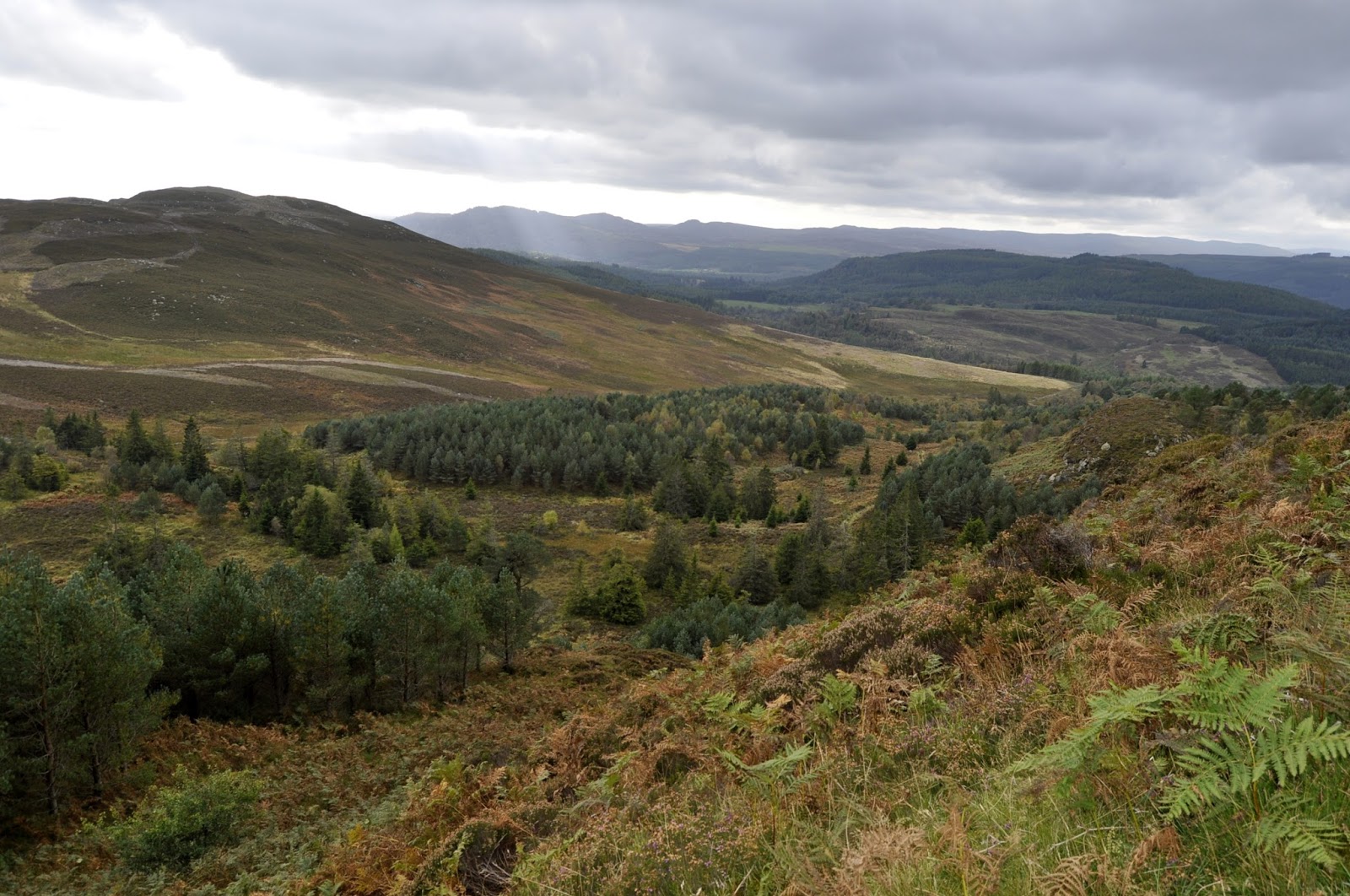
Onwards up the Mill Dam track I went, in good fettle, taking in the changing Autumn colours of the countryside. The guide told me that at Glack kennels go through a metal gate. I reached a big metal gate, sign Glack kennels alongside attached to the fence, so through I went. Yes you have guessed. After a mile and more of steady climbing on a newly laid forest track I was doubting myself.
 |
| Wrong track
It just did not seem right. I had not brought an OS map as I thought it would be straightforward and the book had a small map, big mistake. Luckily the phone had a 4g signal in the middle of a forest, surprising as it doesn't have one in Pitlochry!! Google maps confirmed I was in the wrong place although a faint track might have joined up. Not taking the risk as this was a newly laid forest track so back I went.
|
Onwards I went hearing dogs barking in the distance, the kennels? The track is good and I went by Upper Hatton and entered an open area. On my left sheep were being ushered in to a field higher up than I. Watching the sheep I then heard my arch nemesis, coos, bellowing behind me. Looking back a herd of black cows with young were moving at pace down the path I was on. Where had they come from? I walked faster heading towards the building I assumed was the kennels. Safety was reached without a coo attack and guess what a big metal gate!!
 |
| Track up the side of Mill Dam |
 |
| Turn Right |

Again the path has some boggy sections as it climbs gently upwards. I have a hill in my view which I mistakenly think is the objective, not for the last time on this walk. On the slopes I spot a deer in the ferns apparently undisturbed by the shooting on our right, grouse shooting I presume with double shots each time.
 |
| Easy to miss turn left |
Now, there is a faint trail to follow and a short but pretty steep section, my heart was pounding, lost fitness. The track breaks out into a picturesque clearing and I look to my right at the climb ahead. Wrong again as I soon spot that the track actually goes towards the hill on my left. As I plod upwards, head down, sweat dripping, my peripheral vision catches some deer disappearing over a top, I presume I had disturbed them.
 |
| Loch Ordie below |
 |
| Fallow deer stags |
 |
| Lochan na Beinne and River Tummel towards Pitlochry |
 |
| View towards Dunkeld on descent |
There was meant to be a forest trail back to the carpark from the Loch of the Lowes but I did not see it.
Two diversions meant a round trip of 11.97 miles instead of the expected 7-8. Time was 4 hours 44 min. An ascent 1889 ft but all in all a good trek and another 'Hugh' achieved.
 |
| Lonely car park |
No comments:
Post a Comment