 Another day and another walk, this time with the KOIR walkers. The route was to be a very mixed terrain walk consisting of the beach; lanes; fields; hills and farms, a few stiles and barbed wire fences to negotiate.
The day started at a car park on the Ardrossan-Seamill Shore and exiting the car the wind was bitingly bitter. Yesterday was far colder according to the car temp gauge but today the wind chill was significant. So between getting the boots on and meeting up there was minimal hanging around before the group was heading towards Ardrossan along the still icy shore.
As we headed further inland the fields were a hive of farming activity and odour. The tractors were spraying the silage and it was clearly potent stuff, not the place to linger for a tea break.

Across several fields and it was time for a tea break beside some quarried stone, feel good factor as sheltered from the wind and despite the haze good views out to sea.
Now we set off for the obligatory wind turbines (Haupland Muir), in the main skipping the flanks. We came upon herd of cows who were eating their breakfast. Disturbed they huddled tightly together and faced us. They were starting to get a little excited by our presence but thankfully we got past them without incident.
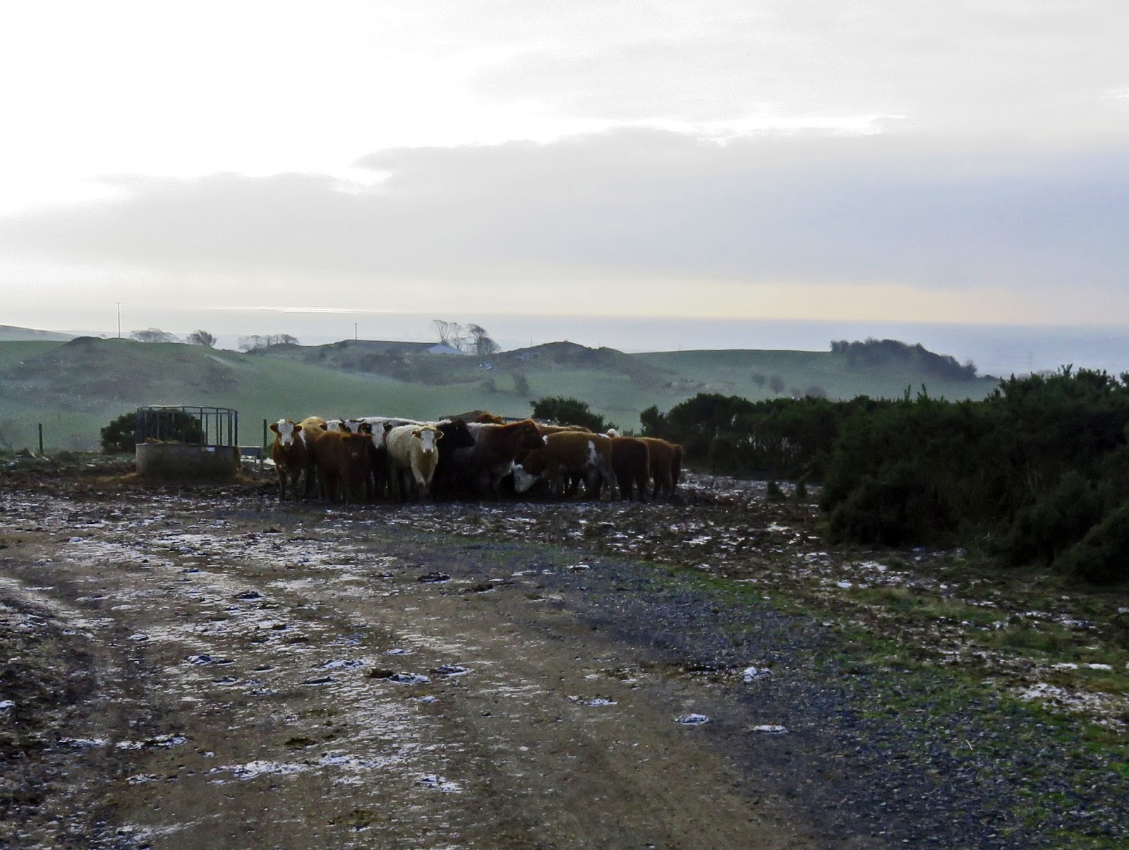 |
| The Coos circling |

Across more fields up to the TV mast and then down towards the new pine plantation below Blackshaw Hill. Good views as we descended across the valley to Dalry, across towards Kaim Hill and over to Hunterston etc.


Up another short hike to Lawhill summit which contained a direction pointer. There were also a large number of stones laid out here, cosmetic or historic? Looking down we could see the 'coffin road' track where the Lords of the Isles bodies would be transported to nearby Portencross Castle, before being shipped to their burial grounds on Iona and other places.

We followed that track for a bit before heading down some lanes and farm tracks back to the cars.
Another good day in excellent company with a bit of history thrown in. Every day is a learning day, you cannot beat it.
Time: 4hr 53min
Distance: 8.89m
Ascent: 1161ft
No comments:
Post a Comment