Hill: The Wiss
Type: Sub2k
Height: 589m

After too long an absence it was time to get back on the hills and start improving my hill fitness. I wanted something on the gentler side so a wee Sub2k in the Borders was perfect. I had intended to do this last year from Ettrick Water but heavy snow on rough ground ruled it out. There are not many reviews for this hill and my intention last year was to use the same route as the others. However looking at the map there looked a better route from the opposite side starting at St Marys Loch. No reviews but it looked feasible and it was a shorter drive.
There had been snow recently so I was unsure of what I was going to find, reckoned it would be wet but packed the micro spikes just in case.
As I drove from Abington to Moffat the clouds were blowing through low and fast leaving snow cover quite low down. But as I drove from Moffat things began to brighten up even some blue sky.
 |
| The view from parking at the Loch of the Lowes |

Parked up I could not see my target and the good news that the hills were green, but higher up?
The Wiss is the high point between the Yarrow Water (this side) and Ettrick Water (other side).
 |
| Follow the SUW |
One reason for choosing this route was that I was utilising the Southern Upland Way for a stretch thus reducing the moorland bashing. I passed a herd of coos but they were slightly off the track and they simply stared. Climbing gently it was the sheep's to do the staring.
 |
| Skirting the new plantation |
After the sheep pen there was a new plantation ahead which was not on any maps and before where I was planning to leave the SUW. I explored a bit further but backtracked where I left the SUW and followed the fence. Some open ground before I reached the trees I was looking for.
 |
| Had to leave ATV track and head towards end of trees |
My plan was to follow the treeline but the ground was full of tussocks so it was easier to follow the odd ATV track, then tussocks, then ATV track keep repeating. The area is called Long Moor, aptly named.
Still it felt good to be out in the hills, super long distance views and the target was not too far away. The ground was firmer nearer the summit, much easier walking.
I reached a meeting of fences where I thought the trig was but nope not to be seen. Climbed the fence and about 50m later it came into view.
 |
| View back over Moffat hills |
 |
| Looking West over St Mary's Loch |
 |
| East over Ettrick water Eildons in distance |
 |
| Zoomed in to the Eildons |
From the summit there are excellent views all round with the exception when looking back towards Moffat where it was still ominously dark skies and the wind was blowing it my way. Light snow covered the higher tops looking spectacular when the rare burst of sunshine illuminated them. No idea what The Wiss means but looking at the map if you continue along the ridge the next section is called Moory Hass, fantastic names in the Borders.
 |
| The descent. A few Donalds on view including Capel Fell, Hermans Law. |
 |
| White Coomb range snow topped |
As I descended the wind reduced the temperature considerably along with a short burst of sleet, hood up but no rush lots to look at.
 |
| My target one of many sheep pens |
It was easier descending until I was reminded things can go wrong. A bit of wet bog I thought was solid until my leg went down to my knee. Luckily the poles were anchored and stopped any injury but a useful safety reminder on my return to the hills.
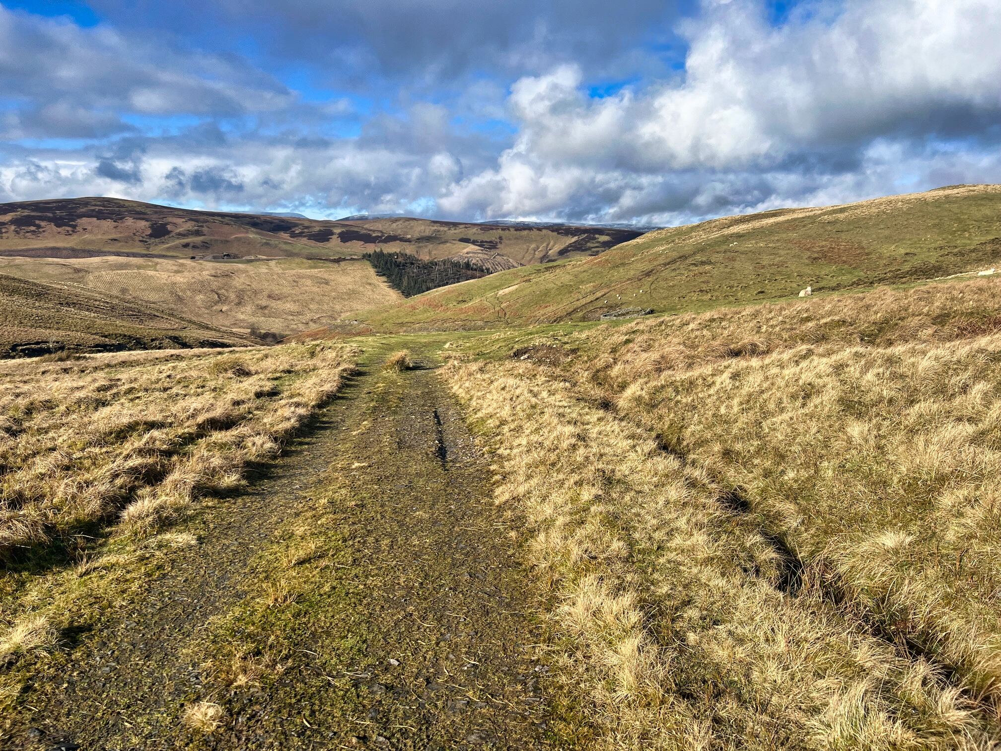 |
| Final track where are the coos? |
On the final descent the coos were now all over the track staring at me but my saviour was coming uphill. The farmer with a big bale of hay on his tractor turned up went to the feeding station and off they followed.
The objective was achieved a pleasant short ramble with just enough ascent to make it a proper hill walk.
Ascent: 389m
Distance: 9.6km
Time: 2.39
Wildlife: Robin; Chaffinch; Crossbill; Blue Tit; Great Tit; Rook; Jackdaw; Pheasant: Skylark (heard); Buzzard
No comments:
Post a Comment