Showing posts with label Hill forts Scotland. Show all posts

Saturday, 28 December 2024

Borders Sub2k raid Hill 3.....Hownam Law

Hill: Hownam Law

Type: Sub2k

Height: 449m


The Borders flatlands are dotted with volcanic plugs so it is not surprising many of them are also historic hill forts. I have visited quite a few. Today was another such hill. This fort was 1st identified in written format in the 1700’s. It was a significantly large structure, only 2nd to the one on The Eildons so a significant hill fort.

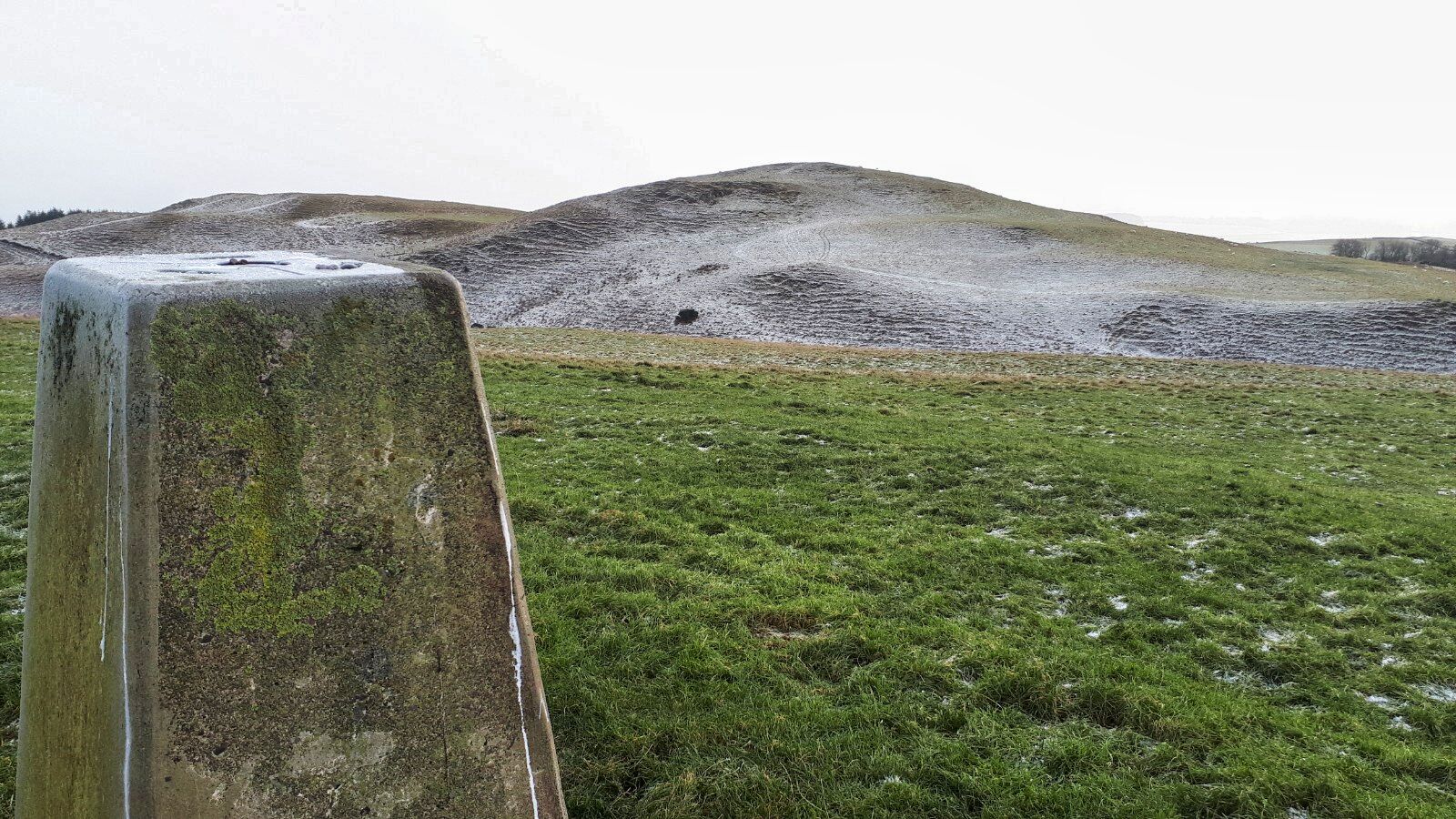
The pointed top is Hownam Law

Room for only a single car so thankfully no else was here. A pair of Roe deer looked at me in disgust for spoiling their morning browsing before disappearing into the small copse of trees.

I had a good view of Hownam Law from the parking area before wandering up over the arched stone bridge and down to the farm.


Although on farm tracks the lower sections were a horrible gloopy mud fest and I lost count of the number of gates I had to open or climb.

A good gradient meant decent progress without sweaty stress. A very wide tyred tractor had chewed up the ground. It must have been heavy but no indicator of what it had been carrying.

Getting closer I was surprised at how much landslip had taken place on the slopes

Disturbed a flock of grazing fieldfare as I gained height and it was just me and the sheep. Or so I thought. 

Zoomed in on landslip exposing the volcanic rock and the coos

I spotted a head looking down at me and then one became a dozen, a herd of coos. I kept ascending and got a better look at them, they looked rough like a herd that remains out all year. There were lots of other cattle on the hills but they were all a smallish black variety a mainstay of the Borders. My lot were not interested in eating but continued to stare at me.

My detour all the way left this side of the dyke

I was walking up the side of a stone dyke which I could see turned right beside where they were standing, on the path to the top. I opted to cross over the dyke and head north to try to get to the back of the hill.

Of course my detour had fresh coo droppings, they were from the black ones but although they had spotted me they were lower down the hill and couldn’t be bothered with the effort to come up and annoy me.

Round the back of the hill I again clambered over the dyke and crossed the rough ground up to the trig. The dyke was probably along the boundaries of the lower outreaches of the hillfort.

Safely on the summit and the view to The Cheviots


Nice sun burst breaking through the clouds illuminating the landscape

Of course a magnificent long distance view particularly of any invaders coming from the English side, probably Romans or even built by the Romans but maybe even earlier.

Descending heading for the strip of trees


The descent was simply a case of back via the same route where from on high I enjoyed watching a sheep round up on nearby hills. Two people on quad bikes with a dog each, flying up and down the hills, lots of shouting and whistling, a working session for them but a pleasure for me.

A lovely crisp winter ramble without any snow, ideal.

Ascent: 392m

Distance: 6.6km

Time: 1.56

Wildlife: Buzzard; Raven; Roe Deer (2); Jackdaw: Rook: Fieldfare 30+; Crow

Friday, 27 December 2024

Borders Sub2k raid Hill 2.....Linton Hill

Hill: Linton Hill

Type: Sub2k

Height: 282m


After my short ramble up Sell Moor Hill I drove to Linton Hill which is another Cheviot foothill, to be found on the narrow back roads between Kelso and Town Yetholm. 

The mast visible top left

I parked on a muddy section on the side road across from the War Memorial, closely watched by the occupant of a nearby house who stayed at her window until I had walked away. 

Escaping the watcher I crossed the road and headed up the hard packed track which initially leads to a farming related garage/workshop before continuing uphill to the farm buildings which are adorned with squirrel ornaments. Indeed a grey one ran across the yard, had hoped it might have been a red.

Could have headed for the trees but stayed on the track

Then the track became more of a muddy tractor trail with a couple of gates to negotiate/climb over.

I spotted some cattle on the brow of the hill and they had spotted me. Two of which did some stiff legged jumps and ran around a bit. Flighty youngsters I thought and as I had another field beside me a slight detour seemed the obvious move.

Heading diagonally to the top corner

I thought the field was empty but there were fresh coo pats and as it was an undulating field I was on high alert in case I stumbled across some over a brow.

But as it turned out there was no issues other than there was high dyke running the length of the field with electric wires on each side which I had to get over at some point. Thankfully at the top corner there was another climbing gate.


What have you done with our mate?

Still trying to hide

Once again the next track had more fresh coo droppings so still looking around as I headed for the mast. I disturbed a flock of sheep who all went one direction apart from the village idiot who was now confused and separated from its mates.

The Eildons are never far away. Must be one of the most notable profiles

After having a look over the lovely countryside and the obligatory Eildons I reached the mast. Wandering round it I found the trig which was hidden behind it.


Zoomed in I think the right cairn is The Cheviot

Panoramic over Kirk Yetholm to The Cheviot range 

Nice views particularly across to the nearby Cheviot Hills, England is very close. With these 360 degree views it was no surprise that this was another Iron Age hillfort but most of which was destroyed by farming in the 1700’s so nothing to see. Just used my imagination.

Hownam Law on the left

Upon leaving the top I noticed an isolated group of Scotch Pines, not so frequent in the Borders. Also spotted on the left of the trees is Hownam Law which I hoped to do tomorrow.

As I clambered over a gate I noticed the farmer had dumped a fresh stack of hay right beside it. It was not there earlier. Coincidence or deliberate but luckily for me the coos had not yet worked out that it was there.

Glad I fitted it in today, a pleasant wee ramble with good views.

Ascent: 189m

Distance: 4.8km

Time: 1.19

Wildlife: Rook; Pheasant (m+f); Blue Tit; Wren; Crow; Blackbird; Wood Pigeon; Grey Squirrel;

Saturday, 31 December 2022

Highstown Hill

 Hill: Hightown Hill

Type: Sub2k

Height: 250m


Walkhighlands description ‘Hightown Hill is the highest point of the rolling countryside northeast of Dumfries. Or is it? A survey has shown that adjacent White Hill is the same height. Best climb both these summits to be sure of bagging this one’. Mmhh.

I was heading to Moffat to blue tick Scaw’d Fell and took the opportunity to tick off this tiddler as well. A slight diversion via the Dumfries road so not too far out of the way. The temperature never rose out of sub zero numbers but the main roads were fine even if my screen wash was obvious at summer settings. The hill is so short that it makes you wonder the validity of some of these lists, but a Sub2k it is so I did it.

Hightown hill is located in the middle of extensive farmland so getting parked on these single track roads is a bigger challenge than the climbing the hill, particularly with very wide farm equipment coming by.

So a six point turn, parked as close to the hedge as I could get and the walk was on.


Climbed the gate as it had a combination lock and headed across the field to the next gate. Big holes indicated cattle had been here but thankfully not today. Climbed the next gate and plodded up the grassy slopes. Light snow was falling but no issues. A huge flock of starlings rose and noisily flew round the other side.


Criffel rising out of the mist

Reached the cairn where there are nice views particularly looking over towards Criffel.

Another hill fort to bag!
Across the way lies the aforementioned White Hill. All the maps I looked at have it as lower than Hightown but as it had taken no time to get up Hightown I might as well do them both. Another attraction is that is marked on the map as the ruins of a hill fort.

Do the slopes like like structures? Electric fence ahead 
As I went down the slope I could see a hole in the dyke but could also see a fence behind it, maybe there is a gap, nope. Touched the top wire and got a significant electrical pulse so glad I had no rucksack and squeezed my large frame through the middle wires.

View back to Highstone Hill
Up to the top of White Hill where two stones marks its top and a flock of sheep that seem unconcerned by my presence. Little evidence to my untrained eye of the fort. Anyway, that is both climbed just in case so I can confidently get my blue tick. It does have a slightly better all round view to justify its hill fort status.

Avoided the electric fence on my descent by heading to an ATV track which leads back to the farm. But with hindsight I should have stuck to the fields. This track is alternatively hard rutted or boggy, not easy walking. But I did flush a snipe at two different points close to each other but not the same bird. Both took off silently rising on a S shaped manoeuvre, like a fighter plane avoiding being hit.

The tricky bit 
At the farm I followed the road back to the car. This was the hardest part of the walk as the road had a solid coating of ice and it was all downhill. Survived. Another short ramble but at least rewarded with another blue tick.

Now, I have an appointment with the Lowland Brewery at Lockerbie, if I can get out of the maze of these country roads. Not quite sure that hill ramble deserves a beer but lack of height/distance/time has never stopped me so far. Cheers.

Ascent: 162m

Distance: 2.3km

Time: 0.47

Wildlife: Starling 50+, Snipe, Meadow Pipit