Hill: Hightown Hill
Type: Sub2k
Height: 250m

Walkhighlands description ‘Hightown Hill is the highest point of the rolling countryside northeast of Dumfries. Or is it? A survey has shown that adjacent White Hill is the same height. Best climb both these summits to be sure of bagging this one’. Mmhh.
I was heading to Moffat to blue tick Scaw’d Fell and took the opportunity to tick off this tiddler as well. A slight diversion via the Dumfries road so not too far out of the way. The temperature never rose out of sub zero numbers but the main roads were fine even if my screen wash was obvious at summer settings. The hill is so short that it makes you wonder the validity of some of these lists, but a Sub2k it is so I did it.
Hightown hill is located in the middle of extensive farmland so getting parked on these single track roads is a bigger challenge than the climbing the hill, particularly with very wide farm equipment coming by.
So a six point turn, parked as close to the hedge as I could get and the walk was on.


 |
| Criffel rising out of the mist |

 |
| Another hill fort to bag! |
 |
| Do the slopes like like structures? Electric fence ahead |
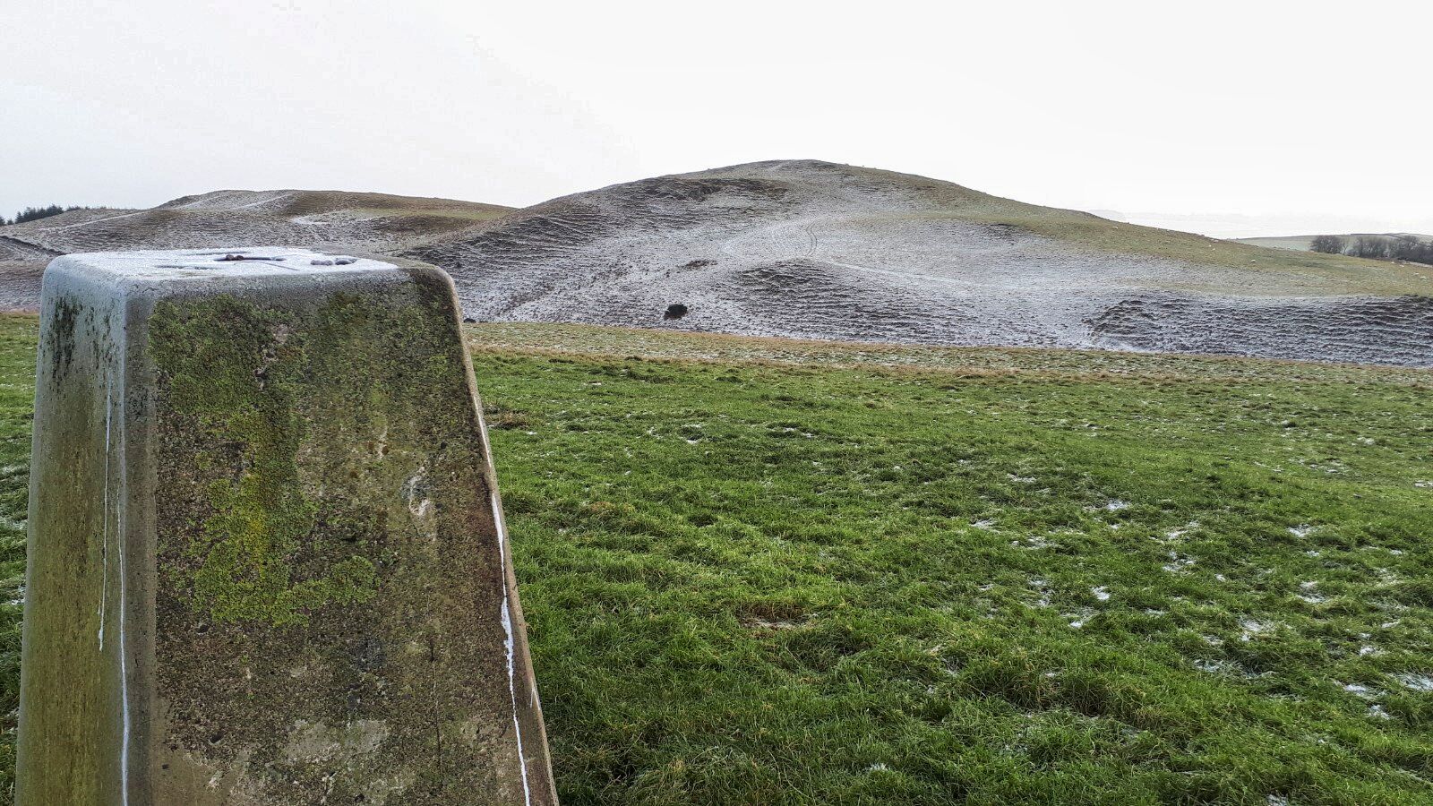
 |
| View back to Highstone Hill |
Avoided the electric fence on my descent by heading to an ATV track which leads back to the farm. But with hindsight I should have stuck to the fields. This track is alternatively hard rutted or boggy, not easy walking. But I did flush a snipe at two different points close to each other but not the same bird. Both took off silently rising on a S shaped manoeuvre, like a fighter plane avoiding being hit.
 |
| The tricky bit |
Now, I have an appointment with the Lowland Brewery at Lockerbie, if I can get out of the maze of these country roads. Not quite sure that hill ramble deserves a beer but lack of height/distance/time has never stopped me so far. Cheers.
Ascent: 162m
Distance: 2.3km
Time: 0.47
Wildlife: Starling 50+, Snipe, Meadow Pipit
No comments:
Post a Comment