Hill: Drumcroy Hill
Type: Sub2k
Height: 512m

When I left there was a Met Office weather warning for the north of Scotland which could include Perthshire, torrential rain and high winds, sounds like every other day this summer. As I was passing through it was not too bad so I decided to give it a go.
 |
| From the start Ben Vrackie in sight |
Parked up opposite the telephone box where some Walkhighlanders report being told by a house owner this was private land but nobody came out today.

Walked up the road a bit, through a hidden entrance to a deer fence with a side gate. Obviously this isn't used much, if at all.

 |
| Beinn a' Ghlo hills visible on the climb |
A meandering easy gradient track led all the way to the treeline. Some nice views despite the low cloud but although threatening dark clouds were scudding overhead it was dry for now.

At the trees there is another deer fence which has to be climbed if you want to go a more direct route through the forest. But it is pathless with a lot of storm blown trees so not worth the risk.

So I stuck to the treeline and followed a faint ATV track due south. This came and went but with the growth all around I suspect this will disappear in a couple of years.
 |
| View of the climb back |
Followed this up any easy gradient, but it was humid and I was sweaty, until another deer fence is reached which has to be climbed.
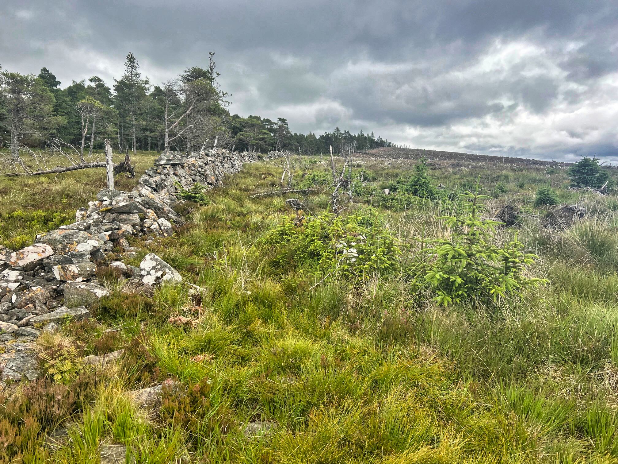
Now a dyke runs east. One side has been deforested and the other is part of the aforementioned forest. One side ugly and the other pretty.
Because of where I was I began by walking on the deforested side. The walking wasn't the easiest so I went through one of the many holes in the dyke to walk the forest side. This was mostly better going, plenty of water filled holes to be looked out for and deer trails for some of it. In reality there was a bit of toing and froing between sides to avoid the blown over trees.
 |
| Cairn few stones on left will soon be overgrown by the trees |

I reached what appeared to be the high point beside a group of fallen trees. I had read that the small pile of stones marking the summit had been moved from the forest to the ugly side. Could I see them, nope. Through some new growing trees I spotted an iron post. Wandered over to the other side of them and hidden away were a few boulders that seemed to mark the summit. The ground was falling away so this was the high point.
On a good day you would be seeing Schiehallion but all I had was a big lump disappearing into the clouds.
I headed back the same way, fence slightly harder to climb from this side. Once over the wind picked up and I had a slight drizzle all the way back. Plenty of vibrant purple thistles.

 |
| Looking down to the hamlet of Trinafour |
Once I was changed and in the car the heavens opened, forecast accurate but late, good timing for once.
A short hill outing and another Sub2k bagged but I know I will never be on that summit again.
Ascent: 238m
Distance: 5.9km
Time: 1.55
Wildlife: Pied Flycatcher; Siskin; Stonechat; Meadow Pipit
No comments:
Post a Comment