Showing posts with label Corbett Hills. Show all posts

Monday, 15 July 2024

Three tops to get one tick.....Tarfessock South Top

Hill: Tarfessock South Top (via Shalloch on Minnoch & Tarfessock)

Type: Donald Top

Height: 610m


The Ayr OiR were out out today for a short up and down of the Corbett Shalloch on Minnoch. This is a straightforward walk but with good weather conditions I decided to join them but go a bit further and knock off the Donald Top of Tarfessock South. My planning for my summer walks had me doing this from the Kirriereoch parking area but although this was a longer walk it was too good to miss to do it today plus I would have company for part of it.


As we geared up at the Stinchar Falls parking area it was great to hear a Cuckoo full on calling. I have had two brief encounters with the bird this year but this was the first full calling experience, sadly still to see one.

Ten of us set off up the usual route to Shalloch, extremely boggy, accompanied by the singing Skylarks and Meadow Pipits, presumably mocking us as well as attracting a mate.

Final ascent to Shalloch summit


The way forward

Plucked male Wheatear

My partners coming up Tarfessock

At the cairn at the top of Shalloch five of the group decided to descend and four sad soles came with me to Tarfessock. A rough pathless descent of about 100m followed by an ascent of circa 50m found us at the top of Tarfessock. A cooler stronger breeze got up but still good viewing over this very rough and rugged landscape.

Spot the south top summit?

The crags mark the spot

Rough ground

Now for the return, Tarfessock first then Shalloch behind it

A brief lunch stop for me, longer for the others, before I went solo to Tarfessock top. Now it was unknown territory and a new section of the Awful Hand for me. From up top I could see the objective but I was surprised by how awkward the descent was. Rough ground, craggy tops to be rounded before reaching a boggy section. A trail of sorts and I was at the small cairn, better than many full Donalds I might add.

I had completed a flat walk of 15 miles yesterday so my legs were a tad weary. As such the albeit short re-ascents of Tarfessock and Shalloch were more intimidating than they should have been.

The shortest, but steepest section back up to Tarfessock was the worst, no path, tussocky ground, rounding crags, aching muscles but then I was there.


4 climbing the slopes of Shalloch

Looking ahead I could see my four companions were about two thirds of the way up Shalloch. I wish I was with them but would I catch up with them?


Clouds about to come down to my level

On the way up Shalloch I kind of lost the track and ended up just hiking straight up the straightforward but steep slopes until I reached the plateau and spotted the cairn further away than I expected but at least the terrain was flat and good going.

Now homeward bound but the descent was much more awkward than the ascent. Maybe because the ascent is slower and you are picking the route more carefully. On the descent I was rocking and rolling all over the place no consistent footing. I seemed to be plunging into boggy patch after boggy patch, it was horrible and very tiring.

At least the cuckoo was still calling, obviously no females around or not interested. At the small waterfalls a red squirrel crossed towards the trees, it was moving slowly. Delighted at my first sighting of the year but I suspect all was not well with it.

A good ramble in fine company, a new hill bagged, what's not to like.

Ascent: 845m

Distance: 17.01

Time: 5.22

Wildlife: Meadow Pipit; Skylark; Wheatear; Cuckoo (heard); Willow Warbler (heard); Red Squirrel (1st of the year)

Friday, 3 March 2023

Time for a 'New Donald'....Beninner

 Hill: Beninner via Cairnsmore of Carsphairn

Type: New Donald

Height: 710m

My first big outing of the year turned out to be longer than expected and a walk of two halves. The objective being the addition of Beninner, a New Donald. I wanted to complete the full Donald listing. Some, like today, I am sure I have been on the top but cannot remember or do not have a record.

Defrosting the car was fine with the anticipation of the weather forecast of a blue sky day ahead.

Set of from the Green Well and followed the traditional path which has been improved but at a future cost I suspect. This looks like the foundations of a possible wind farm route, certainly not created for walkers.

We walked past Willieanna and Dunool to reach the horizontal dyke which we followed to the wee bridge.

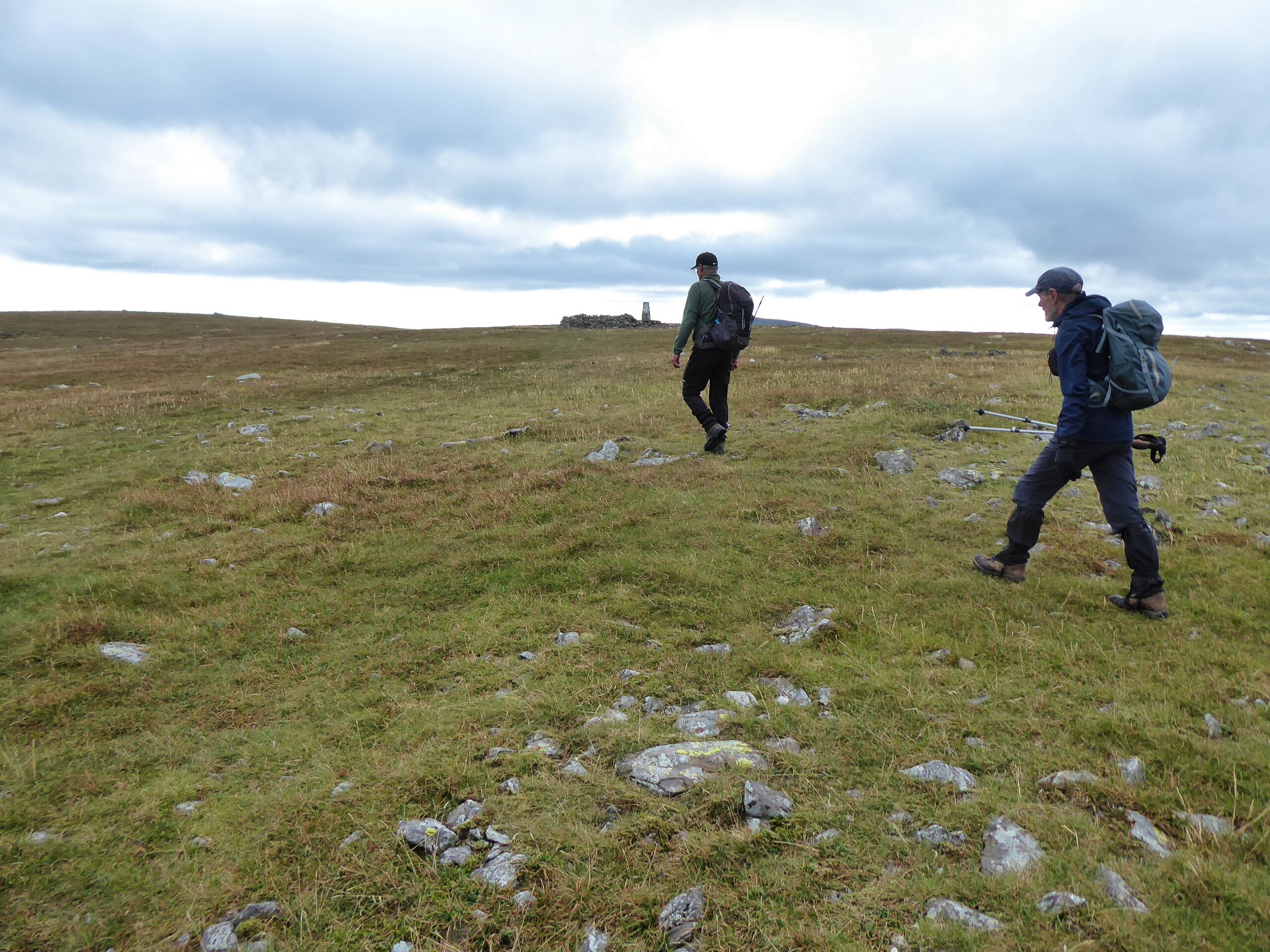
Follow the dyke to the summit

Looking back the walk in
The standard trek up to Cairnsmore of Carsphairn followed. The weather was perfect, blue skies, cool and great visibility, so we had a few stops taking in the views, glorious indeed. They were really getting our breath back stops but still great views.

Loch Doon just in view

Windy Standard wind turbines
The feel good factor was there until we reached the top and the landscape of wind turbines came into view. Time to look elsewhere which was towards the real target of the day Beninner. It looked further away than I expected but I knew it was only about a 30 minute ramble.

Beninner ahead
Headed down the now more challenging surface, more rocks and hidden holes to reach the fence at the Nick of the Lochans, but where were the lochans?. Spectacular view looking back to the crags of Gairy of Cairnsmore.

The lochan
The first of many fences/walls was now scaled, electrified but thankfully no current. A faint track led us to the cairn at Beninner, passing one very small lochan. target achieved.

Looking back to Cairnsmore
Lunch break along with good views but a deep cloud had came over and temperatures had dropped rapido. Time to move on.

Heading towards the hills
We decided to descend via the ridge of Beninner before aiming for Willeanna but this was really rubbish terrain, which started bad and got a lot worse.

Willieanna behind main tree plantation

This was the best of the going
We descended to the burn but finding a crossing point took time and the walking beside the burn was challenging. Finally across the burn we contoured Black Shoulder where initially the going was rough ground but okay. As we contoured below Dunool it was traditional Galloway tussocks and wet ground underfoot. But that was a walk in the park compared to going round Willieanna. At least the sun was back out and I was too warm, never happy!

Well the farmer here does not want you to cross his dykes with barbed wire doing a good job of preventing any climbing. Finally found a bit alongside the horizontal wall. In retrospect we should have followed this round the base of Willieanna. But we went diagonally across the field to reach the ascent track. Big mistake, horrendous slow walking. New tree plantation. Every step was avoiding a big hole most filled with water. Throw in the tussocks and it was no fun at all. It was a long final crossing.

With huge relief we reached trail not too far from the start.

Overall a good walk to get the fitness going again. Would vary the route if doing it again. The descent of Beninner to the track was tough enough but in other conditions when all the grasses, reeds, bracken etc had grown forget it.

Surprisingly for a bright and at times warm day insects were flying but not one bird or animal was seen or heard. No meadow pipits or corvids. What is happening here?

Ascent: 745m

Distance: 14.41km

Time: 6.23

Wildlife: None


Sunday, 18 September 2022

Goatfell but not the tourist track, the scary scramble version.

 Hill: Goatfell via North Goatfell

Type: Corbett

Height: 874m

Another CalMac crossing, I'm becoming a regular these days, this time a sailing to Arran. A pleasant crossing soon passed after a CalMac brekkie roll and good company.

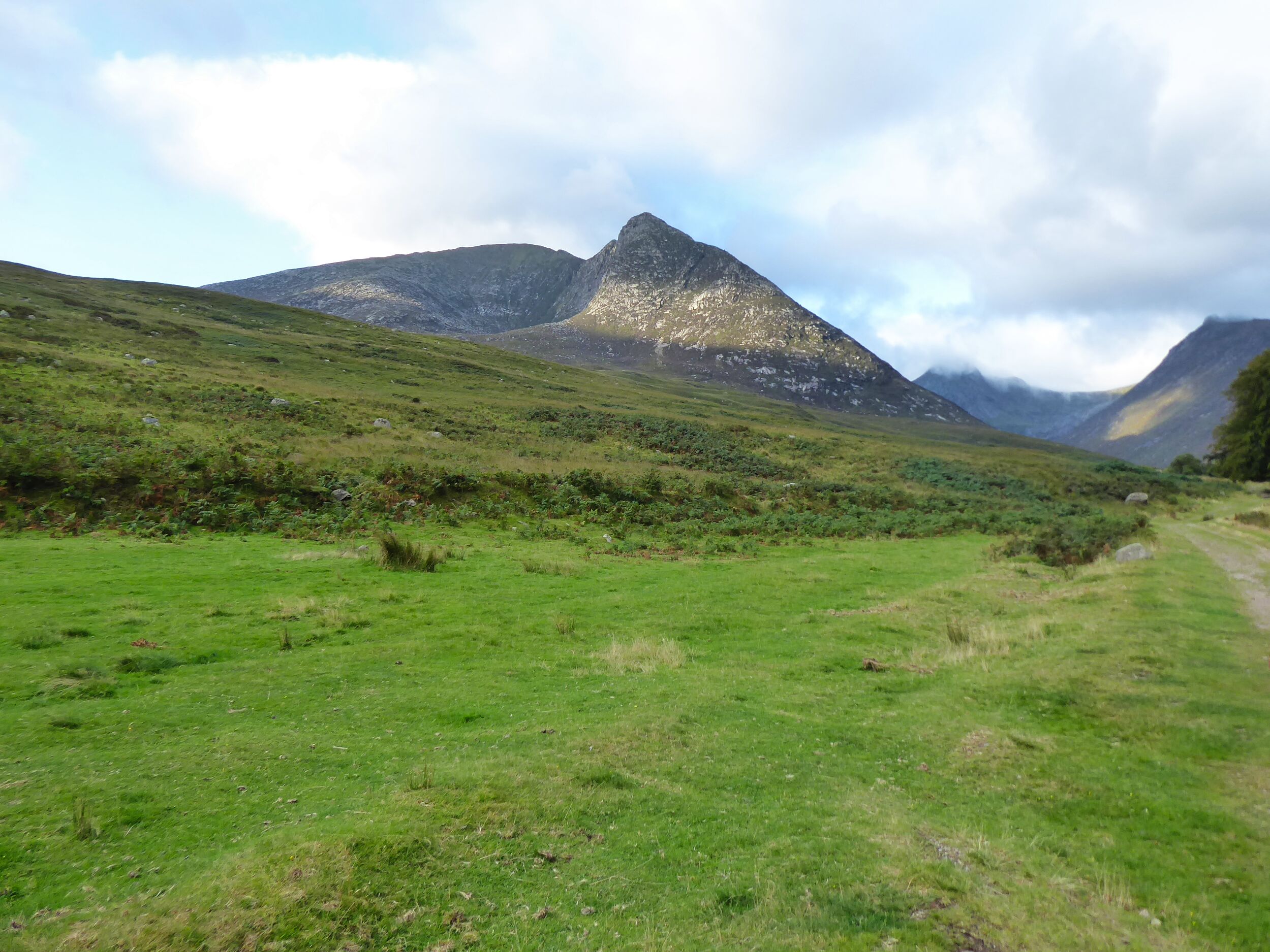
Glen Sannox with Cioch na h-Oighe on the left

Crossed the burn before The Saddle looking back down Glen Sannox
The initial plan for today's walk was to ascend Goatfell from Sannox via the Cioch na h-Oighe. But the best laid plans and all that. The gusting winds put paid to that, potentially too dangerous on the ridge.

The chute
The result was a longer walk up the beautiful Glen Sannox to the first obstacle of the day, The chute that leads to the Saddle. The blue skies and tranquil surroundings made us blaze about what lay ahead. Not tackling the ridge might have seemed the easier option but it was far from that. A few scary moments lay ahead.

The Saddle has a steep chute which is normally challenging but straightforward. Today the rock was wet and slippyery. One person got up it but I could not get a grip with either hands or feet so elected to retreat. The group now ascended via a section nearby which was slightly drier but still a technical challenge for most of the group. Slow progress, helping hands and a few elevated heart rates but we got there. With relief a short break was taken on the top of the Saddle.

Jagged ridge ahead

Scrambling starts again. Goatfell on the right

Rugged landscape. The Witches Step gash on the right
Next obstacle was the climb to North Goatfell. A good track took us most of the way up before the intimidating final section of what now looked like a proper Alpine ridge.

Another steep chute with big drops caused more high stress. We had to keep a distance in case the person in front slipped/fell taking others down as well. Another wet rock section with minimal foot and hand holds was a challenge for most although a couple of the group made it look easy. Easy it was not.

Cir Mhor the spike behind with The Saddle the flatter ground to the right

View down Glen rosa. Is the rock a snake or crocodile?
But we made it to North Goatfell with outstanding views to savour.

Sadly, this was not our top. We now had another ridge with more potentially tricky scrambling and exposure. Even getting to the start of this involved hairy descents over steep slippy rocks, bum sliding at times on these descents.

A debate ensued and the party split with about half, including me, taking the bypass route.

Bypass route

North Goatfell's ridge to Goatfell

Some of the group on top of the rocky scramble
A narrow trail with some exposed minor scrambling before we finally reached Goatfell itself. Looking back the other group were still some ways back. Best decision for a long time to go bypass lol.


The descent
A scenic lunch at the top before making the long, long descent back via the tourist track to Brodick. Most had a well-deserved ice cream, a few a beer.

My face was skelped with a combination of the bright day and the high winds which meant I never felt the sunburn until too late. Plenty of Aloe Vera gel will be applied.

This was a stunning but tough day. Most of the group were experienced walkers but most were feeling significant leg muscle tiredness. A cracking day but I can live without the higher stress levels for a midweek walk.

Ascent: 939m

Distance: 15.7km

Time: 7.24

Wildlife: Raven; Common Darter; Common Blue Dragonfly;

Saturday, 17 September 2022

A return to the Shalloch on Minnoch - Craigmasheenie tussock romp

Hill: Shalloch on Minnoch - Craigmasheenie - Sheil Hill

Type: Corbett

Out with the good folks from ADRC for the standard ramble around these hills. Some things never change. A very boggy start to the Shalloch ascent, surprised at how wet it was underfoot. 

Lunch at the top before having wandering over the plateau to look down over the stunning rugged landscape including Tunskeen bothy.

Then the grassy steep descent to get back into traditional wet tussock country before climbing Craigmasheenie.

A pleasant break before more rough country to get us to Shiel Hill, Before descending and hitting the worst of the tussock walking reminding me why I said I would never climb these hills again!!

A good ramble. Thanks to Moh for leading and the group for good crack all the way round. Cold and windy but excellent long-distance views.


Ascent: 711m

Distance: 15.6km

Time: 5.48

Wildlife: Raven; Goldfinch flock,