Hill: Minch Moor
Type: Sub2k
Height: 567m
 |
| You can see the artwork on the bottom of box it is all over |
 |
| Hope don't meet any of these today |

I had been looking forward to this short ramble particularly as it is just packed with history. The ramble follows the Southern Upland Way from Traquair. No hardship it is a good track all the way. The only downside is that the route is criss crossed by the 7 Stanes MTB tracks so you have to keep your wits about you. If you wanted to make a circuit you would have to use bike tracks, well posted with many having no access signs for walkers. They cant stop you so your choice.
It was a very cold crisp morning with stunning blue skies. Sadly the initial third had a very low sun, so bright that even with polarised glasses on I could only look down not ahead. That's what I get for starting early.

 |
| Walkers bike on right but still saw bike tracks in the mud |
Birds are singing all around, they think spring is in the air, makes a fine accompaniment.


Its not long before the summit nears and a good time to reflect on who has come along this track. At one time it was the main route traversing southern Scotland. Religious importance for travellers between Kelso Abbey and Lesmahagow's Abbies. Edward the 1st brought his army when failing to conquer although he did remove some precious antiquities. Montrose, his cavalry and officers fled through after defeat at Philiphaugh. The sound of war horses coming through must have been spectacular. This route has much, much more, look it up.
 |
| The Sacred Well |
 |
| Walkerburn |


 |
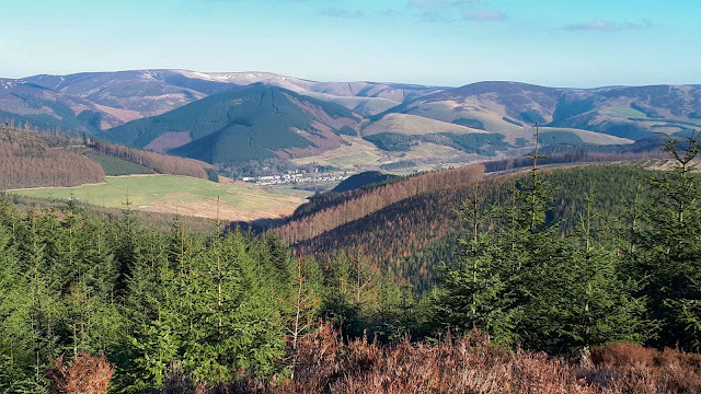
| Eildon hills in background |

I was the only walker but seen quite a few bikers so caution first and back down the ascent route albeit met bikers ascending it. Selfish, they have more than enough tracks for themselves.
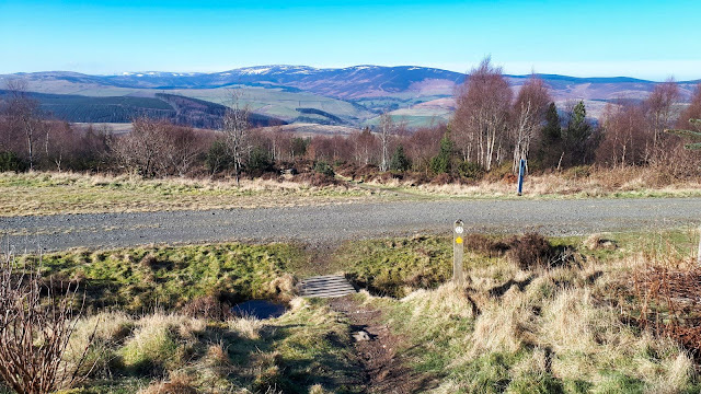 |
| MTB highway to be crossed, Dun Rig behind |

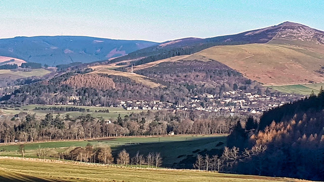 |
| Impressive Lee Pen |
An interesting ramble. Some days are just so good, despite being short I enjoyed that one.
Ascent: 411m
Distance: 8.4km
Time: 2.28
Wildlife: Song Thrush; Blue Tit; Woodpigeon; Jackdaw; Great tit
No comments:
Post a Comment