Hill: The Storr (The steep high cliff)
Type:
Fiona
Height:
719m
Final walking day on Skye for me and I wanted a memorable walk so one thats been on my
list for yonks was The Storr and Hartaval. |
| Cloud shroud |
 |
| After clouds lift |
Along
with Gordon and Liz we parked at an already very busy car park and
from here the views up to this amazing rock formation were already
amazing, could hardly wait until we got closer.It
is fair to say that including Ben Nevis I have never seen so many
people concentrated on such a short section of a walk. It was
interesting seeing all the varying ages & fitness levels. No
wonder a medical response team parked at the bottom I am sure they
get regular calls. The mixture of accents and nationalities also
enticing. Thankfully most of these would only be going to the Old Man
of Storr and not further on.
It
was a very good stone stepped track and it was steep so I was blowing
a bit. The magnificent natural rock architecture was out of this
world.
Finally
we left the masses alone, a few no doubt wondering where we were
heady off over a style onto a muddy track.
 |
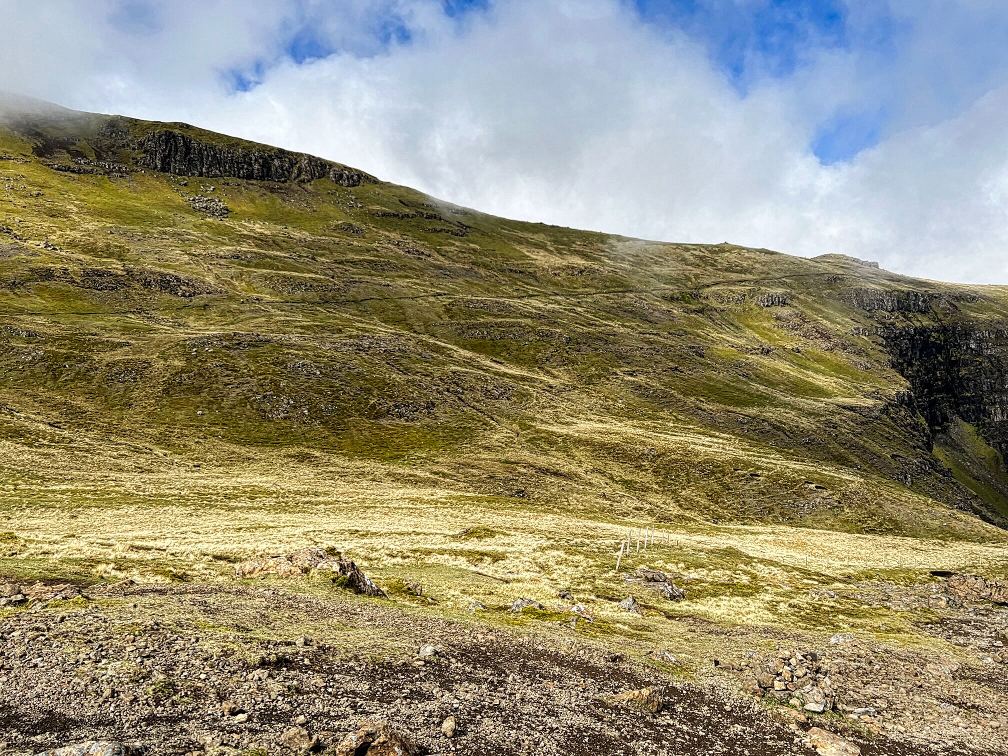
| Trotternish path rising left to right |
A
short section of light scrambling and then the Trotternish trail was
a black line against the green landscape. The route is a huge U bend
but along the first section there were magnificent views over Rhona
and onwards to the mainland and the big peaks of Torridon.
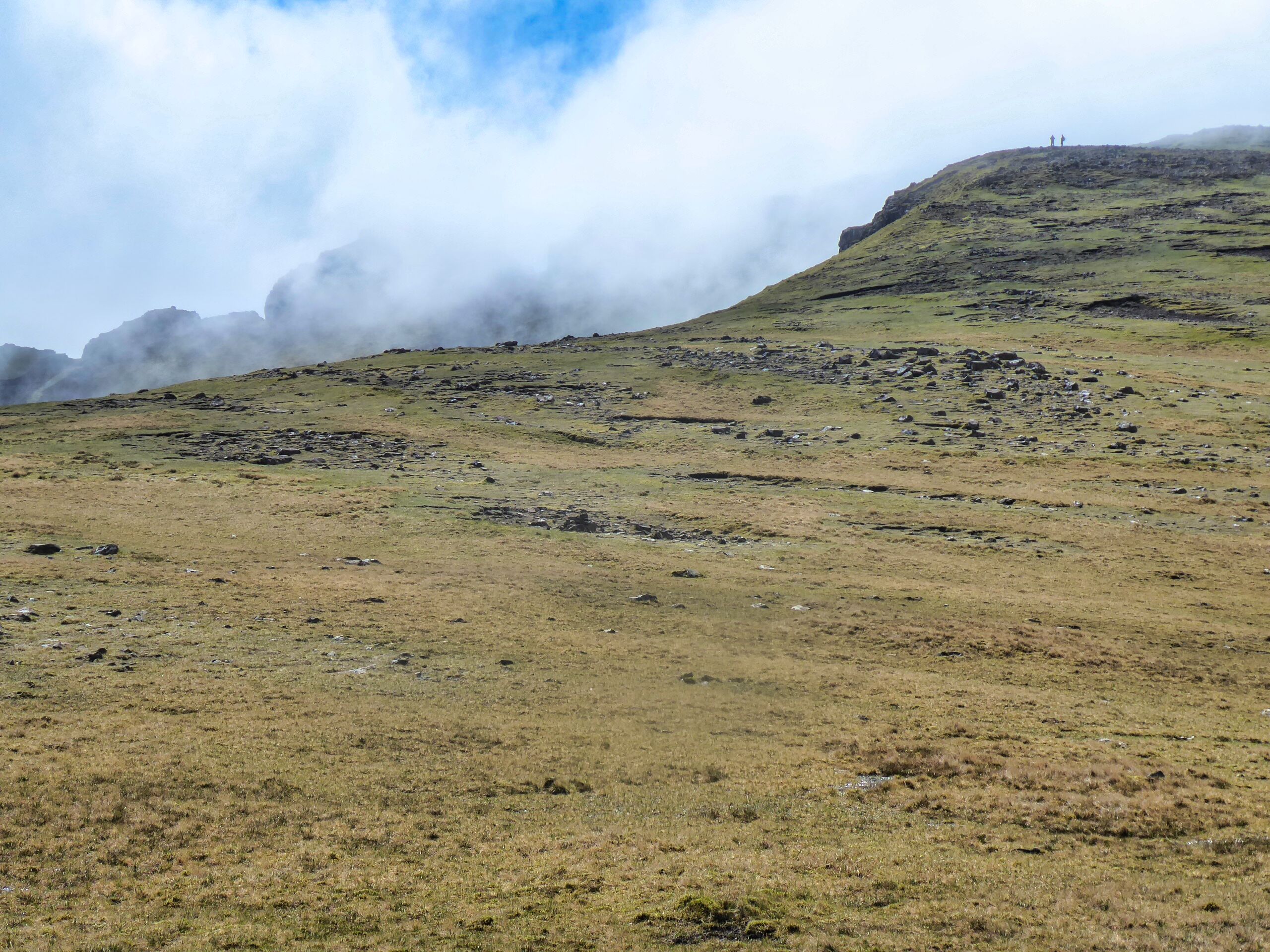
At
the U bend we stopped for a break just as the clouds were lowering
themselves enough to cover the top.
 |
| Top peaking out behind top with the two walkers on it |
The
trek to the top is mainly over grassy slopes with some erosion but is
a gentle ascent. Out of the gloom I spotted a cairn over to our left,
we had veared too far right but not in any danger.  |
| Liz & Gordon brighten up the summit |
Redirected
ourselves and reached the true top, another well built cairn/trig,
very similar to the structure I saw yesterday on Meall na Suiramach.It
cleared briefly to give us some views but another huge deep cloud was
making it’s way towards us. As such Hartaval was abandoned, we
didn’t fancy the 200m descent and reascent potentially in cloud.  |
| Red Cuillin on left and Black on right |
So
we made our way down the grassy slopes towards the gully we had to
find. At first I thought it was further away but Gordon rightly
thought otherwise and we reached the correct gully to descend from.
From
the top it was still a long way down and looks slightly intimidating.
It did need full concentration but although rocky and pathless at
times it was reasonably straightforward. A ring ouzel flew across us,
my first of the year. It did pose but I was not quick enough to get
the camera working whilst balancing on steep stony section.
 |
| Boulder debris |
Finally
to finish a wettish grassy final section where time was taken to
discuss the boulder field from all the collapses from these cliffs. A
few sheep were caught out by these no doubt.
Then
onto the road section and back to the car.
A
top ramble in excellent company. With regularity the views were
outstanding. Only disappointment was the cloudy summit and missing
out on Hartaval.
Ascent:
639m
Distance:
8.6km
Time:
4.28
Wildlife:
Ring Ouzel; Skylark; Meadow Pipit; Feral Pigeon; Orange tip(m); Small
White;


No comments:
Post a Comment